
Mount Gamalama producing frequent heightened amplitude tremors, Indonesia
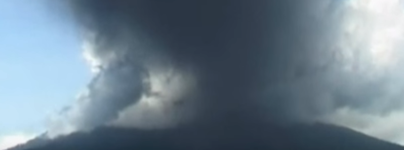
Featured image: Mount Gamalama eruption, September 17, 2012. Image credit: ODN
Over the last couple of days, Mount Gamalama in Ternate, North Maluku Indonesian province, has been showing signs of increased volcanic activity, including frequent tremors of heightened amplitude.
According to Darno Lamane, the Head of Mount Gamalama Observation Post, the Sangaji Puncak Village in North Ternate reported volcanic tremors of increased amplitudes, between 1.5 and 8 mm (0.06 and 0.3 inches) due to activity observed on the surface of the volcano crater. Such frequent tremors may signalize a possible eruption on the near-conical volcano.
Volcanic Activity Increases on Mount #GunungApi #Gamalama #Waspada https://t.co/oQHnJN8prN pic.twitter.com/SAdzNmFhTP
— IntelejenBencana (@IntelBencana) July 20, 2016
Mount Gamalama spewed a plume of smoke about 200 m (656.2 feet) into the air on July 17, 2016, and the level II volcano alert was put in effect, warning the residents not to approach within a 1.5 km (4 921.3 feet) of the peak.
Gamalama has been intermittently active for many decades, with fluctuating seismicity and weak occasional explosions resulting in ash plumes, according to GVP. Pyroclastic flows occurred in 1993, 1996, and 2003, while a deadly lahar occurred in 2011. A series of small explosions caused ashfall in the period between September 15 and 17, 2012. The volcano was quiet until December 2014, when an eruption injured several hikers and one went missing. Ash explosions between July 16 and 20, 2015 caused about 1 500 people to evacuate. Additional explosions took place between August 4 and September 8, but activity declined through October 2015.
Geological summary
Gamalama is a near-conical stratovolcano that comprises the entire island of Ternate off the western coast of Halmahera and is one of Indonesia's most active volcanoes. The island was a major regional center in the Portuguese and Dutch spice trade for several centuries, which contributed to the thorough documentation of Gamalama's historical activity.
Three cones, progressively younger to the north, form the summit. Several maars and vents define a rift zone, parallel to the Halmahera island arc, that cuts the volcano. Eruptions, frequently recorded since the 16th century, typically originated from the summit craters, although flank eruptions have occurred in 1763, 1770, 1775, and 1962-63. (GVP)
See also:
Video credit: ODN
Commenting rules and guidelines
We value the thoughts and opinions of our readers and welcome healthy discussions on our website. In order to maintain a respectful and positive community, we ask that all commenters follow these rules.