
Another level M-Class flare
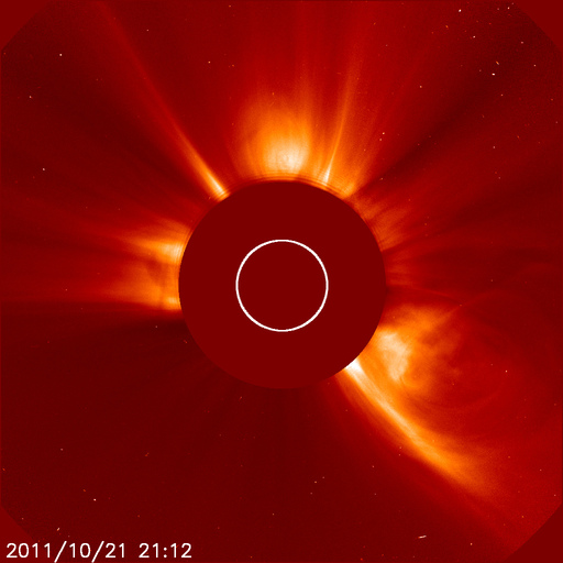
Image credit: TW
Another low level M-Class flare, this time raching M1.3 took place at 13:00 UTC Friday morning. The source of this flare was Sunspot 1319 which is approaching the western limb.

Space Weather Prediction Center has just released a new page and tool to help predict possible geomagnetic storming. Click HERE to check it out. I will be adding a permanent link to the website soon.
The prediction of geomagnetic storms just got a whole lot better, thanks to the WSA-Enlil space weather model now running on NOAA supercomputers. The WSA-Enlil model helps SWPC narrow forecasts of storm arrival times from a 30-hour window down to a 12-hour window. “Ambient” model runs, which do not include coronal mass ejections (CMEs), are run every two hours – results are here. When a CME threatens, the model is run in a different mode and the most recent results are here (This page currently features a series of CME’s that erupted Oct 1.

Earlier reporting
Nothing on Watchers was published in the last 24 hours. These are older articles.
- On October 22, 2017, a single flash of lightning stretched 515 miles from eastern Texas to near Kansas City, a distance that takes eight hours to drive, and nobody realized how far it had gone until scientists went back through the satellite data years later Epicenter
- CPC posts a slight risk of heavy rain from the Gulf Coast to the Northeast urban corridor November 25-29, and a moderate risk of West Coast wind and Sierra snow on November 25
- Florida's east coast faces a moderate flash flood risk Wednesday through Friday, with 4 to 8 inches of rain forecast and the St. Johns River near Cocoa already in major flood at 17.13 feet
- Cyclone Akvan to make landfall between Nellore and Visakhapatnam around noon on November 20, IMD forecasts 120-130 km/h winds gusting to 145
