
Strong 6,1 earthquake hit Santa Cruz Islands
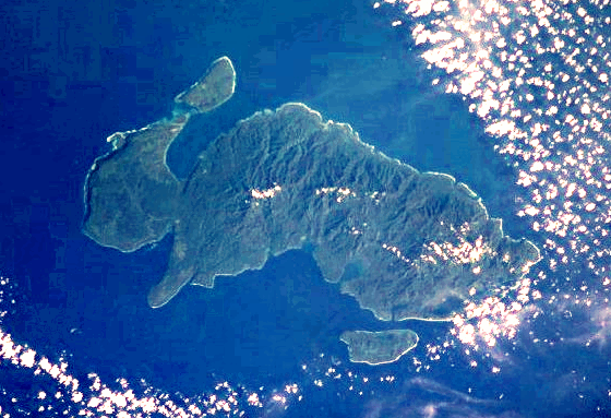
Image credit: TW
Strong earthquake magnitude 6,1 hit 93km South-SouthWest from Santa Cruz Islands, Solomon Islands at depth of 13,5km on June 21 O1:04:15.(USGS)


The Santa Cruz Islands are a group of islands in the Pacific Ocean, part of Temotu Province of the Solomon Islands. They lie approximately 250 miles (400 km) to the southeast of the Solomon Islands Chain. The Santa Cruz Islands lie just north of the archipelago of Vanuatu, and are considered part of the Vanuatu rain forests ecoregion.
The largest island is Nendo, which is also known as Santa Cruz Island proper (505.5 km², highest point 549 m (1,801 ft), population over 5000). Lata, located on Nendo, is the largest town, and the capital of Temotu province. Other islands belonging to the Santa Cruz group are Vanikoro (173.2 km², population 800, which is actually two islands, Banie and its small neighbor Teanu) and Utupua (69.0 km², highest point 380 m (1,247 ft), population 848).
")
The Santa Cruz Islands are less than five million years old, and were pushed upward by the tectonic subduction of the northward-moving Indo-Australian Plate under the Pacific Plate. The islands are mostly composed of limestone and volcanic ash over limestone. The highest point in the Santa Cruz Islands is on Vanikoro, 924 m (3,031 ft).
The term Santa Cruz Islands is sometimes used to encompass all of the islands of the present-day Solomon Islands province of Temotu.
Commenting rules and guidelines
We value the thoughts and opinions of our readers and welcome healthy discussions on our website. In order to maintain a respectful and positive community, we ask that all commenters follow these rules.