• After historic flooding in Washington, a new atmospheric river is forecast to impact the U.S. West Coast

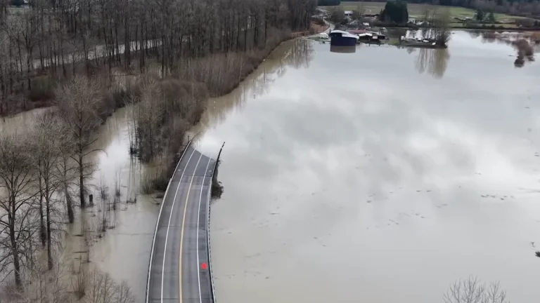
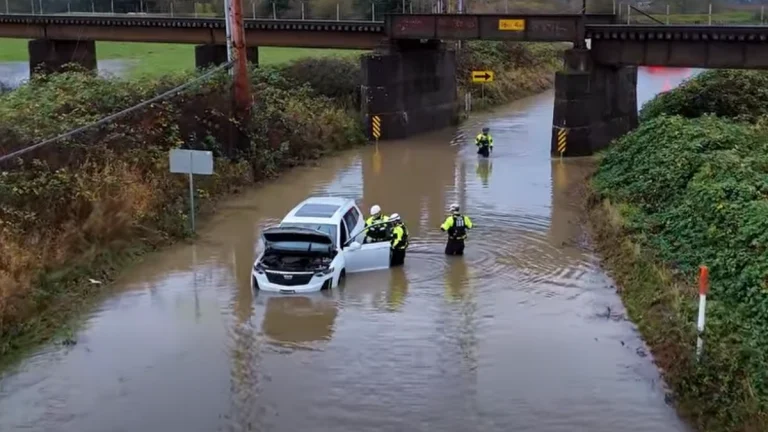
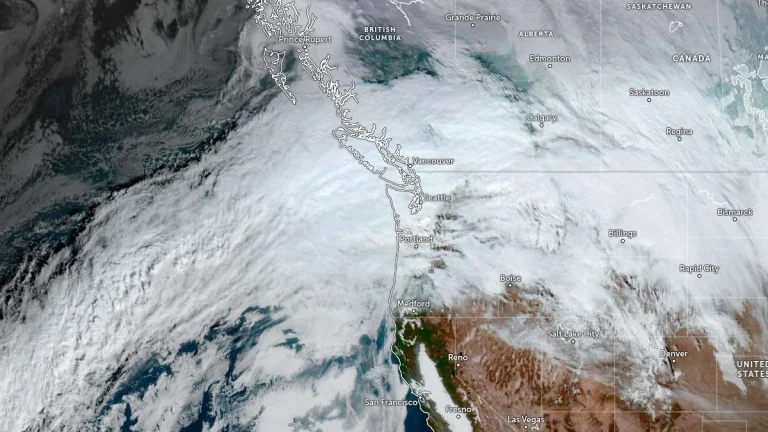
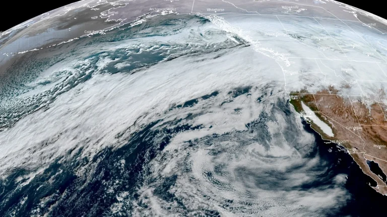
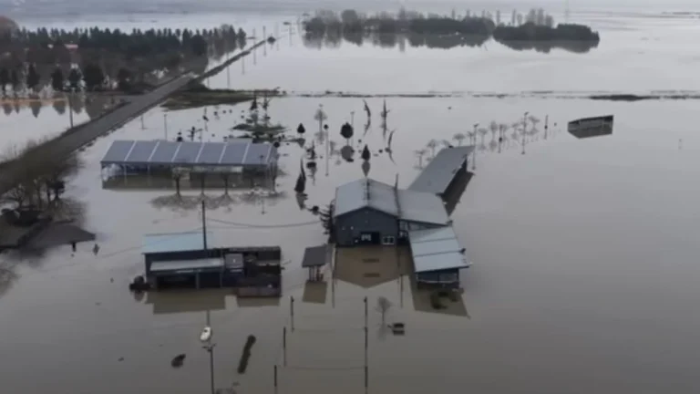
    Historic flooding caused by a major atmospheric river earlier this week impacted large parts of western Washington state, prompting evacuations, emergency declarations, and record river levels. As impacts from that event persist, another strong atmospheric river is forecast to reach the Pacific Northwest on Sunday, December 14, 2025, bringing a prolonged period of precipitation to Washington, Oregon, and northern California through mid-week.

  • Major atmospheric river moves into Washington State, triggering widespread and potentially historic riverine flooding

    A major atmospheric river is producing very heavy precipitation across western Washington today into early December 11, 2025, triggering widespread and potentially historic riverine flooding, according to the Center for Western Weather and Water Extremes (CW3E). Forecasts indicate 130–200 mm (5–8 inches) of rain over the central and northern Washington Cascades and 75–130 mm (3–5 inches) over the Olympic Peninsula through 04:00 PST (12:00 UTC) on December 12. CW3E modeling shows 15 river gauges expected to exceed major flood stage and four to surpass record levels within 48 hours.

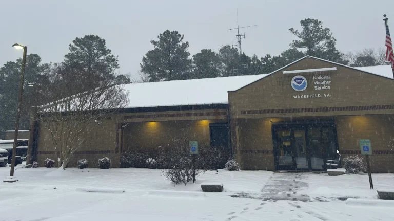
  • Blizzard warnings in effect for parts of West Virginia and western Maryland

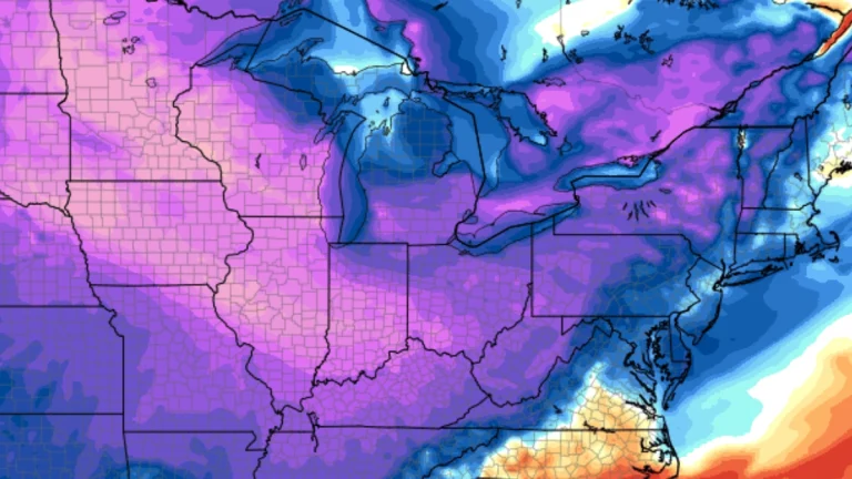
    Blizzard warning have been issued with snowfall totals of up to 30 cm (12 inches) being forecast across the high western slopes along with gusts of 80 km/h (50 mph) across multiple mountain counties. The warnings are in effect for parts of West Virginia, western Maryland, and western Virginia from 10:00 EST Wednesday, December 10, 2025 to 10:00 EST Thursday, December 11.

  • Major atmospheric river brings heavy rain and flooding to Pacific Northwest

    Two successive atmospheric river pulses are affecting the Pacific Northwest this week, delivering multi-day heavy rainfall and flooding risk across western Washington and northwestern Oregon. The first made landfall early December 9, and a stronger second pulse is forecast to arrive late December 9–early December 10, maintaining high integrated vapor transport and major flood potential through December 11.