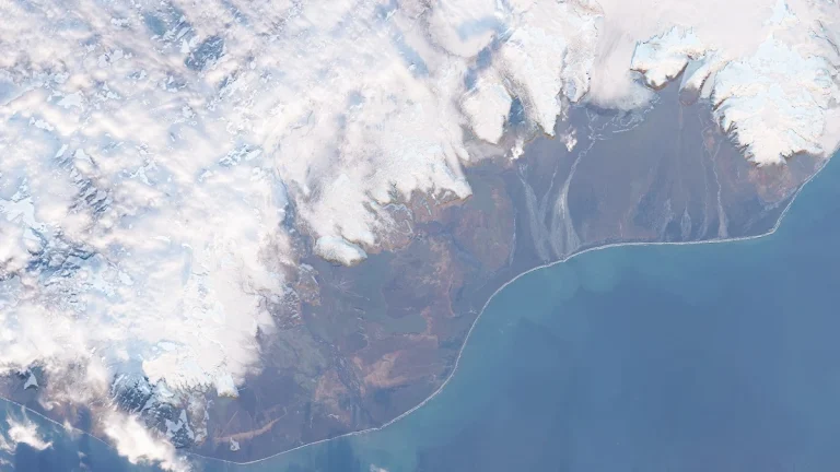
• Glacial outburst flood in Skaftá River confirmed to originate from Vestari-Skaftár caldera, Iceland

    A glacial outburst flood in Iceland’s Skaftá River, first detected on December 8, 2025, has been confirmed to originate from the Vestari-Skaftár caldera beneath Vatnajökull ice cap. Flow at the Sveinstind station has decreased to just over 120 m³/s, down from 200 m³/s earlier in the week. Conductivity remains high and hydrogen sulfide continues to be detected along the river, but no impacts on major roads have been reported.

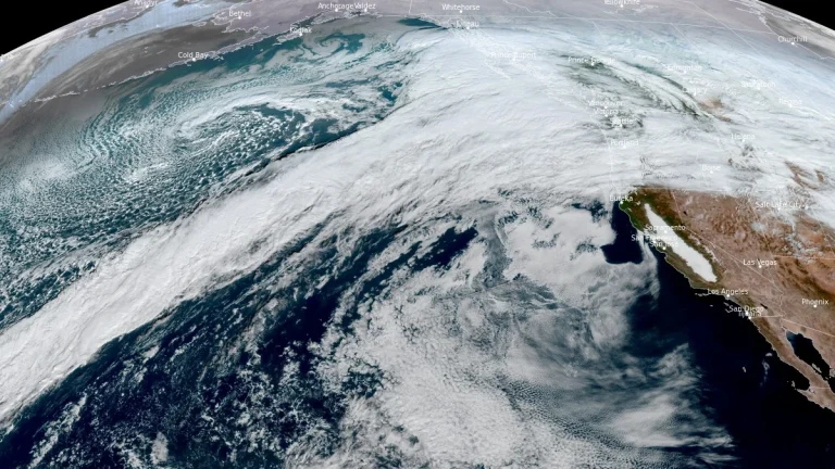
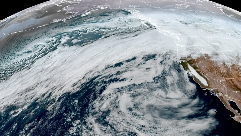
  • Multi-model forecasts indicate increased atmospheric river activity and transition from West Coast Ridge to Pacific Ridge in late December

    Subseasonal forecasts by CW3E show strong multi-model agreement on above-normal atmospheric river activity across the U.S. West Coast during mid- to late December, with the strongest signals over Northern California. Forecast regime tools indicate a transition from a West Coast Ridge to a Pacific Ridge during this period, altering temperature and precipitation patterns across the region.

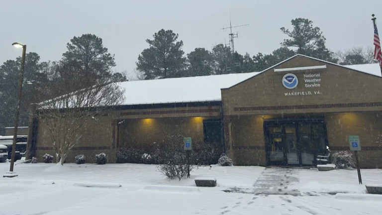
  • Blizzard warnings in effect for parts of West Virginia and western Maryland

    Blizzard warning have been issued with snowfall totals of up to 30 cm (12 inches) being forecast across the high western slopes along with gusts of 80 km/h (50 mph) across multiple mountain counties. The warnings are in effect for parts of West Virginia, western Maryland, and western Virginia from 10:00 EST Wednesday, December 10, 2025 to 10:00 EST Thursday, December 11.

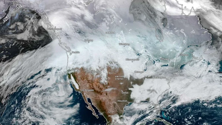
  • Major atmospheric river brings heavy rain and flooding to Pacific Northwest

    Two successive atmospheric river pulses are affecting the Pacific Northwest this week, delivering multi-day heavy rainfall and flooding risk across western Washington and northwestern Oregon. The first made landfall early December 9, and a stronger second pulse is forecast to arrive late December 9–early December 10, maintaining high integrated vapor transport and major flood potential through December 11.

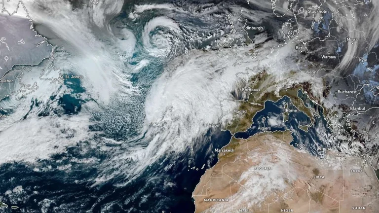
  • Severe winds and hazardous seas forecast for Ireland and the UK as Storm Bram deepens

    A rapidly deepening Atlantic low, named Storm Bram, is forecast to pass close to the western coasts of Ireland, Northern Ireland and the Outer Hebrides on Tuesday, December 9, 2025, bringing very strong southerly winds, heavy rain and exceptionally high seas. The system forms part of an active North Atlantic storm train linked to recent Polar Vortex disruption.