I am an Assistant Editor and Severe Weather & Science Journalist at The Watchers, specializing in real-time severe weather coverage, geophysical event reporting, and research-driven scientific analysis. You can reach me at rishav(at)watchers(.)news.

  • Double fireball event and aurora observed over Fairbanks, Alaska

    Two fireballs were observed streaking across the sky over Fairbanks, Alaska, in the early hours of December 1, 2024, accompanied by a green aurora. The two fireball events occurred just two hours apart, creating a rare spectacle for early-morning skywatchers.
  • Atmospheric river forecast to make landfall over Washington and Oregon this weekend

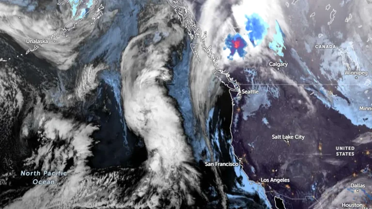
    An atmospheric river is forecast to bring significant precipitation to Washington and Oregon between Friday and Saturday, December 6 and 7, 2024, with the Olympic Peninsula and North Cascades expecting up to 127 mm (5 inches) of rainfall and AR2 conditions likely in southern Washington and northern Oregon. While confidence is high regarding the occurrence of the event, uncertainties remain in its duration, intensity, and precise timing due to variability among GEFS ensemble model predictions.

  • 3 injured as wildfire rages through Chile’s Chacabuco Province

    A wildfire in Chile’s Tiltil Commune, Chacabuco Province, scorched 200 ha (494.2 acres) of land on Saturday afternoon, November 30, 2024, prompting evacuations, injuring three people, and raising suspicions of arson before being controlled by firefighting teams.

  • Record snowfall blankets parts of U.S. during Thanksgiving snowstorm

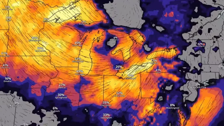
    A powerful lake-effect snowstorm fueled by record-warm water temperatures in the Great Lakes unleashed its full force over 2024 Thanksgiving weekend in the United States, burying parts of New York, Pennsylvania, and Michigan under more than 90 cm (3 feet) of snow. The city of Erie, Pennsylvania, experienced its snowiest day on record on Friday, November 29, receiving 57.4 cm (22.6 inches) of snow in 24 hours. The Arctic air colliding with the warm lake waters triggered intense snowfall rates of up to 100 mm (4 inches) per hour, creating hazardous conditions that are expected to persist until midweek.