
Strong eruption at Fuego volcano produces pyroclastic flows up to 7 km, prompting evacuations, Guatemala
Activity at Guatemala’s Volcán de Fuego intensified on August 3, 2026, producing pyroclastic density currents that traveled 5 to 7 km (3 to 4 miles) through the Seca ravine. The eruption entered a paroxysmal phase late that evening, with lava fountains reaching 200 to 300 m (650 to 1 000 feet) above the crater, before currents expanded into five ravines early on August 4. SE-CONRED declared an Institutional Orange Alert, and authorities ordered preventive evacuations in El Porvenir, Las Lajitas and nearby communities.

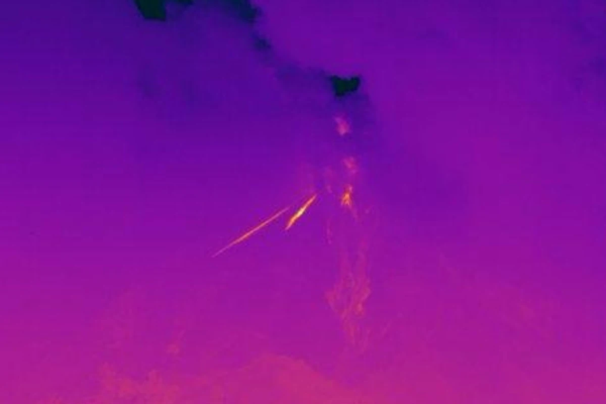
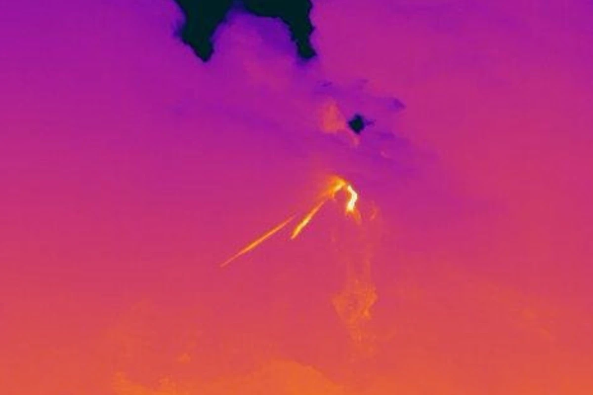
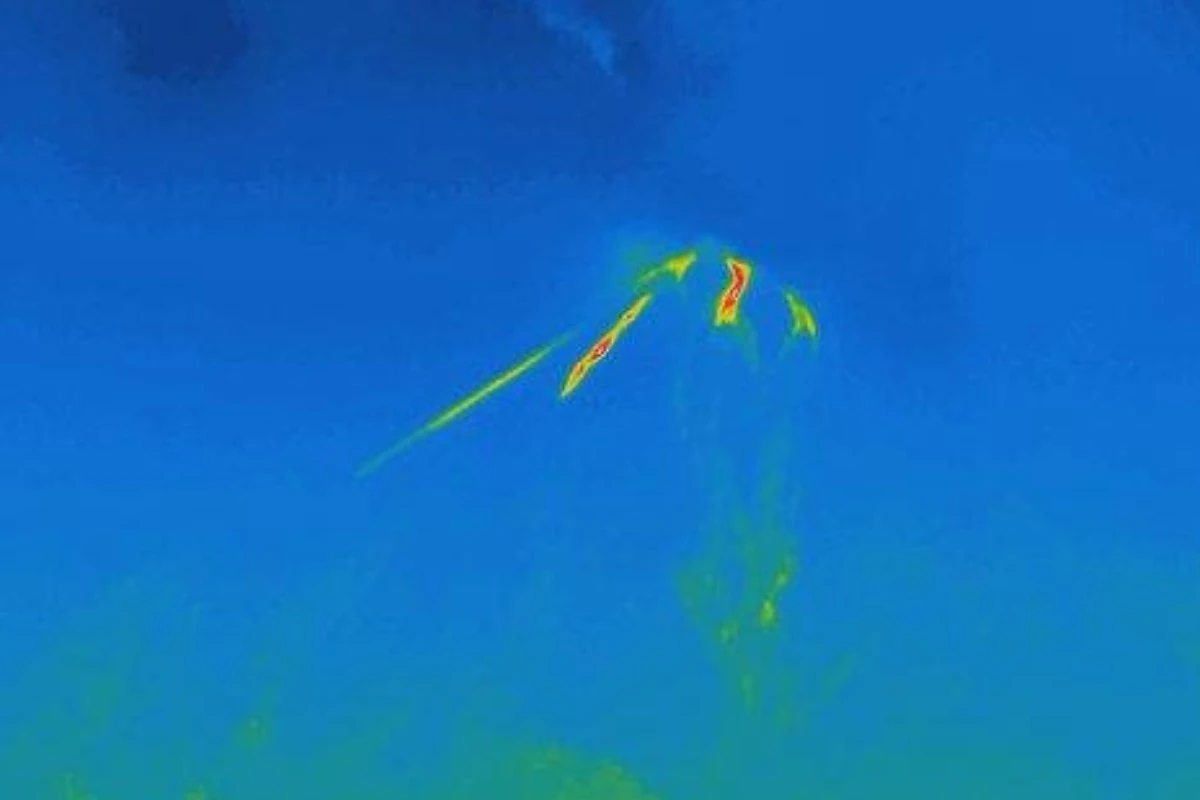
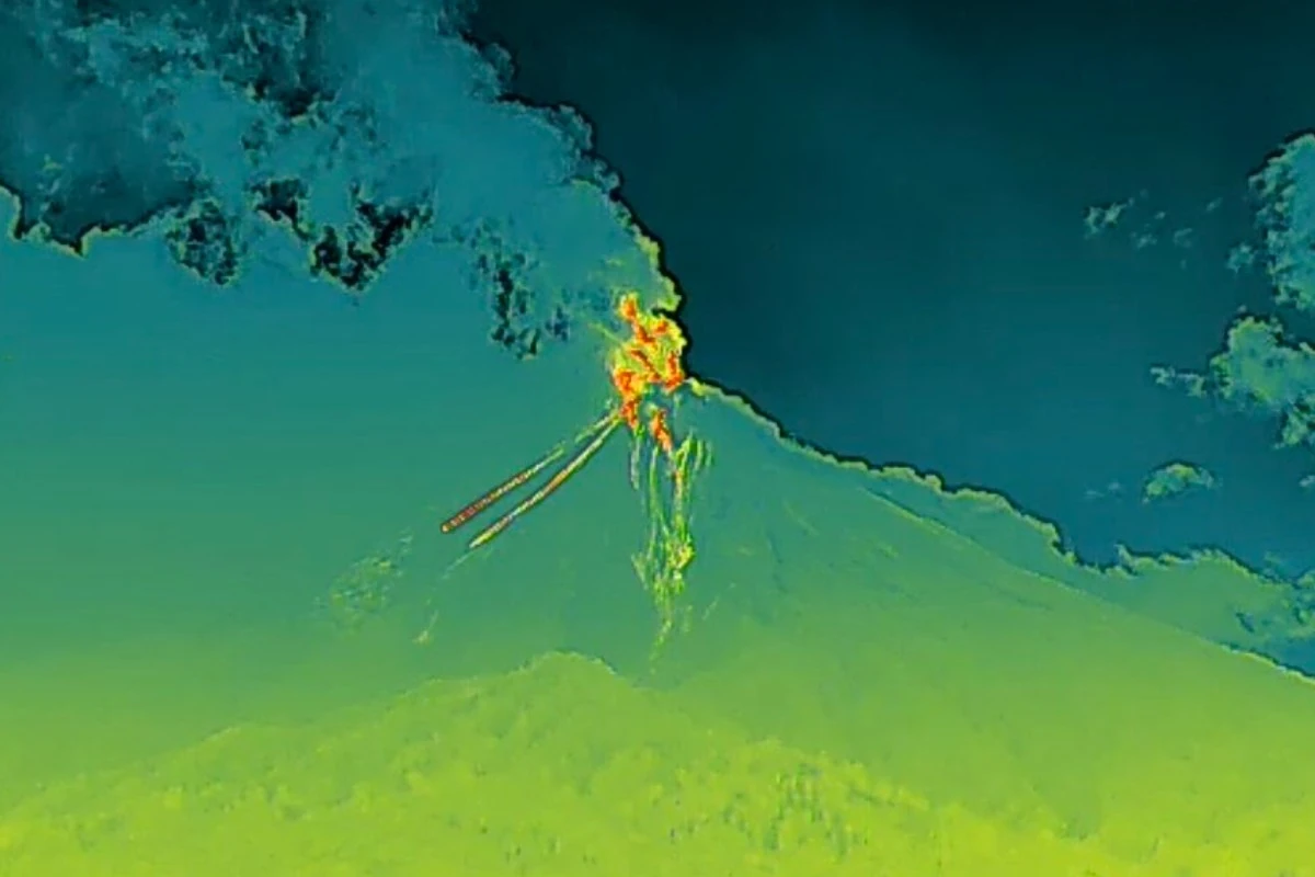
Fuego volcano eruption, Guatemala on August 3, 2026. Credit: CONRED
The eruptive phase began at approximately 08:30 LT (14:30 UTC) on August 3, according to Guatemala’s National Institute of Seismology, Volcanology, Meteorology and Hydrology (INSIVUMEH). Monitoring parameters continued to rise during the following seven hours while the volcano emitted intense gas, ash and lava fragments from the crater.
INIVUMEH identified nine higher-amplitude seismic events by 16:00 LT and multiple pyroclastic density current (PDCs) pulses toward the Seca ravine, where they traveled between 5 and 7 km (3 and 4 miles) along the volcano’s western flank.
“Average seismic amplitude, measured through RSAM, and thermal radiation generated by recent volcanic material suggest that the activity could persist or increase during the following hours,” INSIVUMEH specialists said. “Pyroclastic density currents could also descend into other ravines if the eruption intensifies, especially the Ceniza ravine, which was affected during recent eruptions.”
By 20:00 LT on August 3 (02:00 UTC on August 4), pyroclastic density currents were descending both the Seca and Ceniza ravines on the southwestern flank. The eruption had continued for 11½ hours, and monitored activity was still increasing.
The agency said PDSc represent the greatest threat to populations in communities located between 7 and 10 km (4 and 6 miles) from the crater, especially those in the municipality of San Pedro Yepocapa, Chimaltenango Department.
 Fuego volcano eruption, Guatemala on August 3, 2026. Credit: CONRED
- Fuego volcano eruption, Guatemala on August 3, 2026. Credit: CONRED
- Fuego volcano eruption, Guatemala on August 3, 2026. Credit: CONRED
- Fuego volcano eruption, Guatemala on August 3, 2026. Credit: CONRED
- Fuego volcano eruption, Guatemala on August 3, 2026. Credit: CONRED
- Fuego volcano eruption, Guatemala on August 3, 2026. Credit: CONRED
- Fuego volcano eruption, Guatemala on August 3, 2026. Credit: CONRED
- Fuego volcano eruption, Guatemala on August 3, 2026. Credit: CONRED
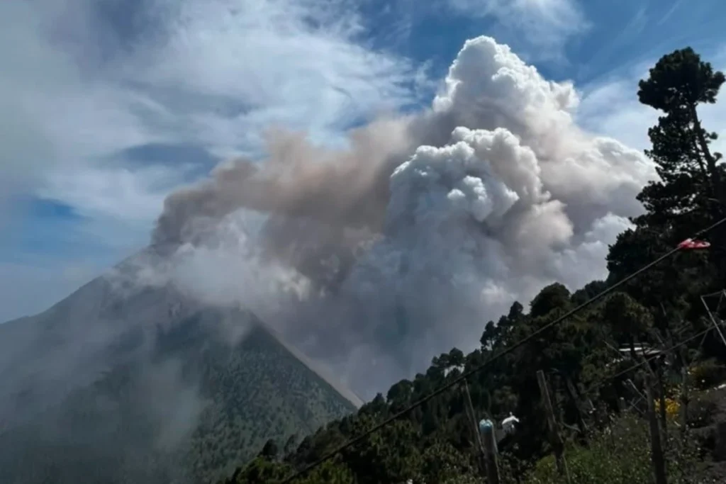
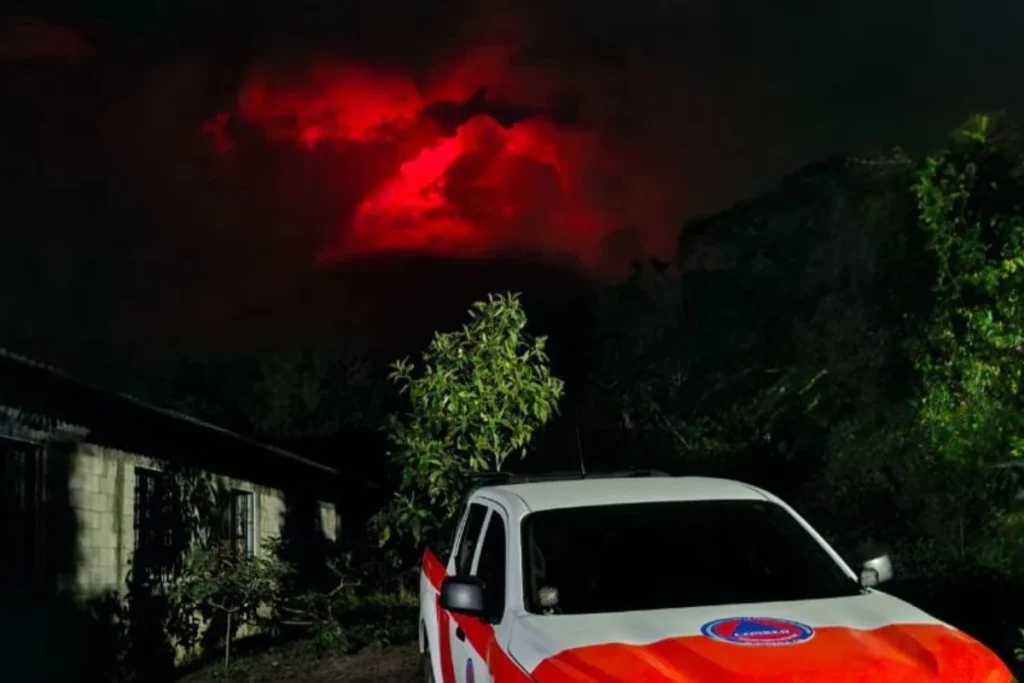
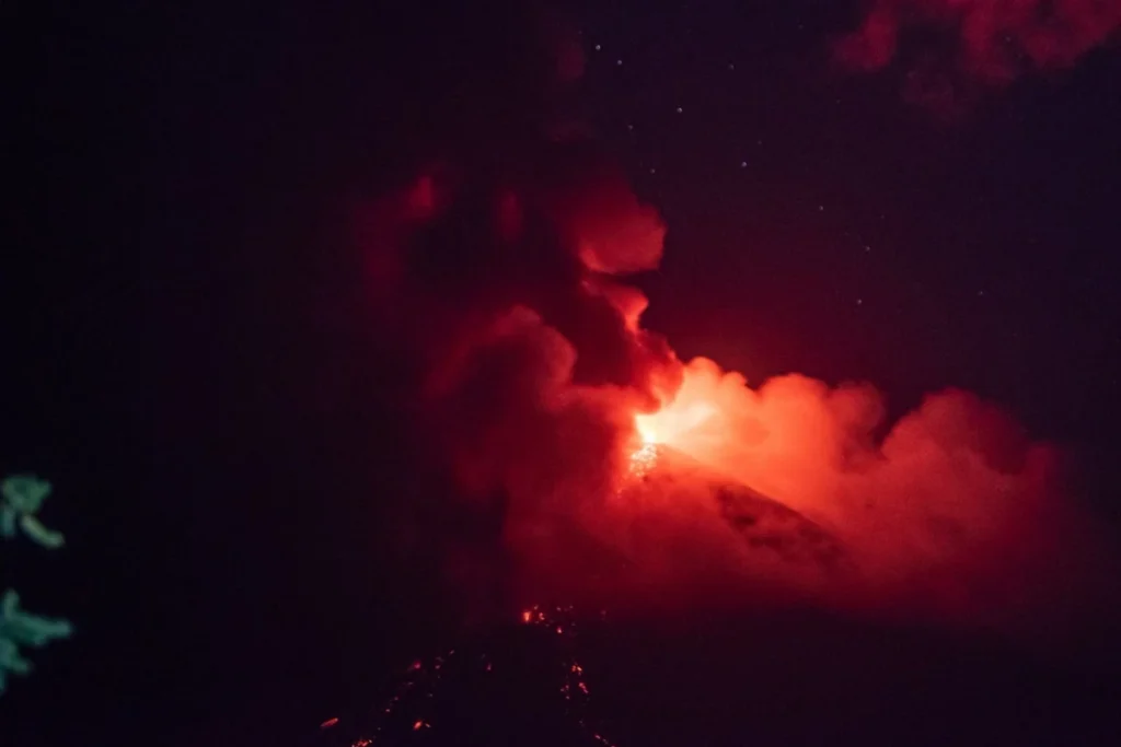
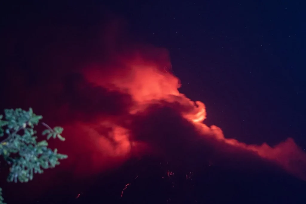
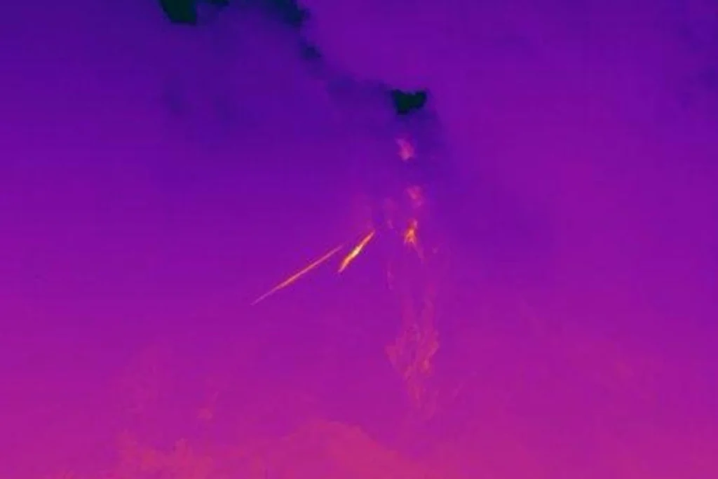
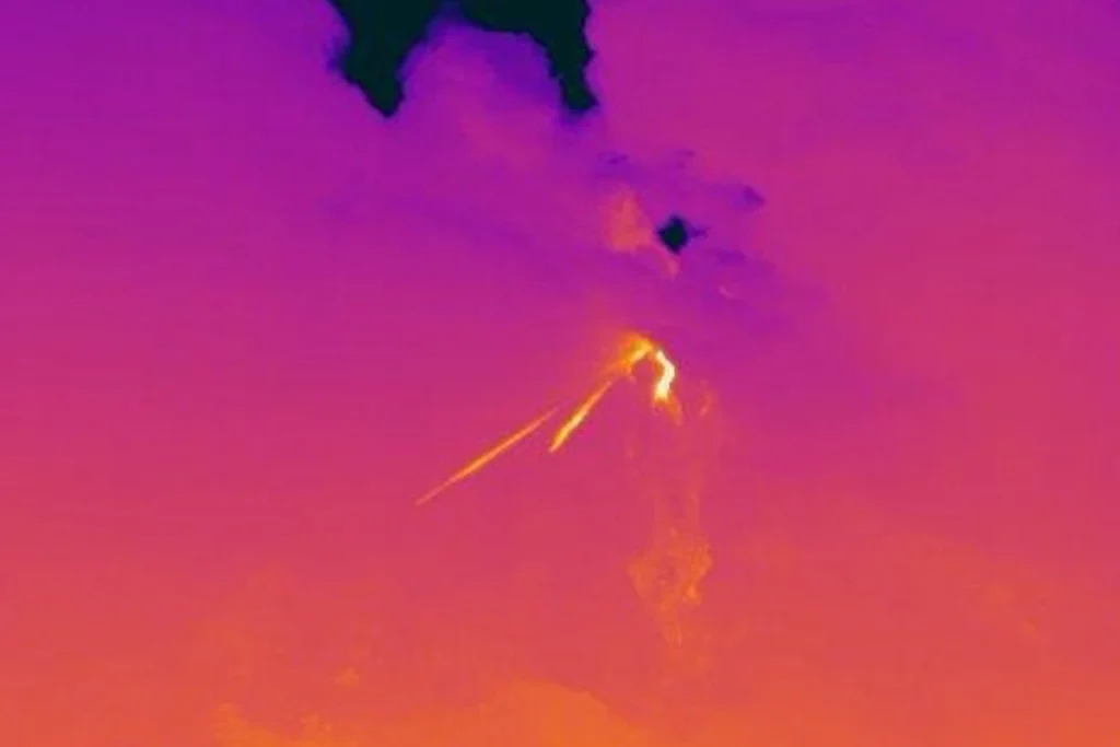
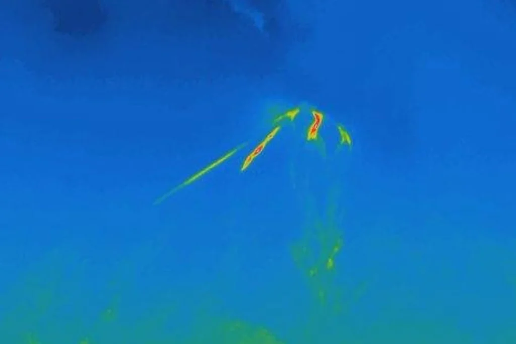
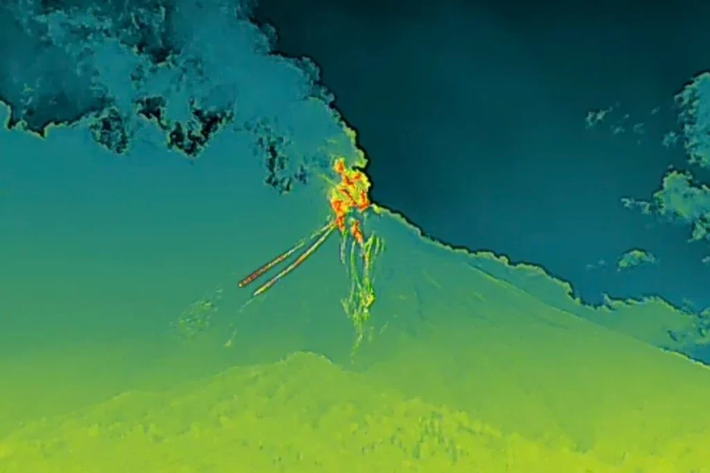
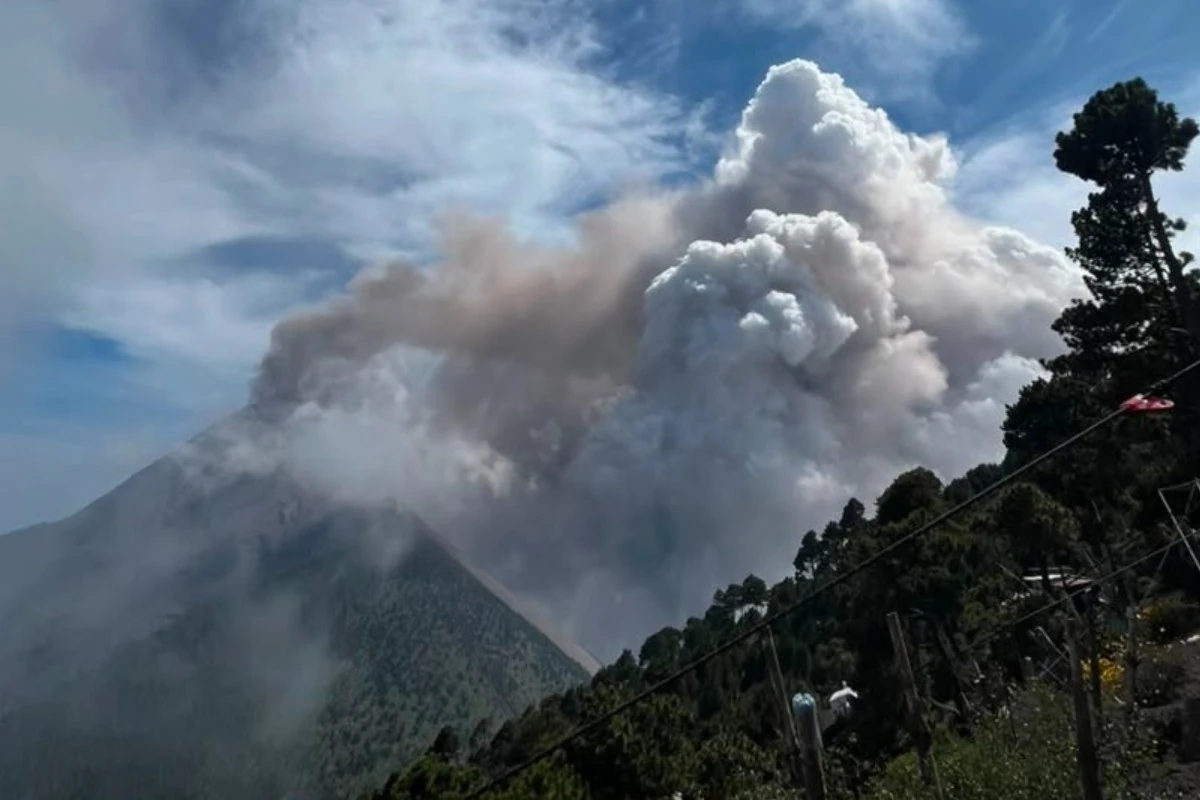
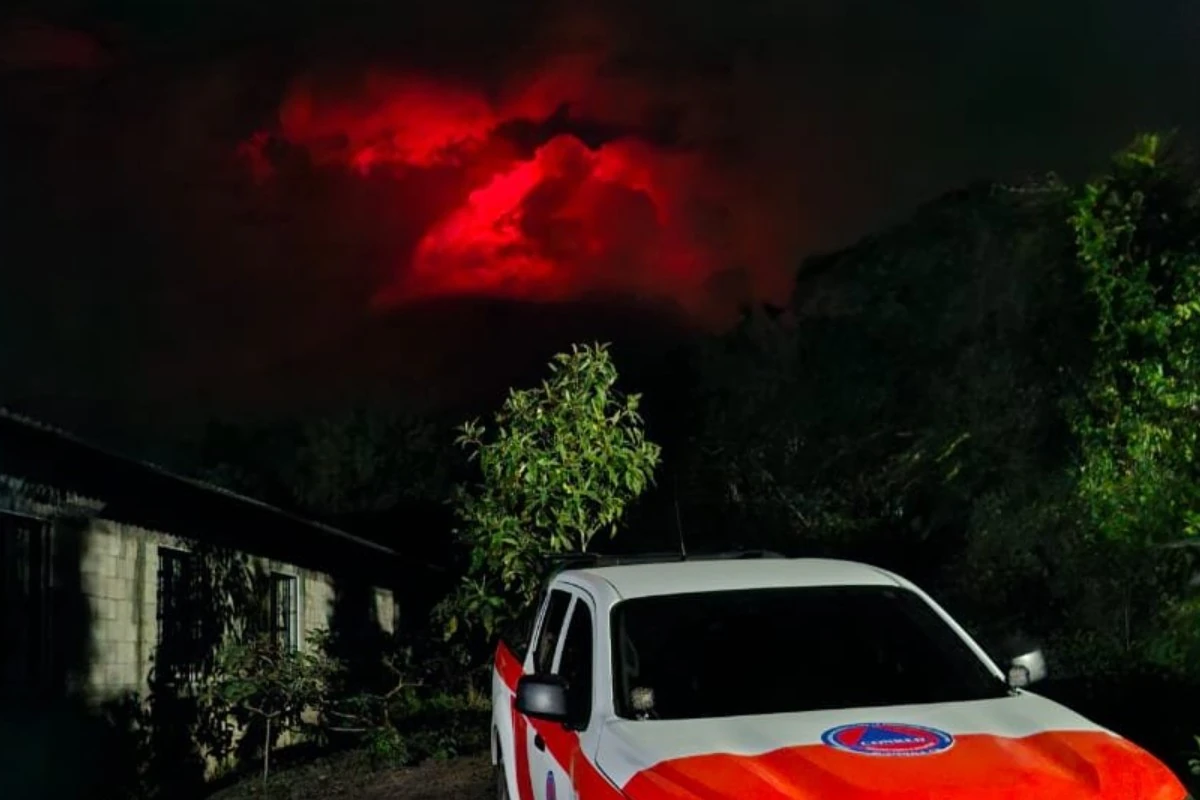
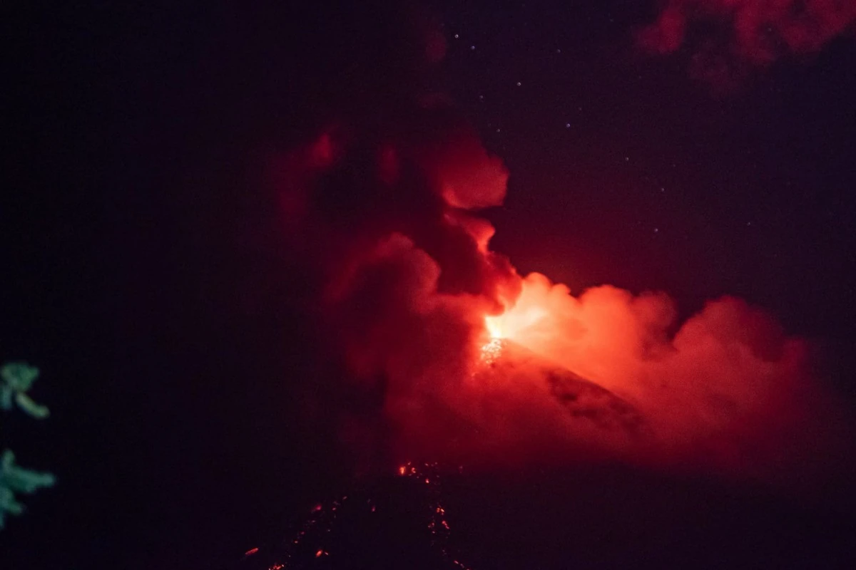
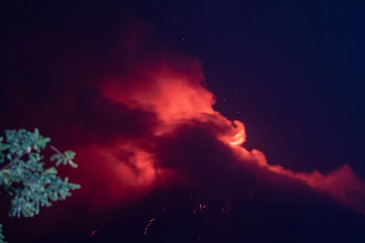
Ash and gas columns reached 5 000 to 6 000 m (16 400 – 19 700 feet) above sea level. Ash initially dispersed more than 40 km (25 miles) west before extending as far as 80 km (50 miles) and reaching the departmental boundary between Suchitepéquez and Retalhuleu. Continued ashfall reports were received from communities in San Pedro Yepocapa.
By 21:15 LT on August 3 (03:15 UTC on August 4), ash was dispersing up to 130 km (80 miles) southwest.
INSIVUMEH advised civil aviation authorities to take precautions between 60 and 100 km (37 and 62 miles) west of Fuego and at altitudes between 4 450 and 6 000 m (14 600 and 19 700 feet). The recommendation was based on the ash-dispersion map published at 14:30 local time on August 3.
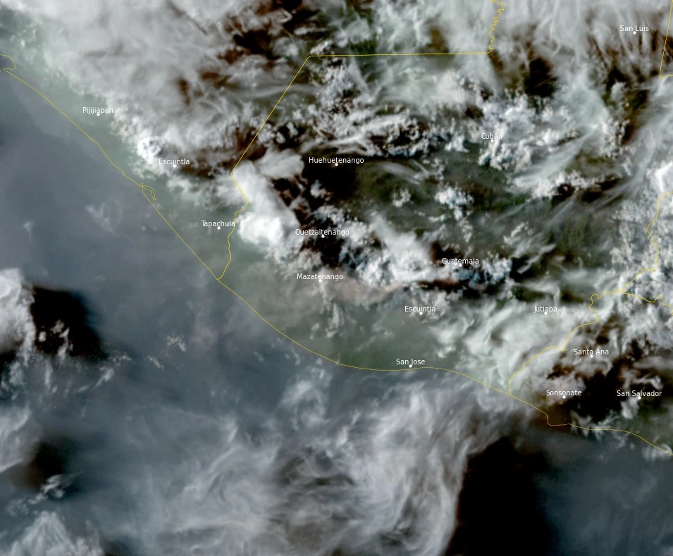
A subsequent INSIVUMEH report said the eruption’s explosiveness had increased and a lava fountain measuring approximately 200 to 300 m (650 to 1 000 feet) had developed above the crater.
AfarTV’s live camera captured the powerful eruption and continuous ejection of incandescent material:
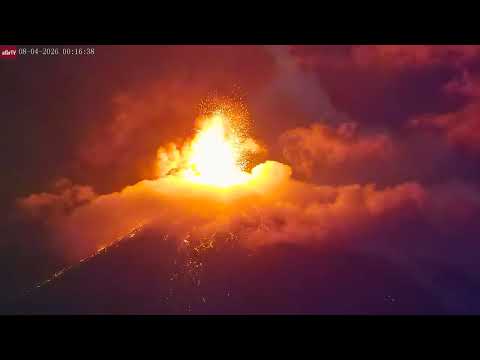
Executive Secretariat of the National Coordinator for Disaster Reduction (SE-CONRED) declared an Institutional Orange Alert in response to the increasing eruptive activity, strengthening coordination and emergency operations around the volcano.
CONRED executive secretary, Claudinne Ogaldes, urged the communities near the volcano, especially in Escuintla, Chimaltenango and Sacatepéquez, to evacuate and follow the instructions of the authorities to safeguard their safety.
Ogaldes reminded the public that the orange alert remains in effect in those departments and that buses have been made available to assist with evacuations.
The Municipality of Escuintla has opened shelters to receive families who need to leave their homes.

Since 01:15 LT (07:15 UTC) on August 4, pyroclastic density currents have been confirmed descending through the Las Lajas and Honda ravines on the southeastern flank, in addition to those recorded in the Seca, Taniluyá and Ceniza ravines.
The currents continue to travel between 5 and 7 km (3.1 and 4.3 miles) toward the base of the volcano and represent the primary threat to nearby communities, CONRED said. The activity remains associated with abundant emissions of gases, ash and lava fragments from the crater.
Under these conditions, the Executive Secretariat of CONRED advised the general population not to approach ravines or remain in hazardous areas. Residents were instructed to cover water and food containers to prevent ash contamination and to wear a mask or use a damp cloth to protect the nose and mouth.
CONRED also recommended keeping a 72-hour emergency backpack ready, reviewing and activating the Family Response Plan, following instructions from local authorities, and remaining informed through official sources. Residents were advised to self-evacuate if necessary and to call the national emergency number 119 in case of any emergency or disaster.
Guatemala’s General Directorate of Road Protection and Safety (PROVIAL) closed RN-14 in both directions between km 83 and km 103, near the entrance to San Juan Alotenango, due to volcanic material descending through the Las Lajas ravine.
The Ministry of Education suspended in-person classes for August 4 in El Porvenir, the municipality of Escuintla and the municipality of Yepocapa, and activated school-risk monitoring in areas exposed to the eruption.
Acatenango Volcano National Park restricted access to Acatenango and Fuego volcanoes until further notice.
Fuego is one of Guatemala’s most active volcanoes and one of three stratovolcanoes overlooking Antigua Guatemala. Historical observations of eruptions date to 1531, and vigorous activity has continued since January 2002.
The October 1974 eruption, a VEI 4 event, was the largest eruption at Fuego since 1932, producing pyroclastic flows that traveled approximately 7 km (4 miles) down the eastern flank. The episode began on October 10 and intensified during several explosive phases later that month.
Fuego’s deadliest recent eruption began on June 3, 2018, when strong explosions generated large pyroclastic density currents in several ravines and caused extensive damage in San Miguel Los Lotes, Alotenango and El Rodeo, leaving at least 169 people dead and 256 missing.
The event was followed by repeated lahars that damaged roads and bridges as rainfall remobilized ash and other volcanic material deposited in the drainage system.

Teo Blašković founded The Watchers in 2011 and edited it until 2026, covering seismic and volcanic activity, extreme weather, space weather and near-Earth objects. Articles on this page are his archive.
Published in the last 24 hours
- Second nationwide US flight halt since 9/11: how the November 13 FAA ground stop compares with September 2001 and January 2023 Epicenter
- FAA grounds all departing flights across the US after communications outage hits air traffic control centers nationwide
- In September 1859, a solar storm lit up the night sky so brightly that gold miners in the Rocky Mountains woke up after midnight and started cooking breakfast, convinced the aurora glowing over their camp was the sunrise Epicenter
- A patch of warm Pacific water that could become the strongest El Niño in more than 70 years sits thousands of miles from any American town, yet it is already the main reason NOAA expects a wetter winter across the South and a milder one across the North
