
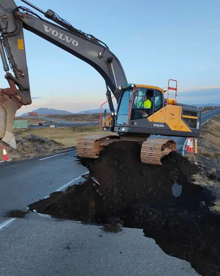
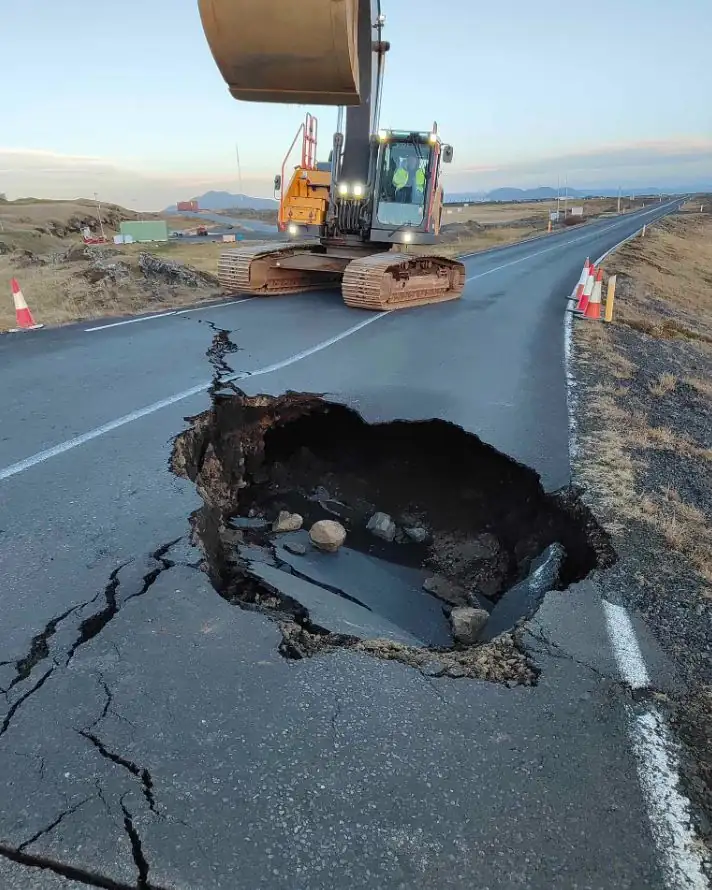
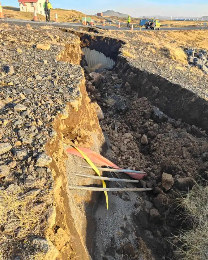
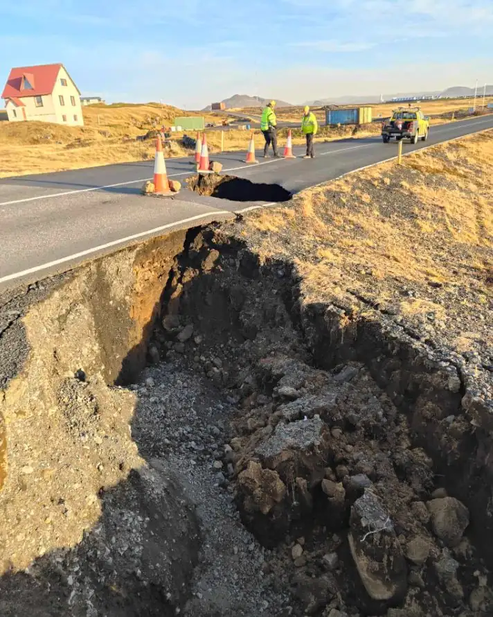
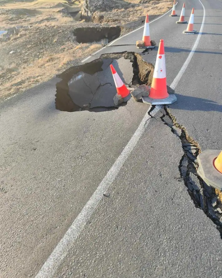
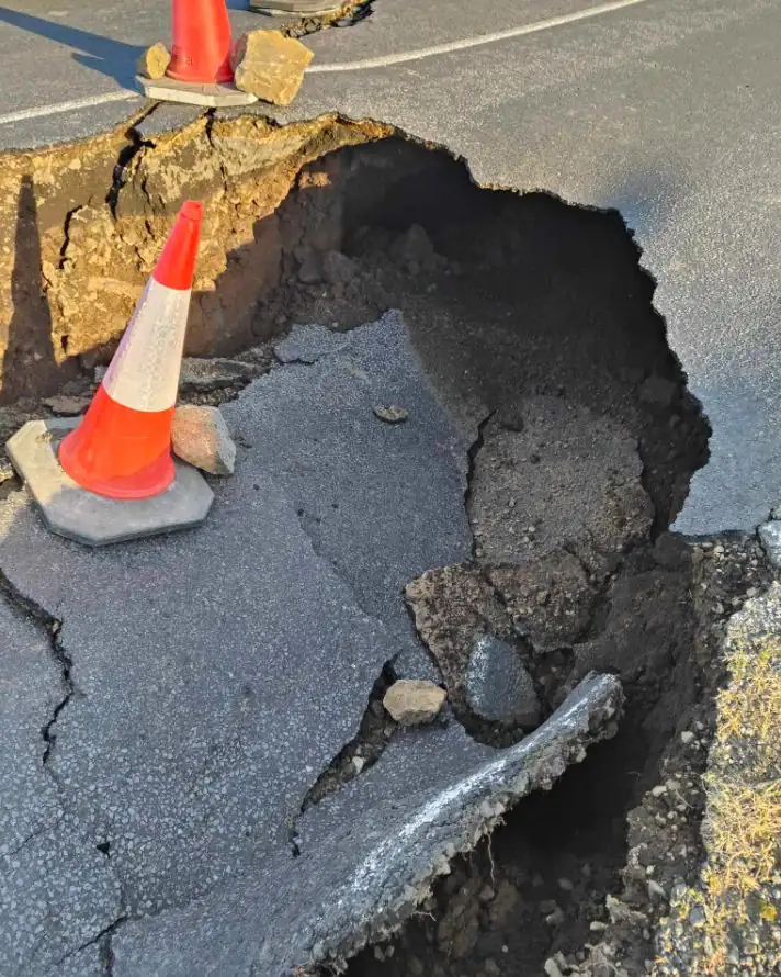
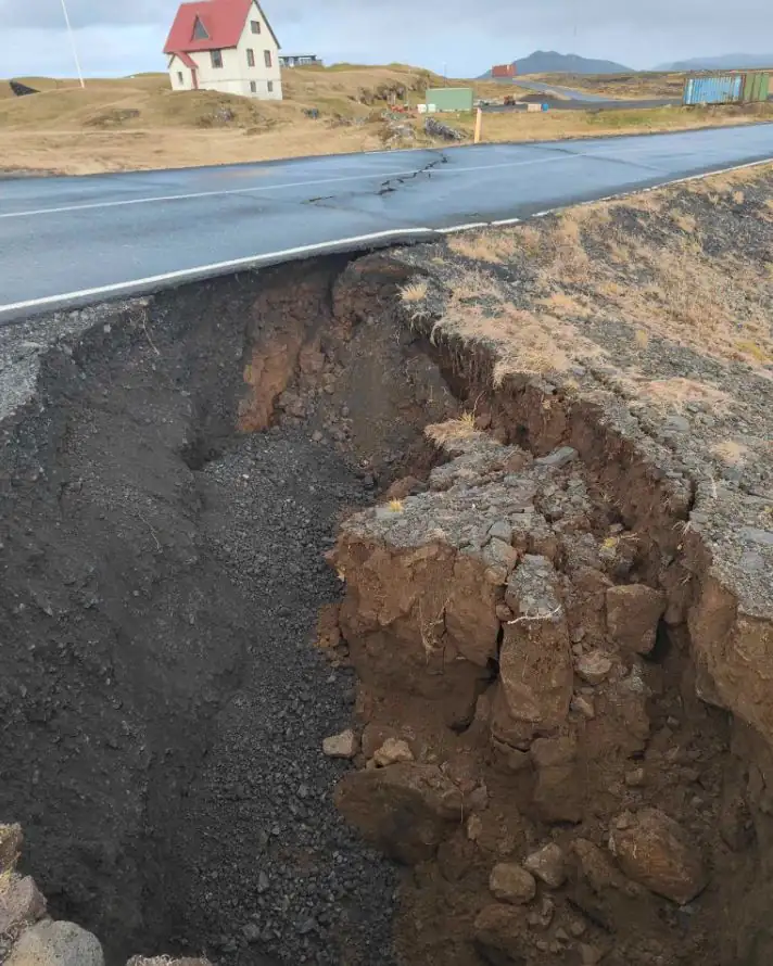
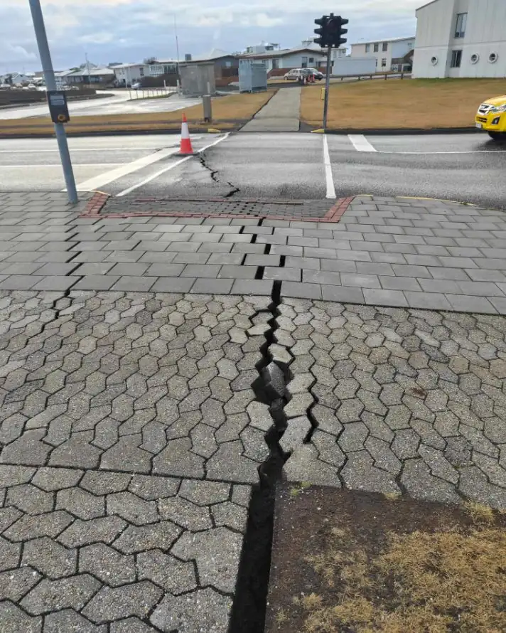
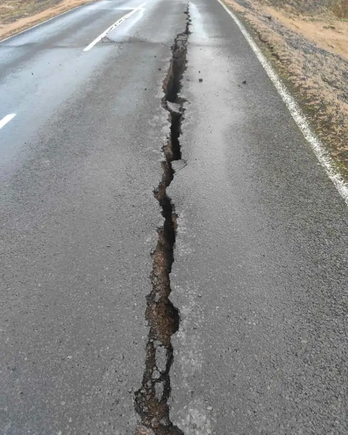
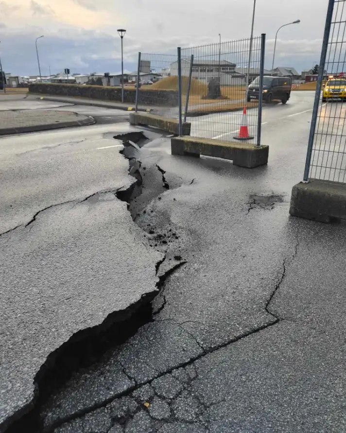
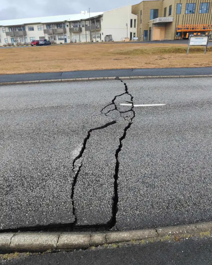
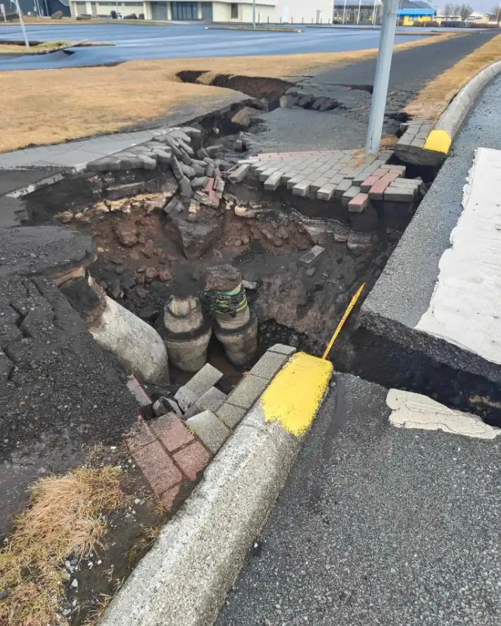
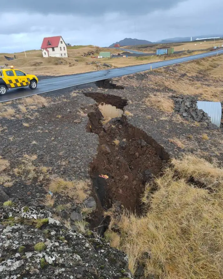
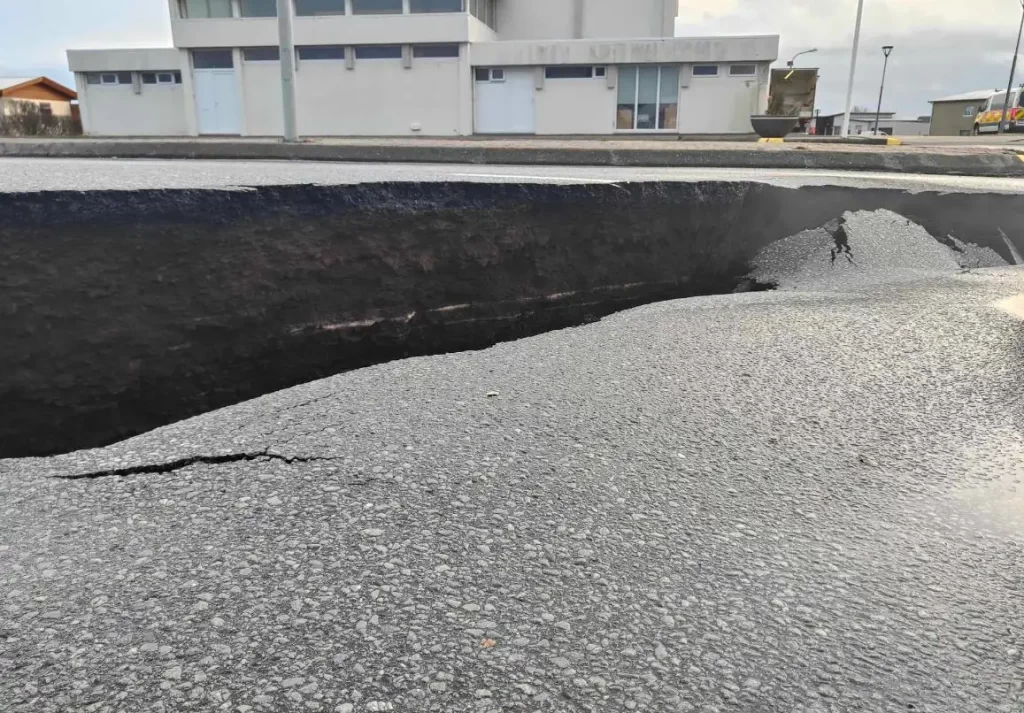
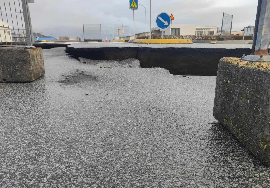
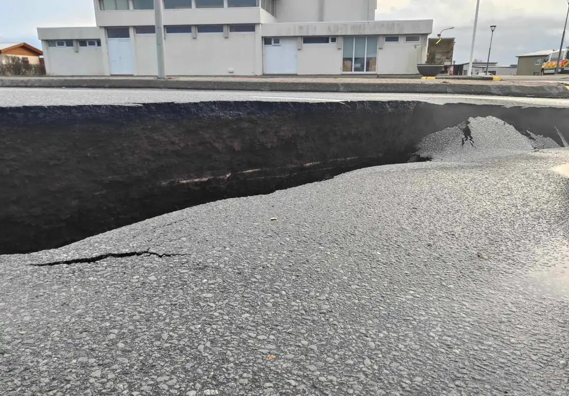
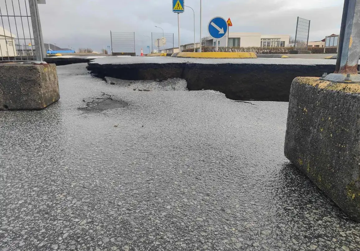
Graben-like formation in Grindavik still forming and mechanically active, Iceland
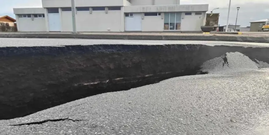
Image credit: Vegagerdin
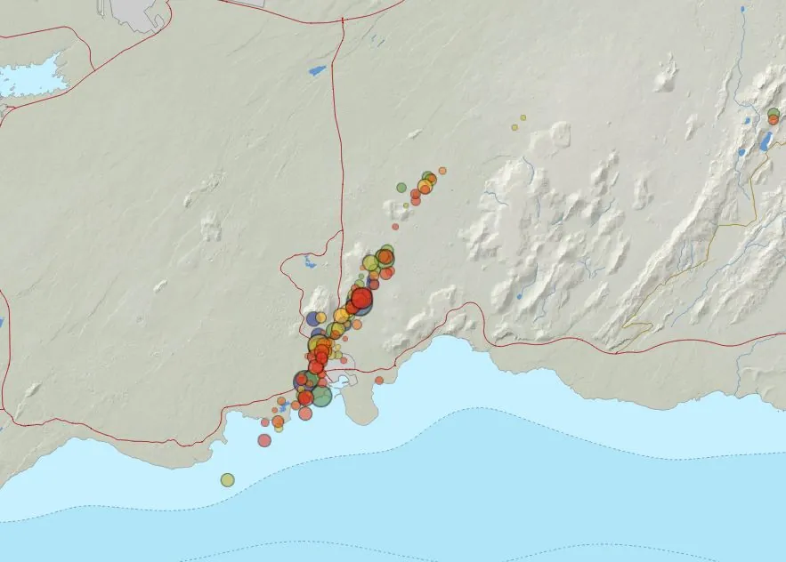
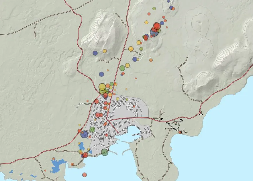
Over 700 earthquakes have been detected along the orientation of a magma intrusion in Iceland during the first 12 hours of November 14, 2023. The latest measurements show that the graben-like formation is still forming and is mechanically active.
- Ongoing deformation measurements and satellite imagery indicate a continuing, albeit reduced, magma inflow into the region.
- The likelihood of an eruption remains high.
The Icelandic Met Office (IMO) has reported over 700 earthquakes along the orientation of magma intrusion from midnight to 12:40 UTC on November 14. The largest of these quakes was registered as M3.1 near Hagafell. It follows a significant seismic event the previous night near Kleifarvatn, where an M3.8 earthquake was recorded at 21:09 UTC.
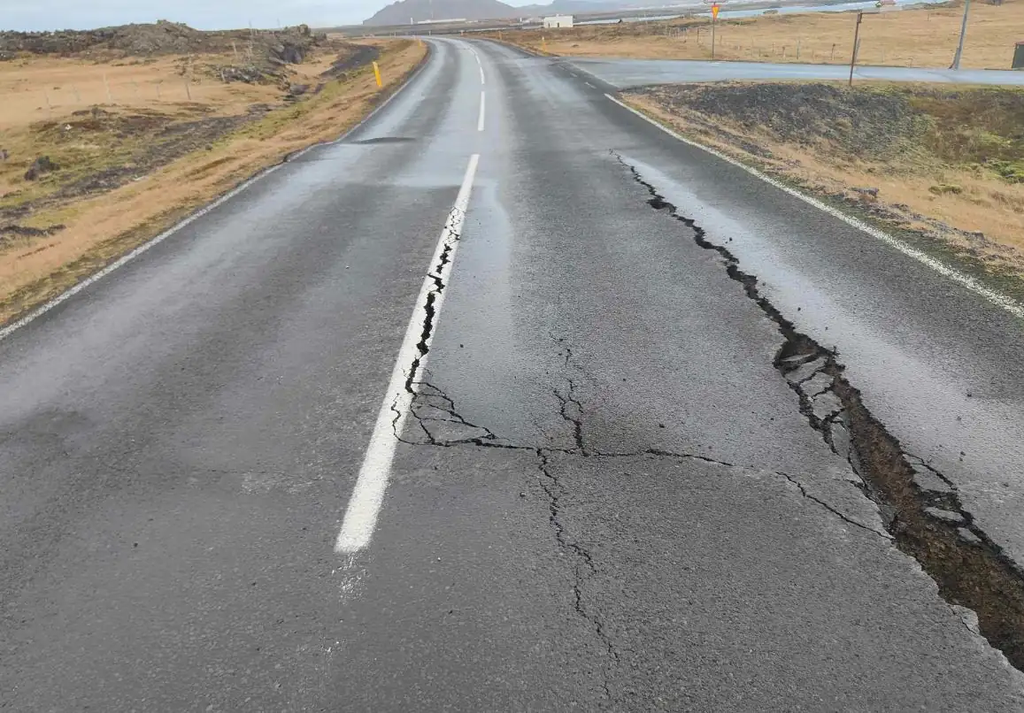
The current seismic pattern is largely concentrated along the magma intrusion, with most earthquakes being micro-earthquakes occurring at depths between 3 to 5 km (1.8 – 3.1 miles). This specific pattern of seismicity, especially the shallow focal depths, suggests ongoing movements of magma beneath the surface.
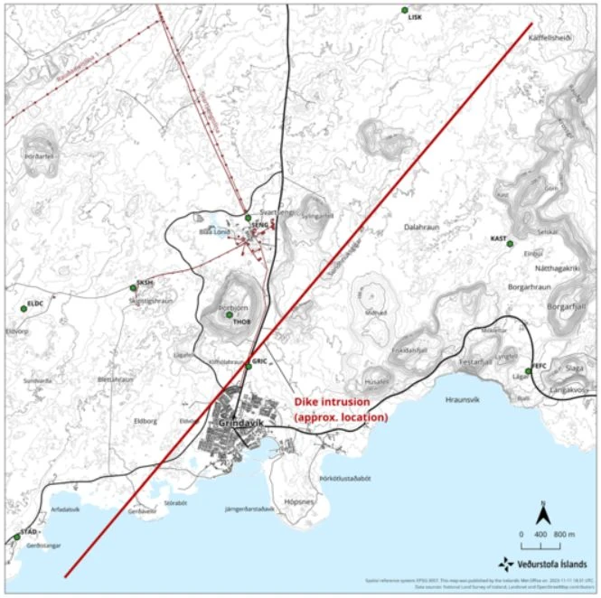
Complementing the seismic data, deformation measurements have been instrumental in understanding the ongoing geological events. High-resolution aerial observations, satellite radar imagery, and ground-based GPS observations all reveal continued ground movements consistent with the formation of the magma intrusion. These measurements are crucial for predicting potential volcanic activity and assessing the risk it poses to nearby areas.
Between November 12 and 13, the magma inflow rate to the intrusion was estimated at 75 m3 (2 560 ft3) per second, and the intrusion is thought to be at an average depth of around 800 m (2 620 feet). These estimations, derived from model-based calculations, carry a degree of uncertainty but are vital in understanding the scale and potential impact of the unfolding geological event.
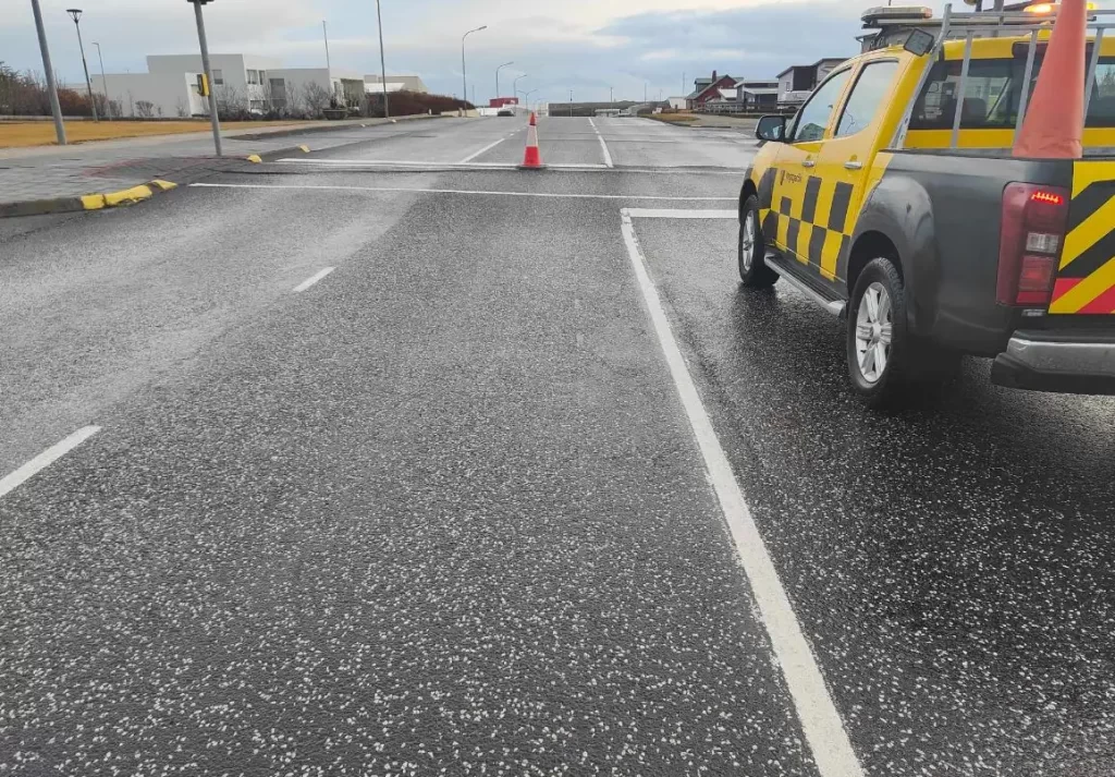
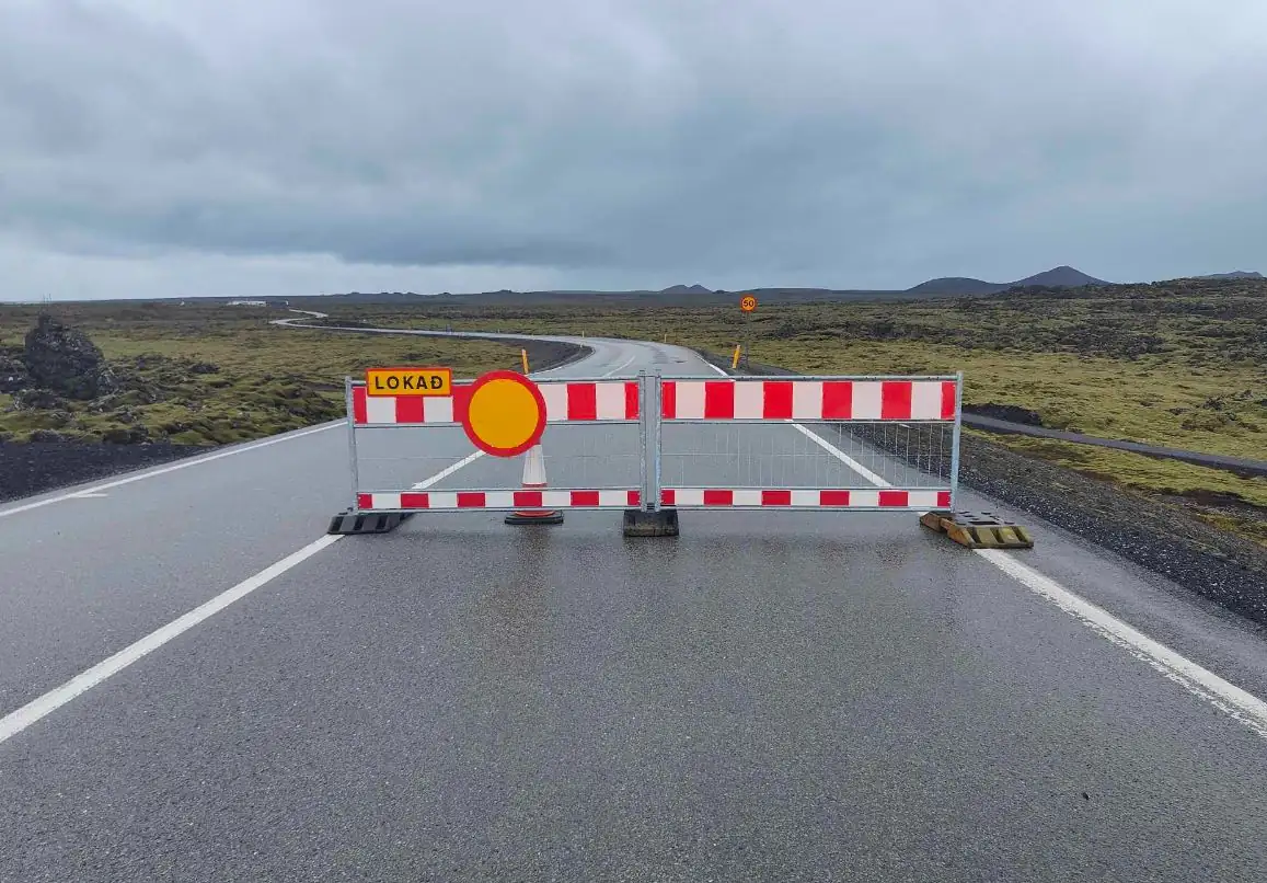
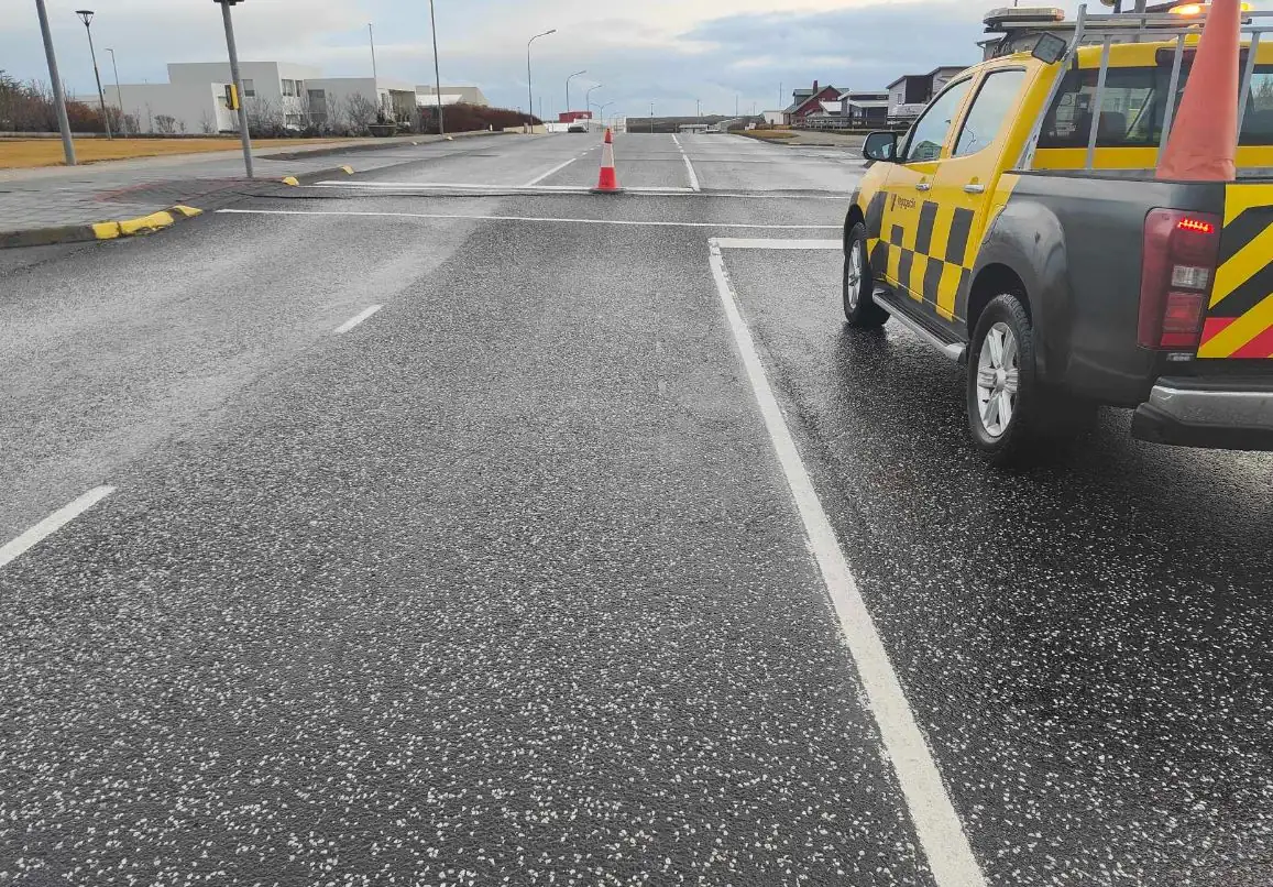
In response to this ongoing volcanic unrest, the focus has been on continuous monitoring of seismicity and ground deformation in the Grindavík – Svartsengi region.
To enhance monitoring capabilities, additional GPS stations have been installed in and around Grindavík as well as ground-based SO2 detectors, overlooking Grindavík and south of Sundhnúkur.
These stations have provided valuable data, showing that the graben-like formation is still forming and mechanically active.
The formation has resulted in significant damage in parts of the town of Grindavik, evacuated on Friday, November 10.


Based on the current observations and data, the likelihood of an eruption remains high, IMO said. If an eruption occurs, it is most likely to happen along the magma intrusion. The latest hazard assessments do not indicate any other potential eruption sites.
The focus remains on ensuring public safety and readiness to respond effectively should an eruption occur.
References:
1 The newly activated graben at Grindavík remains active – IMO – November 14, 2023
I'm a dedicated researcher, journalist, and editor at The Watchers. With over 20 years of experience in the media industry, I specialize in hard science news, focusing on extreme weather, seismic and volcanic activity, space weather, and astronomy, including near-Earth objects and planetary defense strategies. You can reach me at teo /at/ watchers.news.
Commenting rules and guidelines
We value the thoughts and opinions of our readers and welcome healthy discussions on our website. In order to maintain a respectful and positive community, we ask that all commenters follow these rules.