
Very strong M7.5 earthquake hits South Sandwich Islands region
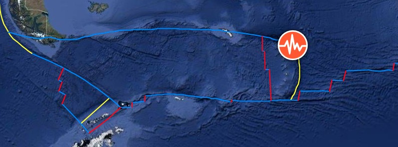
Image credit: TW/SAM, Google
A very strong earthquake registered by the USGS as M7.5 hit South Sandwich Islands region at 18:32 UTC on August 12, 2021. The agency is reporting a depth of 63.3 km (39.3 miles). EMSC is reporting the same magnitude and depth. Numerous moderate to very strong aftershocks were reported.
The epicenter was located 2 450 km (1 520 miles) SSW of Edinburgh of the Seven Seas, Tristan da Cunha, Saint Helena, and 2 620 km (1 630 miles) ENE of Ushuaia, Tierra del Fuego, Argentina.
There are no people living within 100 km (62 miles).
Earthquakes of this size are known to generate tsunamis dangerous to shorelines near the source, NWS NTWC said.
The tsunami threat to the Caribbean region is still under investigation. Consider and prepare for the possibility of a tsunami threat, PTWC said at 18:44 UTC. There is no tsunami threat to the Caribbean region from this earthquake, the center said at 19:19 UTC.
Seismic observations suggest this is a complex earthquake, USGS said.
"There are indications in the seismograms of a secondary larger event occurring approximately 3 minutes after the initial M7.5. Other observations point to a larger event including a more productive and distributed aftershock sequence than would be expected for a M7.5 earthquake.
"USGS is investigating the timing, size, and source properties of both events, and will update information once more definitive solutions are identified.
"This analysis will require detailed modeling, and could take several days to complete."
UPDATE: The current interpretation is that this earthquake is a foreshock to a M8.1 that occurred ~170s later. (The Watchers)
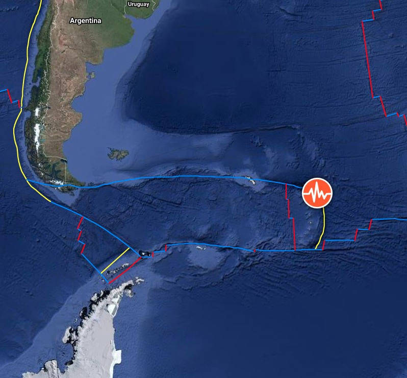
Image credit: TW/SAM, Google
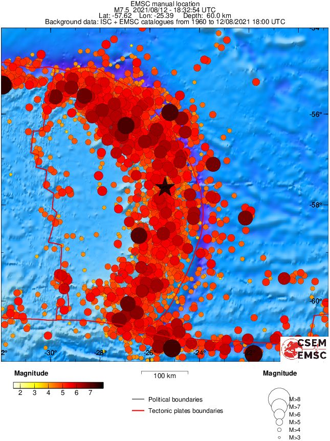
Over the previous century, seven other M7+ earthquakes occurred within 250 km (155 miles) of the August 2021 earthquake, according to the USGS. The largest of these earthquakes was an M7.8 in May 1964.
M7+ earthquakes in the South Sandwich Island region historically have occurred at intermediate-depths (broadly defined as 70 – 300 km / 45 – 185 miles depth).
The largest earthquake in the region was an M8.1 earthquake on June 27, 1929 and was located ~360 km (220 miles) northwest of the of August 2021 earthquake along the northern boundary of the Scotia plate with the South America plate.
None of these earthquakes are known to have caused fatalities, likely because of their remote location far from population centers that might be vulnerable to earthquake shaking, as well as their intermediate depths which are not normally conducive to the generation of tsunamis.
Regional seismicity
I'm a dedicated researcher, journalist, and editor at The Watchers. With over 20 years of experience in the media industry, I specialize in hard science news, focusing on extreme weather, seismic and volcanic activity, space weather, and astronomy, including near-Earth objects and planetary defense strategies. You can reach me at teo /at/ watchers.news.
Commenting rules and guidelines
We value the thoughts and opinions of our readers and welcome healthy discussions on our website. In order to maintain a respectful and positive community, we ask that all commenters follow these rules.