
Eruption at Mount Michael, Saunders Island, Antarctica
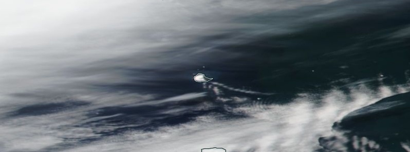
Featured image: Ash rising over Michael Volcano, Saunders Island, Antarctica on January 22, 2019. Credit: NASA/NOAA Suomi NPP/VIIRS
A new volcanic ash emission was observed at Michael volcano, Saunders Island, Antarctica on January 22, 2019.
Volcanic ash plume moving southeast is identifiable from visible imagery under the partially covered sky, the Buenos Aires VAAC reported 15:49 UTC.
Ash cloud top was estimated at a height of about 2.1 km (7 000 feet) above sea level.
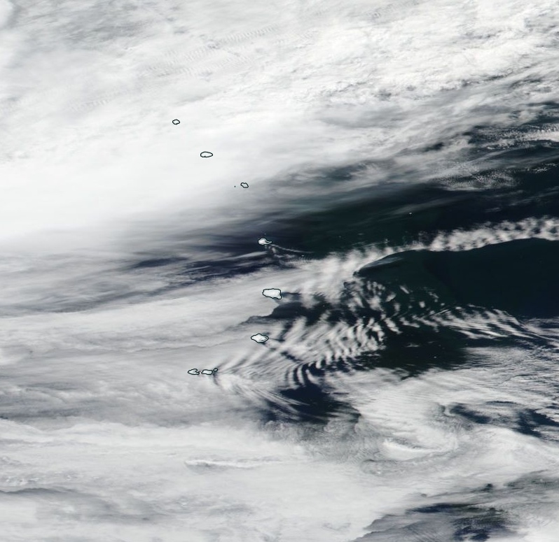
Image courtesy NASA/NOAA Suomi NPP/VIIRS. Acquired January 22, 2019
Activity at the volcano was observed during 2018 and into 2019 when January 1, 2019 satellite image showed what appears to be slight ash deposits on the east-southeast flank of the volcano, the South Sandwich Islands Volcano Monitoring Blog reported.
A false-color image taken on the same day shows a thermal anomaly in the main summit crater.
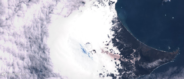
Natural color image showing slight ashfall on the ENE flank on January 1, 2019. Credit: Sentinel-2/Sentinel Hub.
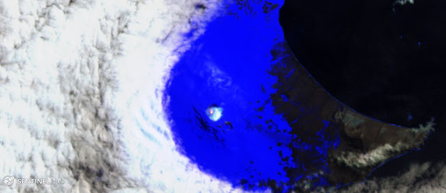
False color image shows a thermal anomaly inside the summit crater on January 1, 2019. Credit: Sentinel-2/Sentinel Hub.
Geological summary
Saunders Island is a volcanic structure consisting of a large central edifice intersected by two seamount chains, as shown by bathymetric mapping (Leat et al., 2013).
The young constructional Mount Michael stratovolcano dominates the glacier-covered island, while two submarine plateaus, Harpers Bank and Saunders Bank, extend north. The symmetrical Michael has a 500-m-wide (1 640 feet) summit crater and a remnant of a somma rim to the SE. Tephra layers visible in ice cliffs surrounding the island are evidence of recent eruptions.
Ash clouds were reported from the summit crater in 1819, and an effusive eruption was inferred to have occurred from a N-flank fissure around the end of the 19th century and beginning of the 20th century. A low ice-free lava platform, Blackstone Plain, is located on the north coast, surrounding a group of former sea stacks.
A cluster of parasitic cones on the SE flank, the Ashen Hills, appear to have been modified since 1820 (LeMasurier and Thomson, 1990). Vapor emission is frequently reported from the summit crater. Recent AVHRR and MODIS satellite imagery has revealed evidence for lava lake activity in the summit crater. (GVP)
I'm a dedicated researcher, journalist, and editor at The Watchers. With over 20 years of experience in the media industry, I specialize in hard science news, focusing on extreme weather, seismic and volcanic activity, space weather, and astronomy, including near-Earth objects and planetary defense strategies. You can reach me at teo /at/ watchers.news.
Commenting rules and guidelines
We value the thoughts and opinions of our readers and welcome healthy discussions on our website. In order to maintain a respectful and positive community, we ask that all commenters follow these rules.