Deep M6.2 earthquake under North Island, New Zealand
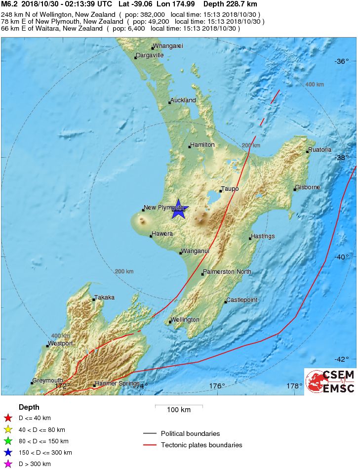
A strong earthquake registered by New Zealand's GeoNet as M6.2 hit North Island at 02:13 UTC (15:13 NZST) on October 30, 2018. The agency is reporting a depth of 207 km (128 miles). USGS is reporting M6.1 at a depth of 227 km (141 miles). EMSC is reporting M6.2 at a depth of 229 km (142 miles).
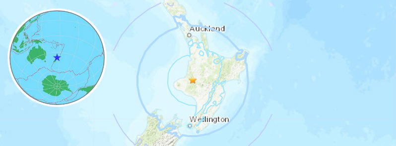
The epicenter was located 64 km (40 miles) E of Waitara (population 6 318), 77 km (48 miles) E of New Plymouth (population 49 168), 84 km (52 miles) NE of Hawera (population 11 068) and 98 km (61 miles) N of Wanganui (population 40 268), New Zealand.
There are 190 000 people living within 100 km (62 miles).
Some 78 000 people are estimated to have felt light shaking and 3 523 000 light.
The USGS issued a green alert for shaking-related fatalities and economic losses. There is a low likelihood of casualties and damage.
Overall, the population in this region resides in structures that are highly resistant to earthquake shaking, though some vulnerable structures exist. The predominant vulnerable building types are reinforced masonry and unreinforced brick with timber floor construction.
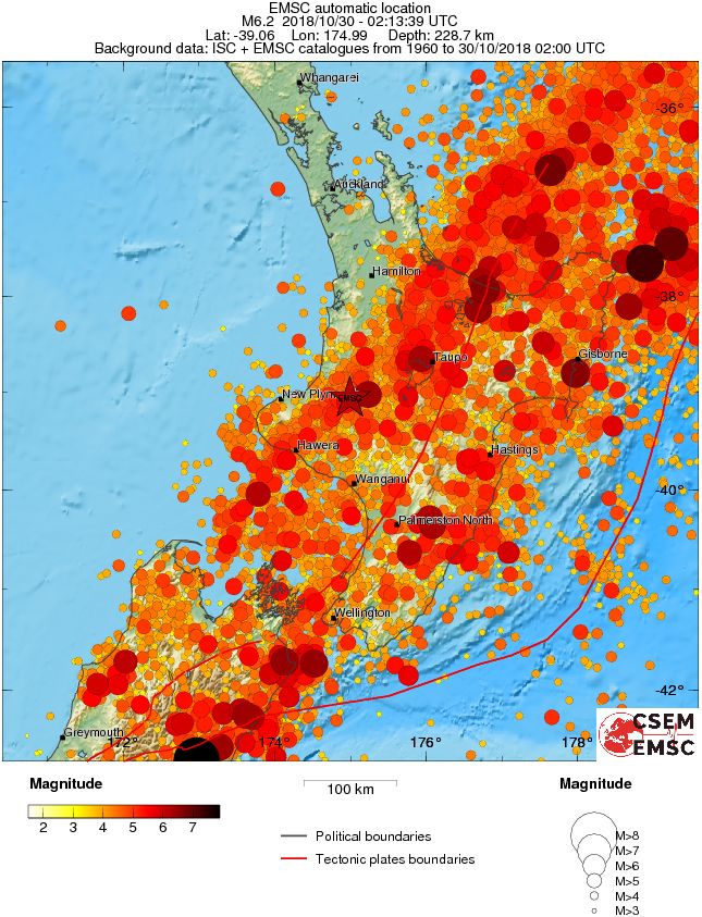
Recent earthquakes in this area have caused secondary hazards such as landslides that might have contributed to losses.
Regional seismicity
Featured image credit: USGS, EMSC
Commenting rules and guidelines
We value the thoughts and opinions of our readers and welcome healthy discussions on our website. In order to maintain a respectful and positive community, we ask that all commenters follow these rules.