Historic February snowstorm hits British Columbia, Canada

Parts of Canada's British Columbia have experienced heavy snow over the weekend and into Monday, February 6, 2017. Some communities received their entire yearly snowfall average in only 72 hours. The next storm will start affecting the region by Wednesday afternoon.
Around 43 cm (1.4 feet) of snow fell in Powell River from Friday into Sunday. During the same period, Chilliwack recorded 77 cm (2.5 feet), its yearly average.
The community of Sparwood in the Elk Valley received some 60 cm (1.9 feet) of snow in only nine hours, The Weather Network reported. Sparwood's previous record was 18.3 cm (7.2 inches).
The snowstorm has left more than 120 000 B.C. Hydro customers without power at the peak, shut down several school districts and closed parts of Highway 3 and 31.
Avalanche Canada has issued an extreme danger rating for the South Rockies. On Monday, the danger rating for the Kootenays and Columbias remained at considerable and high.
Snow continued falling into Tuesday, February 7.
Meteorologists warn another system will start affecting the region Wednesday afternoon, and 'could make for a complicated situation, as it coincides with a return to more seasonal temperatures.'
This next storm could produce flooding in and around metro Vancouver.
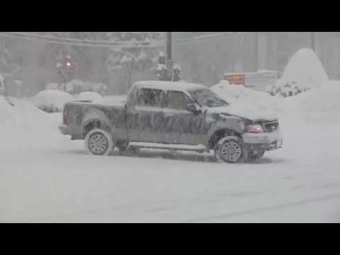
Featured image: Historic February snowstorm hits parts of British Columbia, Canada – February 6, 2017. Credit: The Weather Network.
People better be repenting !!!