
Martian soil similar to weathered basaltic soils of volcanic origin in Hawaii
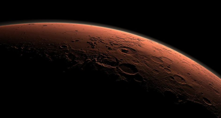
Featured image: This computer-generated view depicts part of Mars at the boundary between darkness and daylight, with an area including Gale Crater beginning to catch morning light. Credit: NASA/JPL-Caltech
Mars rover Curiosity has completed the first-ever detailed X-ray analysis of Martian sand showing the mineralogy of Martian soil is similar to weathered basaltic soils of volcanic origin in Hawaii.
Curiosity used its Chemistry and Mineralogy instrument (CheMin) to obtain the results, which are filling gaps and adding confidence to earlier estimates of the mineralogical makeup of the dust and fine soil widespread on the Red Planet.

The specific sample for CheMin’s first analysis was soil Curiosity scooped up at a patch of dust and sand that the team named Rocknest. The sample was processed through a sieve to exclude particles larger than 0.006 inch (150 micrometers), roughly the width of a human hair. The sample has at least two components: dust distributed globally in dust storms and fine sand originating more locally. Unlike conglomerate rocks Curiosity investigated a few weeks ago, which are several billion years old and indicative of flowing water, the soil material CheMin has analyzed is more representative of modern processes on Mars.
“We had many previous inferences and discussions about the mineralogy of Martian soil,” said David Blake of NASA Ames Research Center in Moffett Field, Calif., who is the principal investigator for CheMin. “Our quantitative results provide refined and in some cases new identifications of the minerals in this first X-ray diffraction analysis on Mars.”
“Much of Mars is covered with dust, and we had an incomplete understanding of its mineralogy,” said David Bish, CheMin co-investigator with Indiana University in Bloomington. “We now know it is mineralogically similar to basaltic material, with significant amounts of feldspar, pyroxene and olivine, which was not unexpected. Roughly half the soil is non-crystalline material, such as volcanic glass or products from weathering of the glass.”
Bish said, “So far, the materials Curiosity has analyzed are consistent with our initial ideas of the deposits in Gale Crater recording a transition through time from a wet to dry environment. The ancient rocks, such as the conglomerates, suggest flowing water, while the minerals in the younger soil are consistent with limited interaction with water.”
The identification of minerals in rocks and soil is crucial for the mission’s goal to assess past environmental conditions. Each mineral records the conditions under which it formed. The chemical composition of a rock provides only ambiguous mineralogical information, as in the textbook example of the minerals diamond and graphite, which have the same chemical composition, but strikingly different structures and properties.
CheMin uses X-ray diffraction, the standard practice for geologists on Earth using much larger laboratory instruments. This method provides more accurate identifications of minerals than any method previously used on Mars. X-ray diffraction reads minerals’ internal structure by recording how their crystals distinctively interact with X-rays.

During the two-year prime mission of the Mars Science Laboratory Project, researchers are using Curiosity’s 10 instruments to investigate whether areas in Gale Crater ever offered environmental conditions favorable for microbial life.
For more information about Curiosity and its mission, visit: nasa.gov/msl
Source: NASA
Gale Crater looms in the distance, distinguished from adjacent craters by its central mountain of strata. Gale Crater straddles the dichotomy boundary of Mars, which separates the broad, flat, and young northern plains from the much older and rougher southern highlands. There is evidence that water may have flowed across this topographic boundary, from highland to lowland, perhaps pooling locally within Gale Crater and forming the lowermost strata that fill the crater.
Northward is to the left. Gale is the crater with a mound inside it near the center of the image. NASA has selected Gale as the landing site for the Mars Science Laboratory mission. The mission’s rover will be placed on the ground in a northern portion of Gale Crater in August 2012.
Gale Crater is 96 miles (154 kilometers) in diameter and holds a layered mountain rising about 3 miles (5 kilometers) above the crater floor. The intended landing site is at 4.5 degrees south latitude, 137.4 degrees east longitude.
This view was created using three-dimensional information from the Mars Orbiter Laser Altimeter, which flew on NASA’s Mars Global Surveyor orbiter. The vertical dimension is not exaggerated. Color information is based on general Mars color characteristics.
The Mars Orbiter Laser Altimeter was operated by NASA Goddard Space Flight Center, Greenbelt, Md. NASA’s Jet Propulsion Laboratory, a division of the California Institute of Technology in Pasadena, managed the Mars Global Surveyor and now manages the Mars Science Laboratory for NASA’s Science Mission Directorate in Washington.
I'm a dedicated researcher, journalist, and editor at The Watchers. With over 20 years of experience in the media industry, I specialize in hard science news, focusing on extreme weather, seismic and volcanic activity, space weather, and astronomy, including near-Earth objects and planetary defense strategies. You can reach me at teo /at/ watchers.news.
Commenting rules and guidelines
We value the thoughts and opinions of our readers and welcome healthy discussions on our website. In order to maintain a respectful and positive community, we ask that all commenters follow these rules.