
Aftershock – magnitude 6.1 earthquake hits Vanuatu
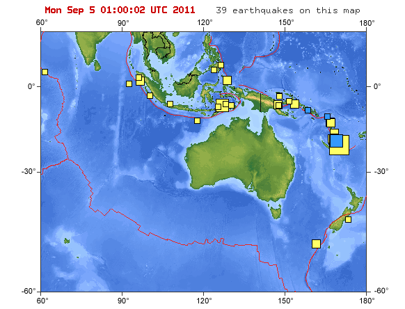
Image credit: TW
Magnitude 6.1 earthquake, an aftershiock of 7.1, struck 73 km (46 miles) NW (305°) from Isangel and 162 km (100 miles) SSE (165°) from PORT-VILA, Vanuatu (19.156°S, 168.696°E) at depth of 59.4 km (36.9 miles). No tsunami message has been published by NOAA or GDACS.
")
The earthquake was also felt as a weak shaking in New Caledonia (Main Island + Fayaoue, Wé and Tadine)
Closest to the epicenter is the island of Erromango. Erromango is the largest island in Tafea Province, the southernmost province of Vanuatu. Its highest point is Mount Santop, at 886 m. Its largest villages are Port Narvin (Potnarvin) and Dillons Bay (Upongkor). The total area of Erromango is 888 km². It was formerly known as Martyr’s Island by the Presbyterian missionaries in the 19th century, because of the risk attached to missionary activity there—notably the death of John Williams of the London Missionary Society at Dillon Bay in 1839. (text courtesy Wikipedia). Population at Erromango is estimated to be 1,500.

")
Commenting rules and guidelines
We value the thoughts and opinions of our readers and welcome healthy discussions on our website. In order to maintain a respectful and positive community, we ask that all commenters follow these rules.