• Winter Storm Warnings in effect for Washington, Oregon, Idaho, and Montana through Thursday

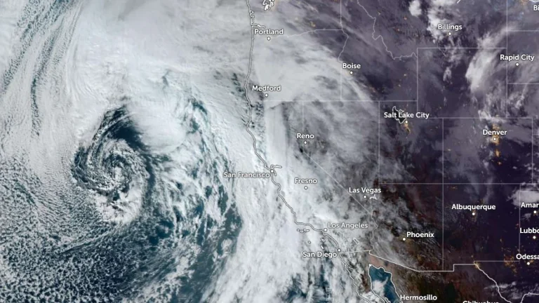
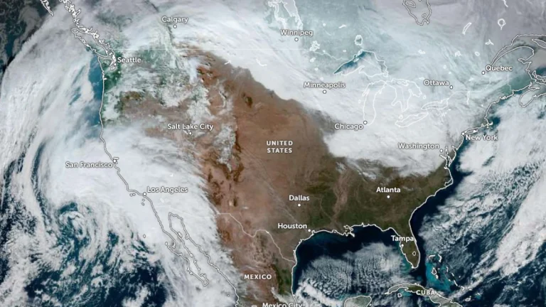
    A major winter storm is affecting the Pacific Northwest and northern Rockies, with winter storm warnings in effect through 16:00 PST on Thursday, January 8, 2026. Heavy snow is forecast to continue across the Cascades of Washington and Oregon, extending into Idaho and western Montana. Snow accumulations are forecast to reach between 30 cm and 120 cm (1 to 4 feet), with gusts up to 80 km/h (50 mph) causing whiteout conditions and difficult travel across mountain passes.
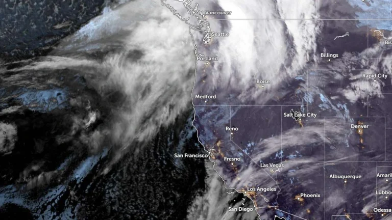

  • Two winter storms forecast to bring heavy mountain snow and rain to the Pacific Northwest

    Two frontal systems are forecast to bring widespread precipitation and heavy mountain snow to the Pacific Northwest between Tuesday and Thursday, January 6 and 8, 2026. The first, associated with a weakening atmospheric river, will bring rainfall to the region on Tuesday, followed by a second, stronger system on Wednesday and Thursday, January 7–8. Snowfall totals of 30–120 cm (12–48 inches) are expected across the Cascades and Olympic Mountains, with locally higher amounts above 1 500 m (5 000 feet).

  • Record-breaking King Tides flood San Francisco Bay Area and Northern California coast, U.S.

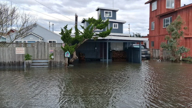
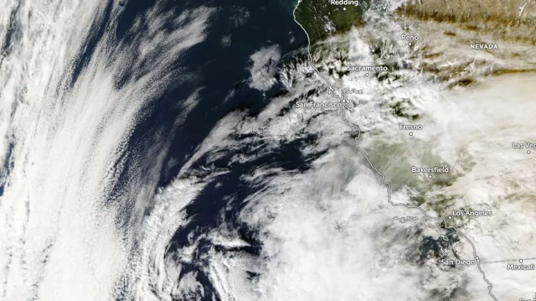
    Record-breaking King Tides struck the San Francisco Bay Area and parts of the Northern California coast on Friday and Saturday, January 2-3, 2026, causing widespread coastal flooding across multiple counties. Tide gauges across the region recorded water levels up to 0.76 m (2.5 feet) above normal, breaking multiple records and prompting road closures, flood warnings, and emergency advisories.

  • Polar Vortex disruption expected after January stratospheric warming

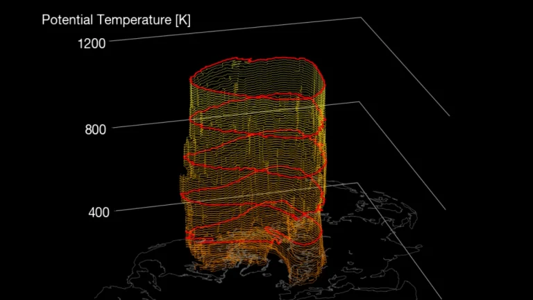
    A Sudden Stratospheric Warming (SSW) event evolving over the Arctic through mid-January 2026 is forecast to weaken and displace the Polar Vortex, according to ECMWF and NOAA extended-range guidance. The disturbance is expected to propagate downward over the following weeks, raising the probability of Arctic air outbreaks and colder-than-normal conditions in parts of North America and Europe during the second half of January 2026.

  • Alberta clipper reinforces lake-effect snow as heavy rain targets southern California into the New Year

    A surge of Arctic air, reinforced lake-effect snowfall, and an atmospheric river are forecast to affect large portions of the United States from December 31, 2025, into January 2, 2026. Heavy snow is expected downwind of the Great Lakes and across parts of the Northeast, while southern California faces a flash flood risk as an atmospheric river moves onshore around New Year’s Day.