
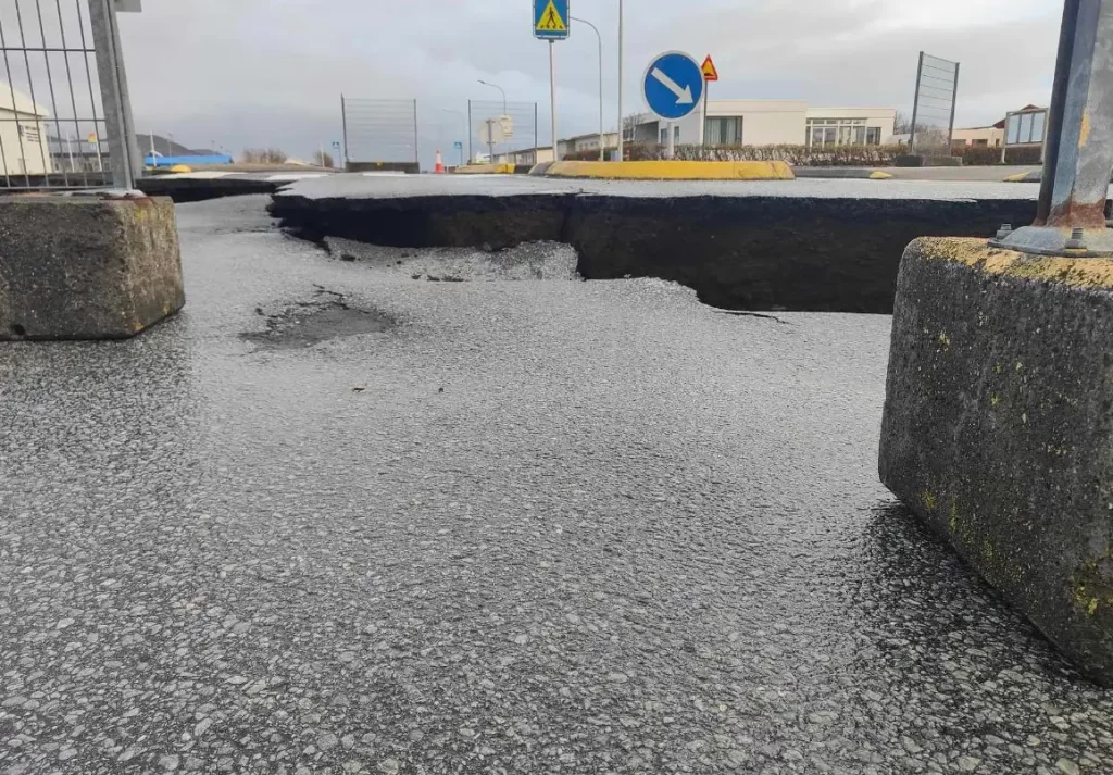
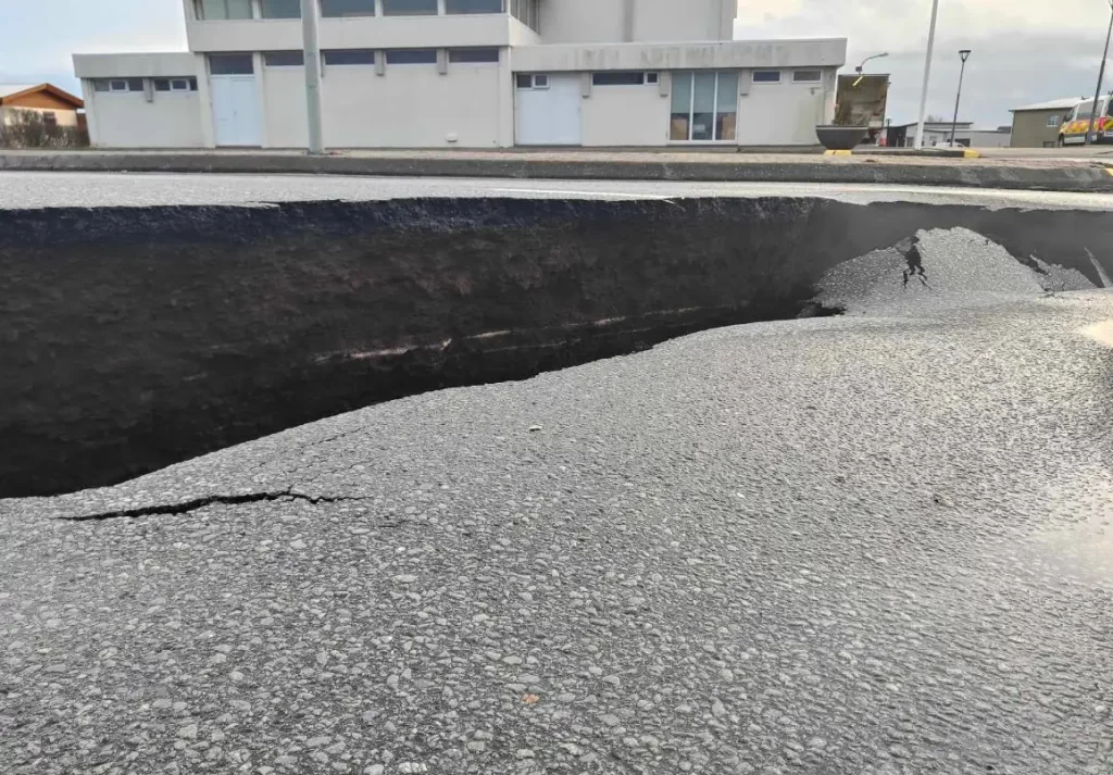
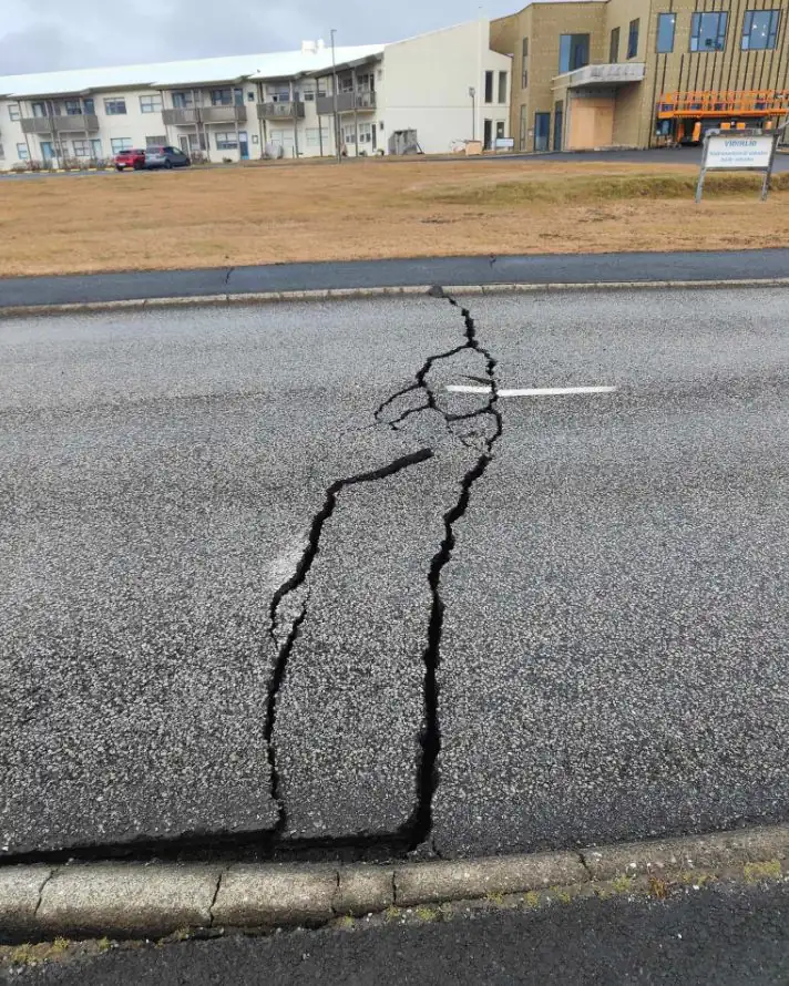
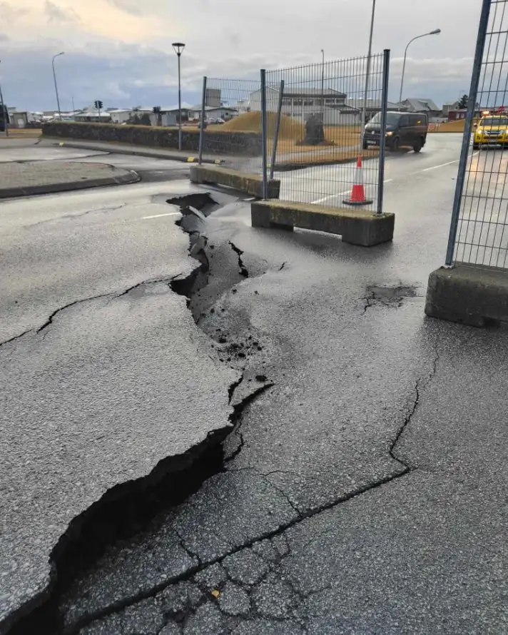
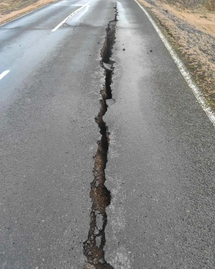
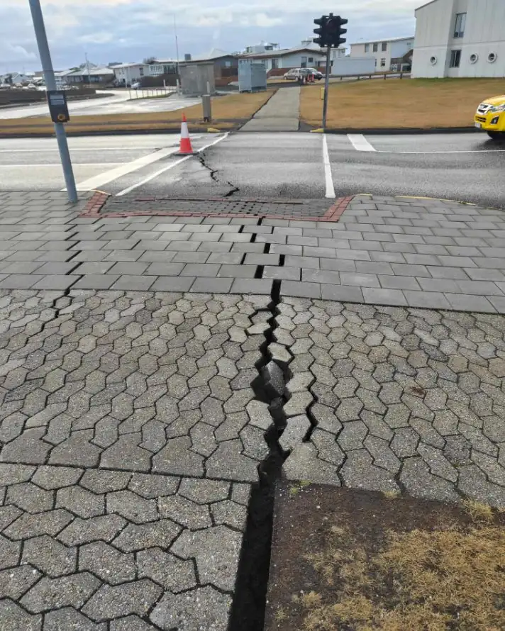
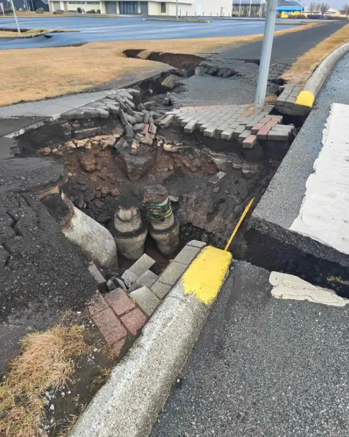
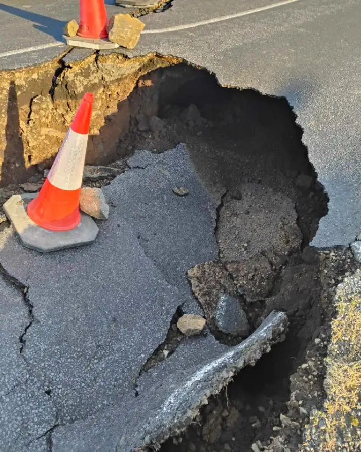
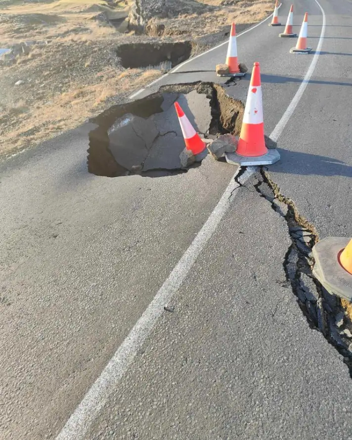
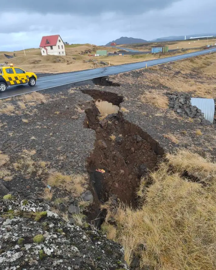
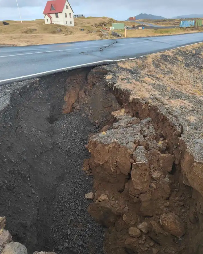
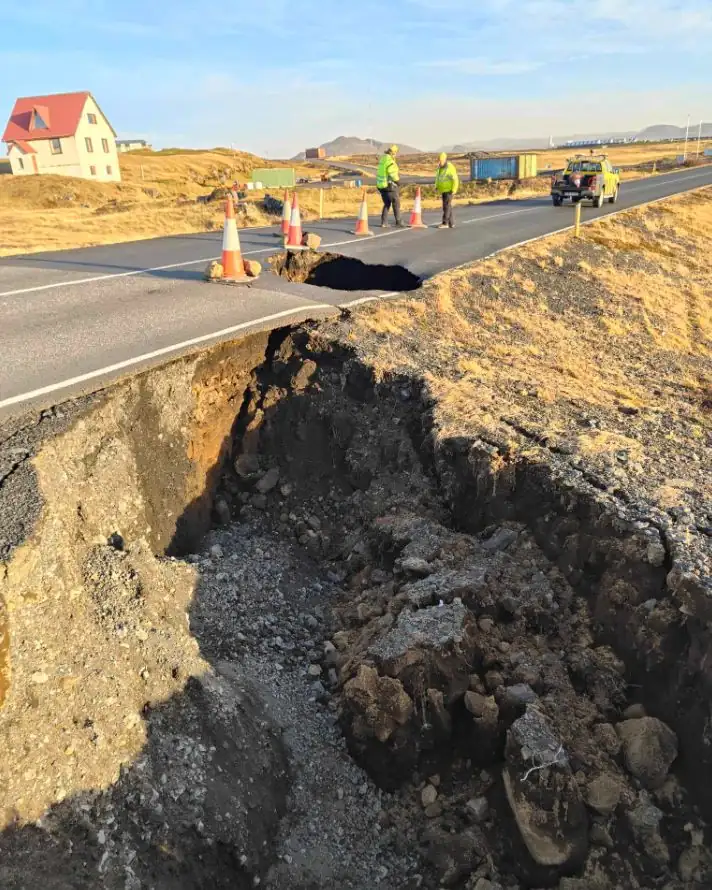
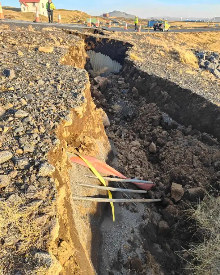
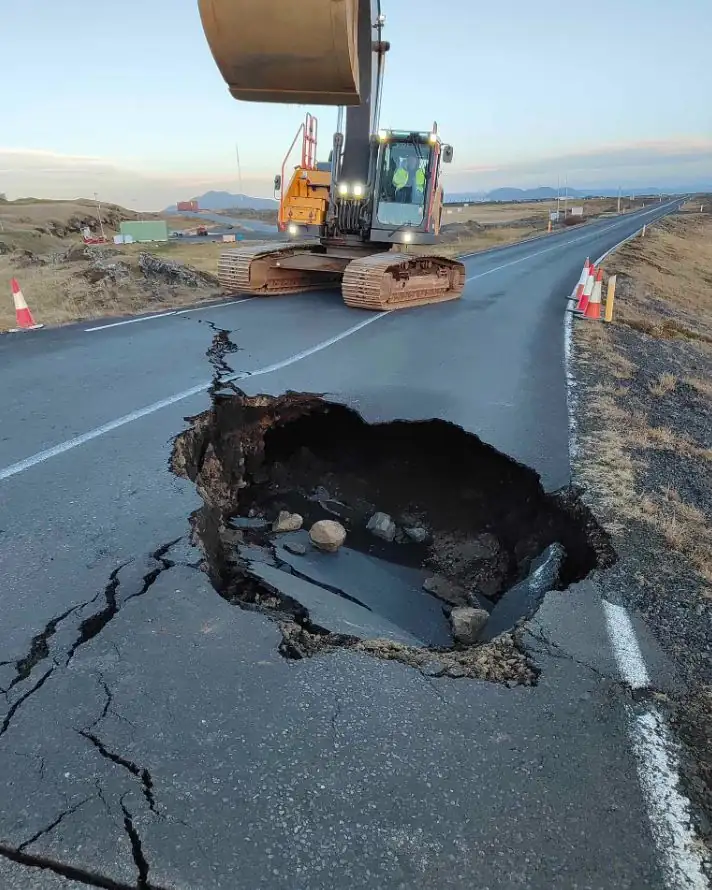
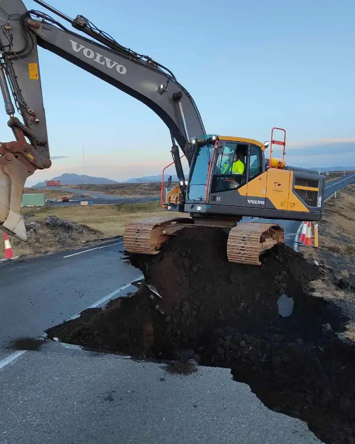
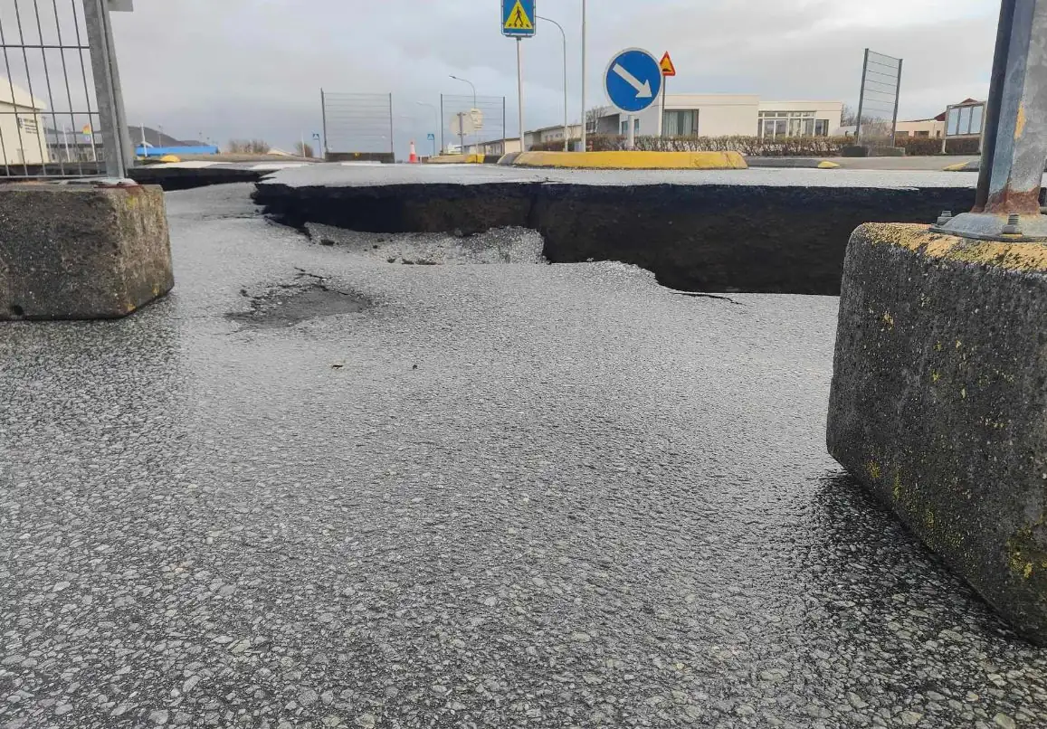
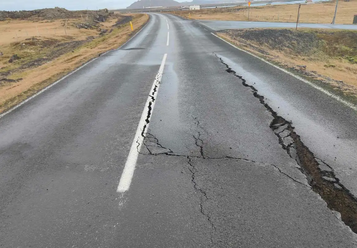
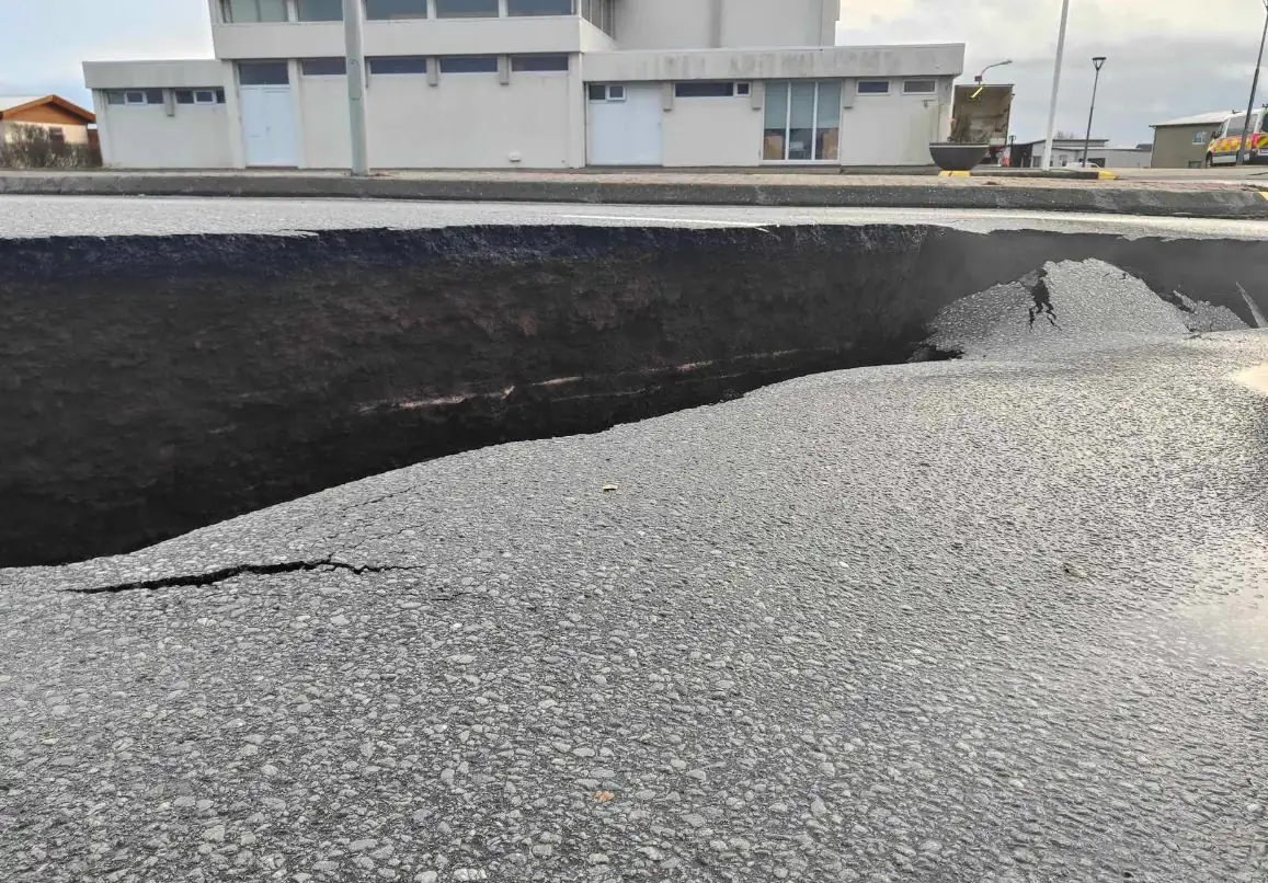
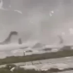
Close look at severe road damage in Grindavik caused by significant ground deformation, Iceland
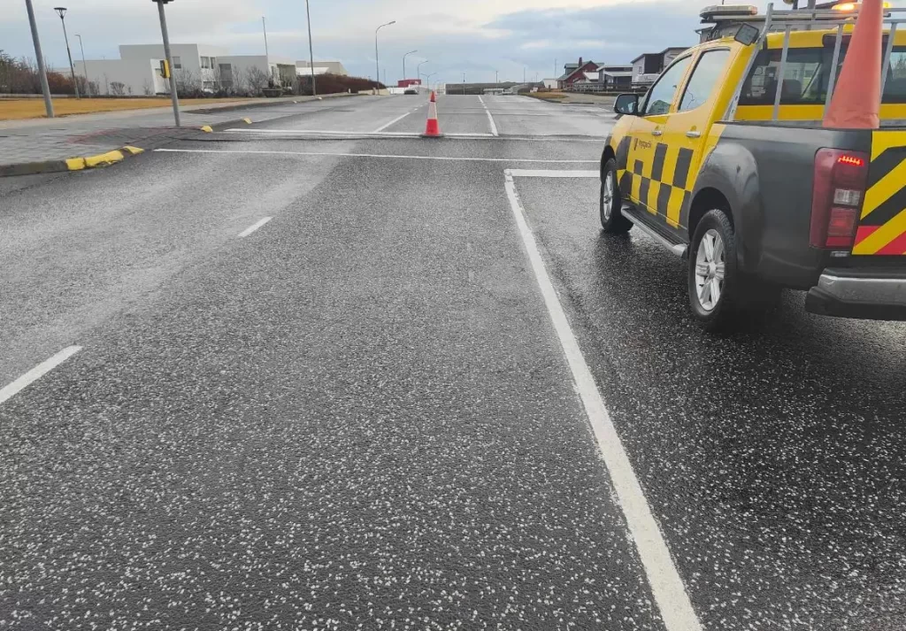
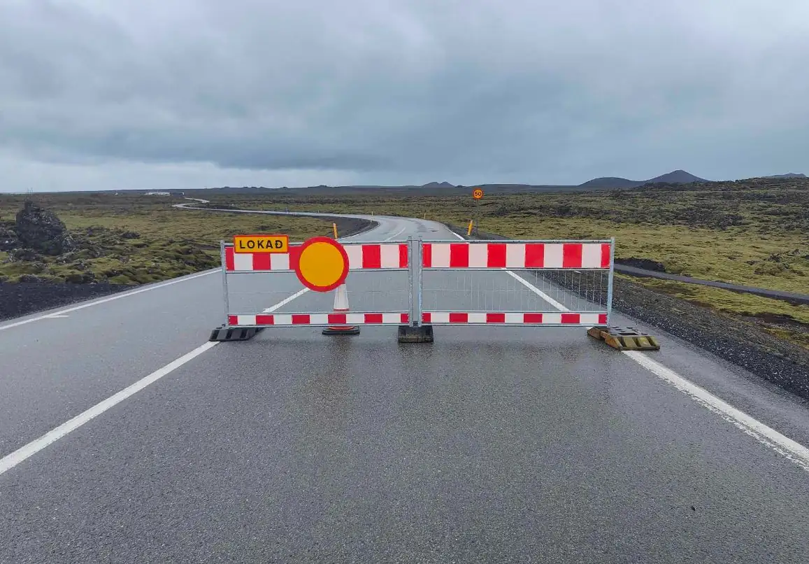
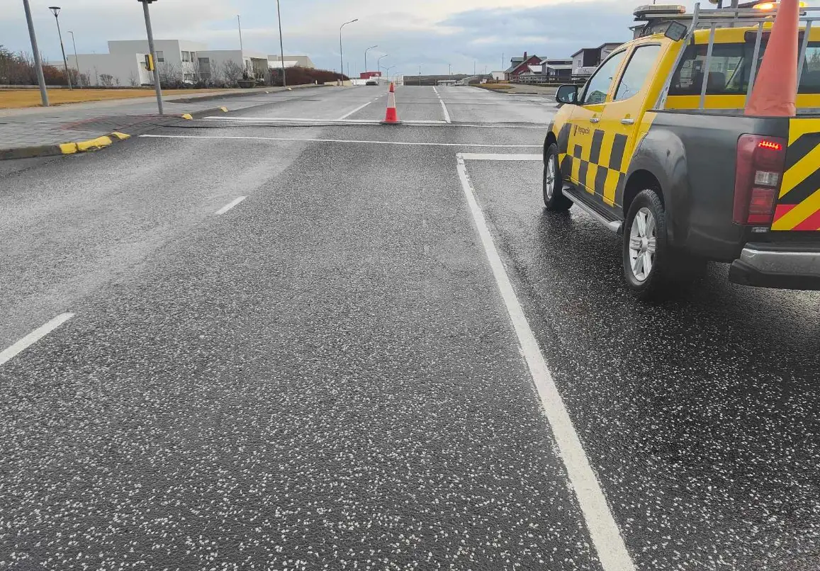
The intense seismo-volcanic crisis in Iceland’s Reykjanes peninsula has led to severe infrastructure damage across the evacuated town of Grindavik, leaving roads in and out of town impassable and closed. Since October 25, 2023, the region has been grappling with the effects of intense earthquake swarm and significant ground deformation.
A new ascending COSMO-SkyMed (CSK) interferogram covering the period from November 3 to 11 supported the difficult decision made by Civil Protection to evacuate the town of Grindavík late Friday evening, November 10.
It also enabled modeling of the dimensions of the dike intrusion on November 11, which provided a median dike length of 15 km (9 miles) and a top depth of less than 1 km (0.6 miles) below the surface.
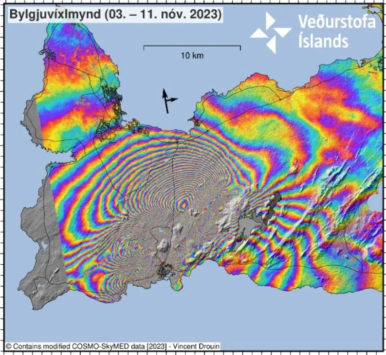
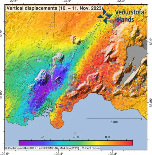
The image shows over 1 m (3.3 feet) of ground displacement in the western part of Grindavík, caused by the propagation of the magma intrusion. The greatest area of magma upwelling is sourced close to Sundhnúkur, 3.5 km (2.2 miles) north-northeast of Grindavík.
The Icelandic Road Administration released videos and photos showing extensive damage to local roads, including large holes and cracks that have rendered many impassable.
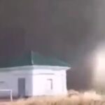
The town is still evacuated.


Read more about the causes of damage:
Featured image credit: Vegagerdin


Commenting rules and guidelines
We value the thoughts and opinions of our readers and welcome healthy discussions on our website. In order to maintain a respectful and positive community, we ask that all commenters follow these rules.