
Forecasters say this winter’s El Niño could reach historic strength, but the last one that big, nicknamed Godzilla in 2015–16, left Los Angeles with about two-thirds of its normal rain while storms pounded the Pacific Northwest
In late 2015, Southern California braced for a deluge. A powerful El Niño was building in the Pacific, and forecasters, water managers and homeowners expected heavy winter rain to end a punishing drought. Some people stocked up on sandbags.
The storms mostly went elsewhere. Los Angeles ended the season well short of its normal rainfall, while Seattle had one of its wettest winters on record. Now, with another very strong El Niño building, that winter is a useful reminder of what these events can and can’t promise.
What El Niño is
El Niño is a natural climate pattern that begins in the tropical Pacific Ocean. Every few years, the usual trade winds weaken, and warm water spreads east toward South America. The ocean surface along the equator becomes much warmer than normal.
That warm water changes where tropical storms and rising air develop, and those shifts ripple through the atmosphere around the world. In North America, El Niño tends to shift the jet stream, the high-altitude river of air that steers winter storms.
This winter’s forecast
The current El Niño began in early 2026 and has strengthened steadily. NOAA’s Climate Prediction Center rates events by how far ocean temperatures rise above normal, with “very strong” meaning more than 2°C. “Super El Niño” is a popular nickname, not an official category.
In October, NOAA put the chance of a “historic” event, stronger than any El Niño since 1950, at about 83% for October to December. Most forecast models expect the event to peak between November and January before weakening in spring.
The Godzilla El Niño of 2015–16
The last El Niño of comparable strength formed in 2015. As it grew, NASA climate scientist Bill Patzert nicknamed it “Godzilla,” and the label stuck.
Expectations in California were high. Strong El Niños in 1982–83 and 1997–98 had brought heavy rain and flooding to Southern California, and the state was then in the fourth year of a severe drought. Many hoped the new event would refill reservoirs.
Instead, Downtown Los Angeles recorded 9.65 inches of rain for the 2015–16 rain year, about 65% of normal. It was the city’s fifth dry year in a row.
Where the storms went
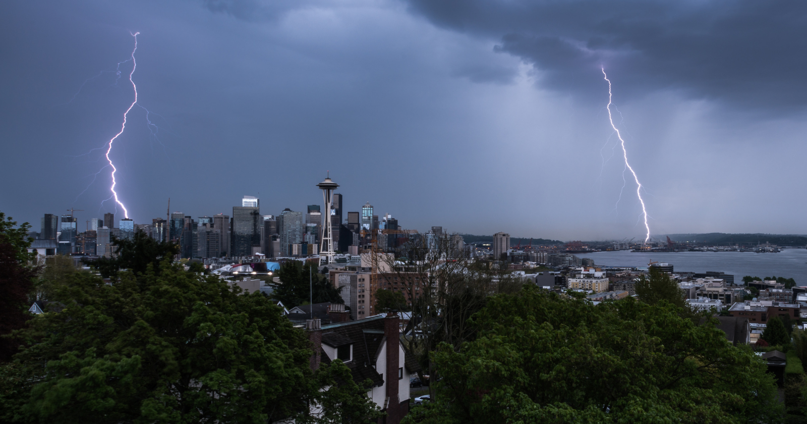
While Southern California stayed largely dry, storms repeatedly hit farther north. Seattle had its wettest December to February since records began in 1894. That was a surprise, because strong El Niño winters usually leave the Pacific Northwest drier and milder than normal.
Northern California also did better than the south, and Sierra Nevada snow partially recovered. The National Weather Service later described the pattern as flipped compared with earlier strong El Niños.
Scientists have since studied why. Their research suggests that natural variation in the atmosphere, along with differences in where the warmest ocean water sat, helped push the storm track north. Even a very strong El Niño only tilts the odds. It doesn’t control every storm.
What this means for this winter
El Niño remains one of the most useful tools forecasters have for seasonal outlooks. Strong events have historically raised the chances of a wetter winter across the southern United States, from California to Florida, and a milder winter across the northern tier and Canada.
But 2015–16 shows the limits of those patterns. Other factors also shape any given winter, including the polar vortex, which has already seen a record-early disruption this November. Seasonal forecasts give probabilities, not guarantees.
How to use an El Niño forecast
If you live in an area that often floods during wet winters, the forecast is a good reason to prepare early. Clear gutters and drains, check your flood insurance, and know your local evacuation routes. Flood insurance policies often have a waiting period before coverage starts, so don’t leave it too late.
At the same time, don’t assume a strong El Niño means the end of drought or water restrictions. Keep following local water guidance, and watch the shorter-range forecasts, which become more reliable as storms approach.
For businesses and farmers, it’s best to treat El Niño as one input among many, not a firm prediction. Planning for a range of outcomes, rather than the one the headlines expect, is the lesson Godzilla left behind.

The Watchers Staff covers earthquakes, volcanoes, severe weather, space weather and other natural events. Published since 2011, The Watchers reports on a changing planet and the science behind it.
Published in the last 24 hours
- Winds circling the North Pole have slowed sharply this month, the same kind of disruption that in January 2019 split the polar vortex and sent Chicago to minus 23°F, cold enough that rail crews ran flames along the tracks Epicenter
- In April 2014, golden-winged warblers in the mountains of Tennessee, songbirds weighing about as much as four dimes, fled their breeding grounds a day or two before a tornado outbreak and flew hundreds of miles south, while the scientists tracking them sheltered in a Waffle House Epicenter
- After record Nordic heatwave, Swedish researchers to recreate indoor heat to study older adults Epicenter
- San Juan River cuts through 300-million-year-old rocks while retaining its winding course in Utah Epicenter
