• Mount Agung erupts ash 4.5 km a.s.l., Alert Level remains at 3

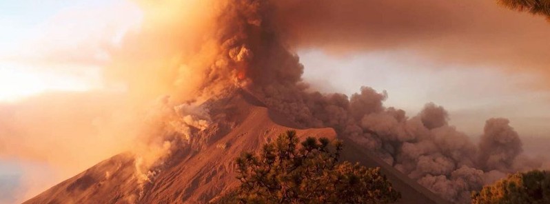
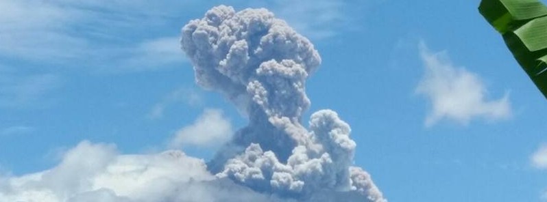
    Mount Agung erupted at 03:49 UTC on February 13, 2018, ejecting a column of ash up to 4.5 km (15 000 feet) above sea level, that's 1.5 km (5 000 feet) above the crater. The eruption comes two days after authorities lowered Alert Level from 4 to 3, the second…
  • Thermal anomaly on Mount Michael, possible strombolian activity

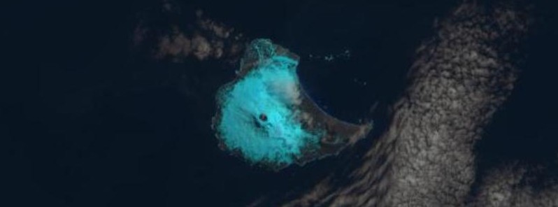
    A satellite image captured by NASA/USGS Landsat-8 on January 31, 2018 show a thermal anomaly present in the summit crater of Mount Michael volcano on Saunders Island, South Atlantic Ocean. "The anomaly is clearly an indicator that some elevated activity has…

  • The Weekly Volcanic Activity Report: January 24 – 30, 2018

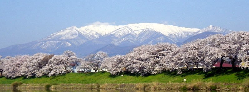
    New activity/unrest was reported for 5 volcanoes between January 24 and 30, 2018. During the same period, ongoing activity was reported for 12. New activity/unrest: Kadovar, Papua New Guinea | Kusatsu-Shiranesan, Honshu (Japan) | Mayon, Luzon (Philippines) | San…

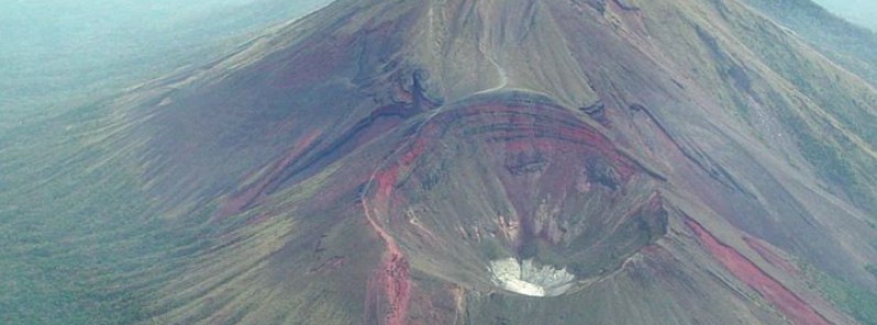
  • Gaua volcano alert level raised, major unrest reported

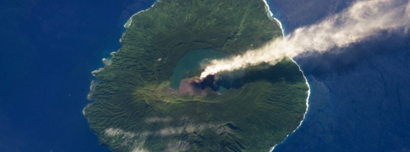
    The Vanuatu Meteorology and Geohazards Department (VMGD) raised the Volcanic Alert Level of Gaua volcano from Level 1 to Level 2 on January 31, 2018. The decision restricts visitors from approaching the volcanic cone. A long period of dormancy of this volcano ended…