Hurricane “Julia” makes landfall in Nicaragua
Hurricane “Julia” made landfall along the coast near Laguna de Perlas in Nicaragua at 07:15 UTC on October 9, 2022, with maximum sustained winds of 140 km/h (85 mph), making it a Category 1 hurricane.

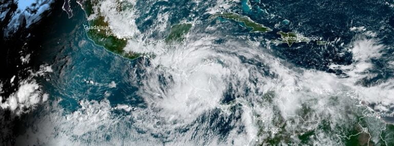
Hurricane “Julia” made landfall along the coast near Laguna de Perlas in Nicaragua at 07:15 UTC on October 9, 2022, with maximum sustained winds of 140 km/h (85 mph), making it a Category 1 hurricane.
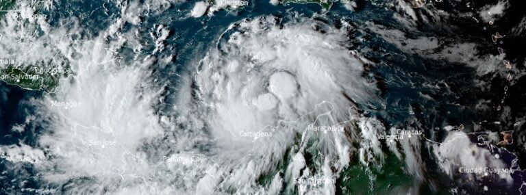
Tropical Storm “Julia” is strengthening and is expected to become a hurricane before reaching the coast of Nicaragua on Sunday, October 9, 2022.
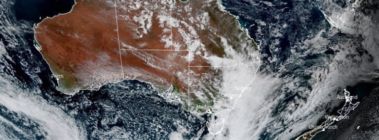
Between January 1 and October 6, 2022, Australia’s largest city – Sydney recorded more than 2 194 mm (86 inches) of rainfall, marking its wettest year since 1858 when the records started. Over the next three months, eastern half of Australia is forecast to receive above median rainfall.
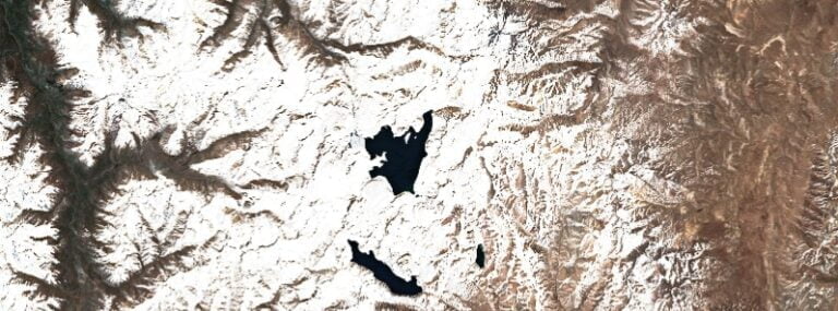
A seismic swarm started in under the Laguna del Maule volcanic complex in Chile on October 1, 2022.
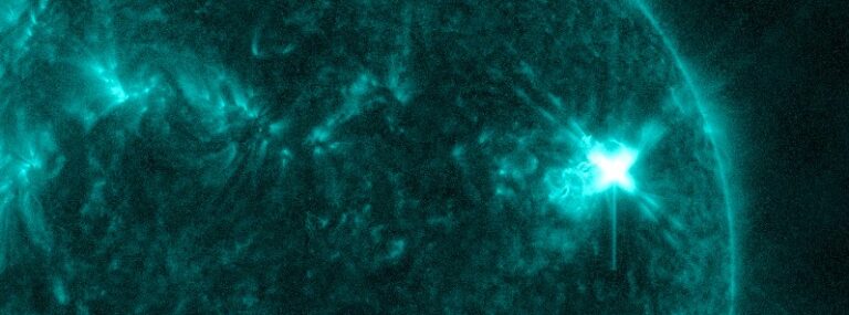
A major solar flare, measuring X1.0 at its peak at 20:25 UTC, erupted on October 2, 2022, from Active Region 3110. The event started at 19:53 and ended at 20:34 UTC.
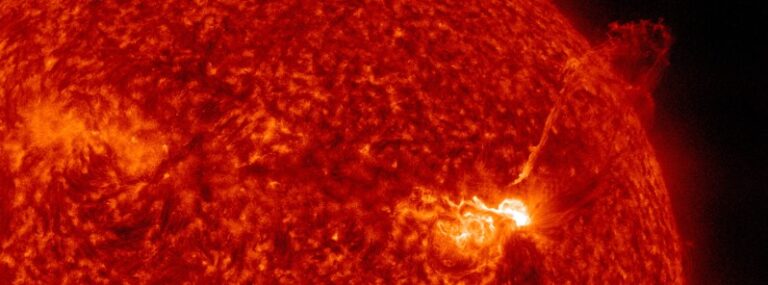
A strong solar flare, measuring M8.7 at its peak, erupted from Active Region 3110 at 02:21 UTC on October 2, 2022. The event started at 02:08 and ended at 02:21 UTC. The event comes several hours after impulsive M5.8 from the same region at 20:10 UTC on October 1.
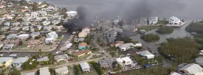
Hurricane “Ian” made landfall along the southwestern coast of Florida near Cayo Costa, an island off the coast of Fort Myers, around 19:05 UTC (15:05 EDT) on September 28, 2022, with maximum sustained winds of 240 km/h (150 mph), placing it at the upper end of the Category 4 hurricane on the Saffir-Simpson scale. Ian caused a catastrophic storm surge, winds and flooding in the Florida Peninsula, leaving more than 2.6 million customers without power.

The Swedish Coast Guard (SCG) said they found a fourth leak in Nord Stream pipelines on September 29, 2022, just 3 days after underwater explosions severely damaged two Nord Stream 1 pipes and one Nord Stream 2.
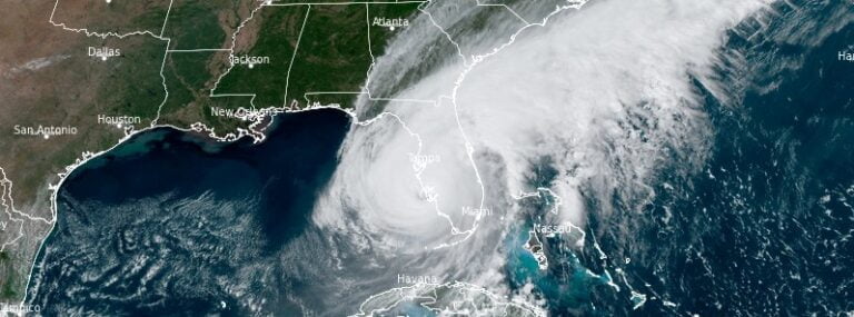
NOAA Doppler radar imagery indicates that the eye of Hurricane “Ian” made landfall along the southwestern coast of Florida near Cayo Costa around 19:05 UTC (15:05 EDT) on September 28, 2022.
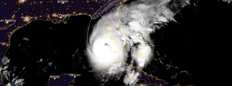
The center of Hurricane “Ian” is expected to approach the west coast of Florida this morning, September 28, 2022 (LT), and make landfall later today. Strengthening is forecast until it makes landfall, and Ian is forecast to approach the west coast of Florida as an extremely dangerous major hurricane.
