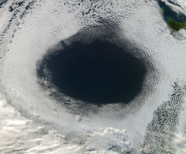
• A high pressure system spinning off the coast of Tasmania

    The Moderate Resolution Imaging Spectroradiometer (MODIS) aboard NASA’s Aqua satellite captured color image of a strong anticyclone over the Great Australian Bight on June 5, 2012.Anticyclones are wind systems that have the highest air pressure at the center and
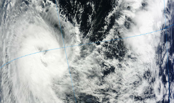
  • Tropical cyclone Kuena formed in Indian Ocean

    New cyclone is forming in Indian Ocean. Tropical cyclone 20S, named KUENA, is located 370 nm south-southeast of the Seychelles and is moving west-southwestward at speed of 7 knots (13 km/h) according to latest report by Joint Typhoon Warning Center (JTWC). The current

  • Dust storm over Afghanistan, Pakistan, Iran and Persian Gulf

    Dust continued to blow across Afghanistan and Pakistan on June 5, 2012. The light beige dust rose from the Hamoun wetlands along the border of Iran (west) and Afghanistan (east) and blows in a wide band across southern Afghanistan, Pakistan and northern India. The

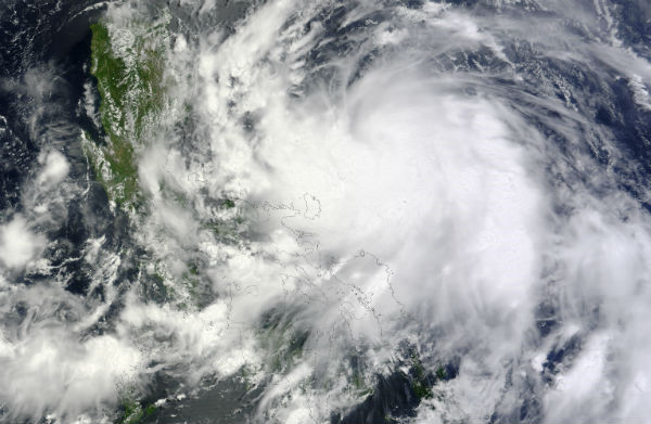
  • Typhoon Mawar (Ambo) moving out of Philippines and towards Japan

    According to PAGASA, at 4:00 pm local time on Sunday (8:00 UTC, June 3, 2012), Typhoon Mawar (Ambo) was estimated 390 km (242 miles) east-northeast of Aparri, Cagayan (19.6°N, 125.5°E) with maximum sustained winds of 120 km/h (74,5 mph) near the center and gustiness

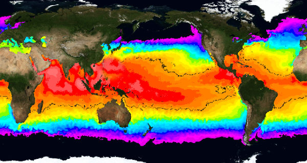
  • Sea surface temperatures at the start of hurricane season

    The official start of hurricane season is June 1, though four named tropical storms in May – Alberto and Beryl in the Atlantic, Aletta and Bud in the Pacific – came little earlier. These early home-grown storms are not necessarily a predictor of the August to October

  • Weakened slow-moving Beryl producing heavy rains

    Tropical storm Beryl had weakened to a tropical depression, but it is still soaking parts of northern Florida and southern Georgia, the U.S. National Hurricane Center (NHC) reported. On May 29, 2012 at 21:00 UTC the tropical depression was located about 60 km (40