• Magnitude 6.0 struck at Northern East Pacific Ridge

    Earthquake measuring magnitude 6.0 struck Northern East Pacific Rise on March 26, 2012 at 18:12 UTC. The epicenter was located 568 km (352 miles) E of Clipperton Island, 862 km (535 miles) SSW of Acapulco, Guerrero, Mexico, 864 km (536 miles) SSW of Zihuatanejo,

  • Magnitude 6.7 earthquake hits Papua New Guinea

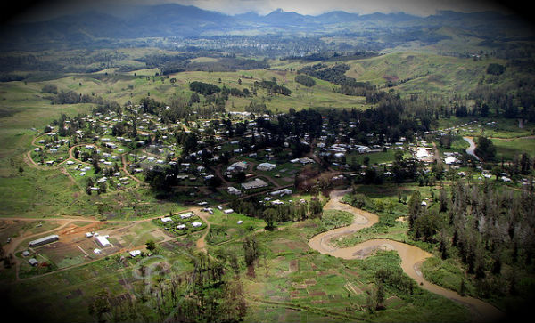
    Magnitude 6.7 earthquake struck 9 km east of Kainantu (with population of 8,509 people) at Papua New Guinea, on March 21, 2012 at 22:15:05 UTC (08:15:05 AM by local time) according to USGS and EMSC. The epicenter was located 66 km (41 miles) east-southeast of

  • 6.2 magnitude earthquake struck Papua, Indonesia

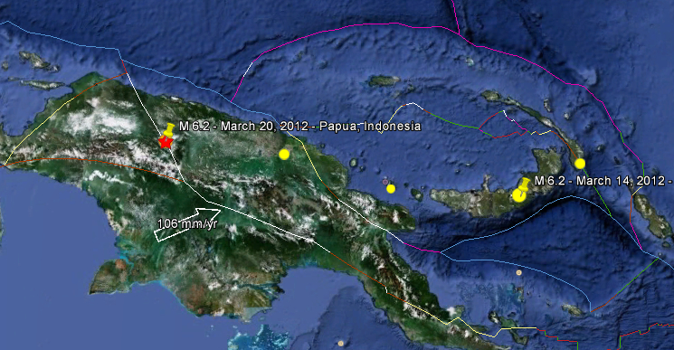
    Magnitude 6.2 earthquake struck Papua, Indonesia at 17:56:19 UTC on March 20, 2012 according to USGS. The epicenter was located 46.02 km (28.60 miles) S of Kiveh, 153 km (95 miles) SSW of Jayapura, Papua, Indonesia (3.830°S, 140.220°E). The depth of

  • Strong 5.7 magnitude earthquake struck Leyte, Philippines

    Strong and dangerous earthquake with magnitude 5.7 struck Leyte, Philippines today at 07:58:05, March 16, 2012 UTC according to USGS. The epicenter was located 25 km (15 miles) NNE of Surigao, Mindanao, Philippines (10.041°N, 125.670°E). The depth of epicenter

  • Deep sea floor topography can deflect and amplify tsunami waves

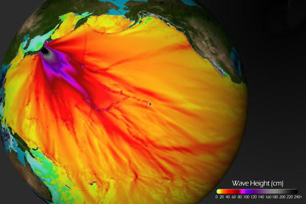
    The topography of the seafloor near the coast plays a major role in determining how large tsunami waves become and what places get hit harder than others. Scientists had suspected that the same phenomenon might also take place in the deep ocean, where seamounts