White River levee breach prompts evacuation order for the city of Pacific, Washington
A levee breach along the White River prompted evacuation orders and Flash Flood Warning for the city of Pacific on December 16, 2025.


I am an Assistant Editor and Severe Weather & Science Journalist at The Watchers, specializing in real-time severe weather coverage, geophysical event reporting, and research-driven scientific analysis. You can reach me at rishav(at)watchers(.)news.
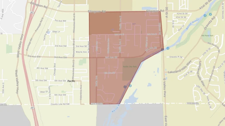
A levee breach along the White River prompted evacuation orders and Flash Flood Warning for the city of Pacific on December 16, 2025.
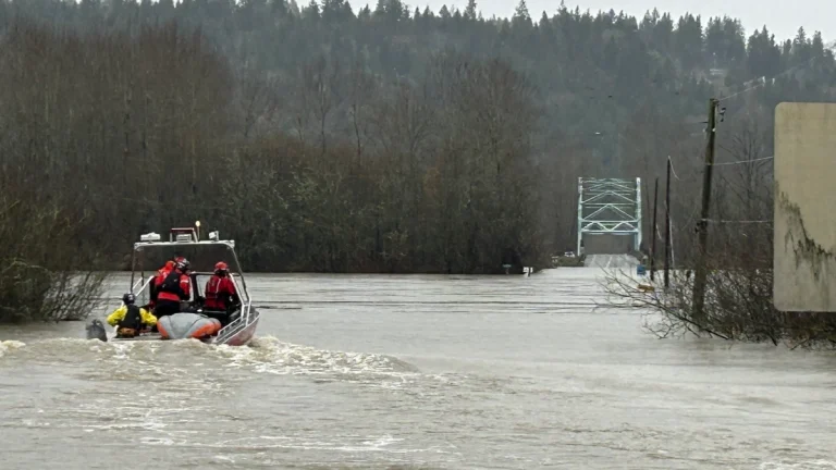
Two atmospheric rivers are forecast to bring prolonged heavy rain and mountain snow to the Pacific Northwest and northern California through December 20, 2025. The Weather Prediction Center (WPC) forecasts 100–150 mm (4–6 inches) of precipitation across western Washington and 100–200 mm (4–8 inches) across western Oregon, with locally higher totals in the Cascades and coastal ranges.

Evacuation notice and the Flash Flood warnings were lifted for King County after crews successfully contained the Green River Levee which failed near Tukwila, Washington on December 15, 2025, triggering flash floods in the area.
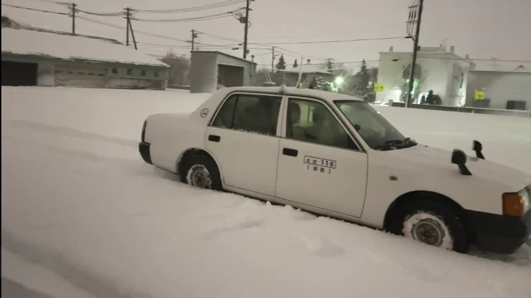
Record snow and winds struck Hokkaido, Japan, overnight December 14–15, 2025, and left tens of thousands without power.
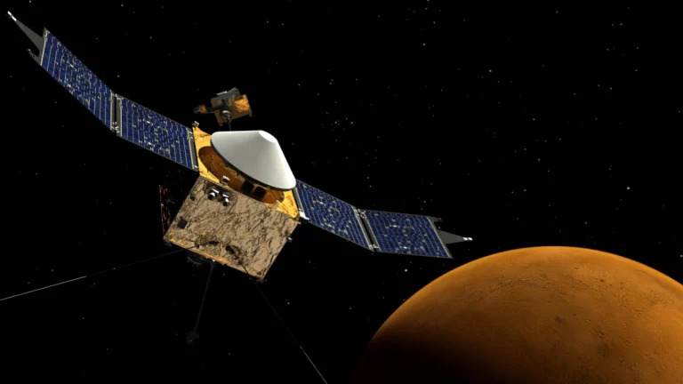
Scientists have found a fragment of tracking data from MAVEN that suggests its orbital trajectory may have changed when re-emerged from behind Mars and lost contact with NASA on December 6, 2025.

Freeze warnings were issued by the National Weather Service (NWS) for parts of Florida, Georgia, Alabama, Louisiana, and Texas early on December 15, 2025, lasting through December 16. Temperatures dropped as low as 21°F (−6°C) in central Louisiana and 24°F (−4°C) in northern Florida, with wind chills reaching 14°F (−10°C).
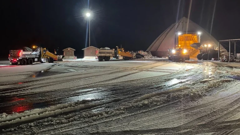
At least two people were reported dead in traffic crashes as a powerful winter storm dropped up to 20 cm (8 inches) of snow across parts of Long Island, New York, including Nassau and Suffolk counties, on December 14, 2025, creating dangerous travel conditions. Suffolk County Police reported approximately 200 vehicle collisions across the island as the storm moved through the region.
The National Weather Service (NWS) issued multiple high wind warnings and watches across the Pacific Northwest and northern Rockies on Monday, December 15, 2025, as a strong surface low-pressure system moved into the region. The alerts cover parts of Montana, Wyoming, Idaho, Washington, and Oregon, and remain in effect through Wednesday afternoon, December 17, with sustained winds of 40–70 km/h (25–45 mph) and gusts exceeding 110 km/h (70 mph) forecast in exposed and mountainous areas.
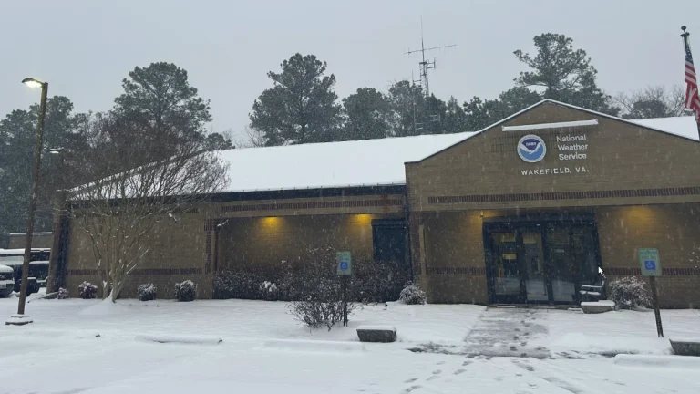
Arctic air driven by the polar vortex has prompted extreme cold warnings across parts of Indiana, Illinois, and West Virginia on December 14, 2025. Wind chills between −21°C (−6°F) and −30°C (−22°F) are producing dangerous conditions capable of causing frostbite on exposed skin within 30 minutes.
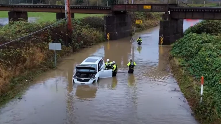
A series of atmospheric rivers are forecast to continue impacting the Pacific Northwest and spread southward into California through late December. Moderate risks of heavy precipitation, snow, and high winds are forecast across the West Coast between December 20 and 26, 2025.
