Skagit and Snohomish rivers rise to record-breaking levels, Washington, U.S.
The Skagit and Snohomish rivers rose to record levels on Friday, December 12, 2025, prompting evacuations and a boil-water notice in flood-affected areas.
I am an Assistant Editor and Severe Weather & Science Journalist at The Watchers, specializing in real-time severe weather coverage, geophysical event reporting, and research-driven scientific analysis. You can reach me at rishav(at)watchers(.)news.

The Skagit and Snohomish rivers rose to record levels on Friday, December 12, 2025, prompting evacuations and a boil-water notice in flood-affected areas.

A surge of Arctic air is forecast to move south from the Northern High Plains on Friday, December 12, 2025, driving near-record lows and dangerous wind chills across the Northern Plains and Mid-South through the weekend.

U.S. Coast Guard released videos of four people rescued from a flooded home in Sumas, Washington, on December 10, 2025, where 2.5–3 m (8–10 feet) waters had surrounded the property amid historic flooding.

Multiple atmospheric rivers brought widespread flooding to Snohomish County, Washington, this week, forcing water rescues and road closures as the Snohomish River approached its fourth-highest crest on record

Residents along the Skagit River in Washington have been ordered to evacuate as the river is forecast to reach 13.55 m (44.47 feet) by late December 11, 2025. Heavy rainfall and rising rivers have led to emergency declarations across Washington State.

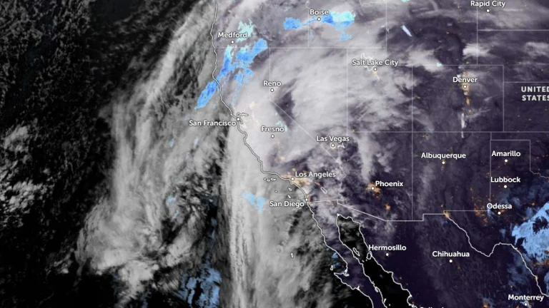
A strong atmospheric river brought significant flooding to parts of the Pacific Northwest through December 9, 2025, with rainfall rates in the Cascades exceeding 13 mm (0.5 inch) per hour and the Snoqualmie River cresting at 5.4 m (17.8 feet), its highest level in more than 10 years.

A tornado struck the rural community of Alfredo Chaves in Flores da Cunha on Monday, December 8, 2025, causing structural damage to dozens of residences and leaving hundreds without power.

Blizzard warning have been issued with snowfall totals of up to 30 cm (12 inches) being forecast across the high western slopes along with gusts of 80 km/h (50 mph) across multiple mountain counties. The warnings are in effect for parts of West Virginia, western Maryland, and western Virginia from 10:00 EST Wednesday, December 10, 2025 to 10:00 EST Thursday, December 11.

An intense extratropical cyclone is forming on Tuesday, December 9, 2025, over Rio Grande do Sul, bringing widespread rainfall, severe thunderstorms, and damaging winds across southern Brazil.

Large portions of the northern United States are under winter storm warnings as a strong Alberta clipper advances into the Upper Midwest and separate winter storms persist across the northern Rockies from Tuesday morning through early Wednesday, December 9-10, 2025.