
Pyroclastic flow at Sinabung volcano, lava dome continues to grow, Indonesia
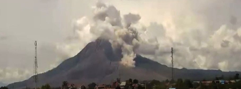
Image credit: PVMBG webcam
A pyroclastic flow was reported at Sinabung volcano in Indonesia on November 18, 2020, with a sliding distance of 1 500 m (4 921 feet) to the southeast. An eruption occurred at 06:44 UTC, accompanied by an ash plume rising up to 3.6 km (12 000 feet) above sea level. The Aviation Color Code remains at Orange.
On November 17, seismographs recorded 24 avalanche earthquakes, six low-frequency quakes, one local tectonic quake, and two distant tectonic earthquakes on the volcano. The dome continues to grow, making it more cantilevered.
On November 18, the volcano emitted pyroclastic flow as far as 1 500 m (4 921 feet) to the southeast. Armen Putra, head of the Sinabung Volcano Monitoring Post, said the mountain had to be monitored as its activity remains high.
"We have anticipated the increased activity of Sinabung by continuing to coordinate with the Tanah Karo Regional Disaster Management Agency (BPBD)."
"People must stay away from the red zone with a radius of 5 km (3 miles) to the East-Southeast sector, and 4 km (2 miles) to the North East from the summit of Mount Sinabung."
"Together with the TNI and Polri, we are increasing security at every entrance to the foot of Mount Sinabung. This is done so that no residents enter the red zone," he added.
The lava dome continues growing and its development continues to be closely monitored. Seismic activity is characterized by continuous volcanic tremor.
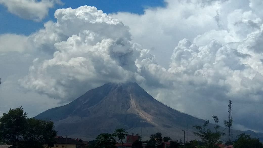
Eruptive episode of the volcano on November 18. Image credit: Sadrah Peranginangin / Beidar Sinabung
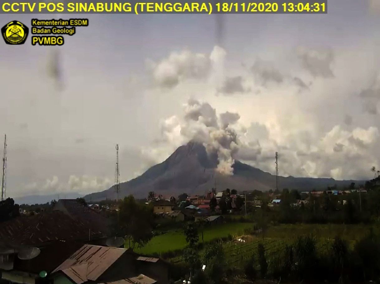
Image credit: PVMBG webcam
PVMBG reported that each day from November 4 to 9 block avalanches descended Sinabung’s E and SE flanks generally as far as 1 km (0.6 miles).
Pyroclastic flows traveled 1.5 – 2.5 km (0.9 – 1.5 miles) down the same flanks at least on November 4, 5, and 7.
The Alert Level remains at 3 (on a scale of 1 – 4), with a general exclusion zone of 3 km (1.8 miles) and extensions to 5 km (3.1 miles) in the SE sector and 4 km (2.5 miles) in the NE sector.
The Aviation Color Code remains Orange.
Awan panas guguran & Erupsi G.Sinabung
18 Nov 2020 pic.twitter.com/tmkKIKI8cW— Rizal (@Rizal06691023) November 18, 2020
Geological summary
Gunung Sinabung is a Pleistocene-to-Holocene stratovolcano with many lava flows on its flanks. The migration of summit vents along a N-S line gives the summit crater complex an elongated form.
The youngest crater of this conical, 2 460-m-high (8 070 feet) andesitic-to-dacitic volcano is at the southern end of the four overlapping summit craters.
An unconfirmed eruption was noted in 1881, and solfataric activity was seen at the summit and upper flanks in 1912.
No confirmed historical eruptions were recorded prior to explosive eruptions during August – September 2010 that produced ash plumes to 5 km (16 404 feet) above the summit. (GVP)
Commenting rules and guidelines
We value the thoughts and opinions of our readers and welcome healthy discussions on our website. In order to maintain a respectful and positive community, we ask that all commenters follow these rules.