
August 2019 was another record-setting month for Steamboat geyser, Yellowstone volcano, USA
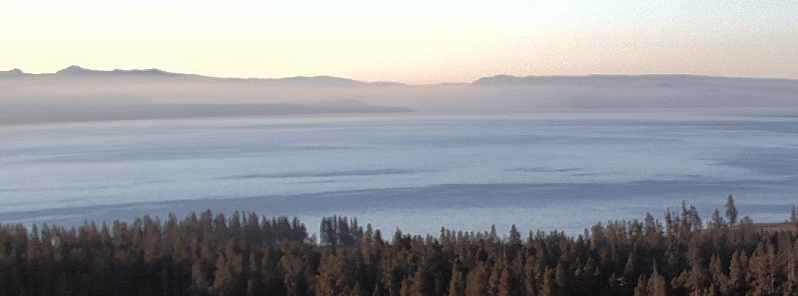
Featured image: Yellowstone Lake at 07:10 MDT, September 10, 2019. Credit: USGS/YVO
August 2019 was another record-setting month for Steamboat geyser, which experienced water eruptions on August 12, 20, and 27. The August 27 eruption was the 33rd of 2019, breaking the record for eruptions in a calendar year that was set in 2018, the Yellowstone Volcano Observatory reports.
Field work in Yellowstone National Park during the month of August included maintenance work on the temperature monitoring network in Norris geyser basin, as well as a field visit to the new thermal area near West Tern Lake, on the east side of Yellowstone National Park.
Geologists mapped the region and measured ground temperatures that in places reached 92 °C (198 °F), which is the boiling temperature at that elevation.
There were no water springs in the new thermal area, but a few fumaroles were venting steam. Sulfur crystals on the fumarole edges indicated the presence of hydrogen sulfide, which is a common gas in Yellowstone hydrothermal areas.
More information about the field visit is given in the August 26, 2019, edition of Yellowstone Caldera Chronicles.
Seismicity
During August 2019, the University of Utah Seismograph Stations, responsible for the operation and analysis of the Yellowstone Seismic Network, located 128 earthquakes in the Yellowstone National Park region. The largest event was a minor earthquake of magnitude 3.5 located 33 km (21 miles) north-northwest of Moran, WY, on August 15 at 13:46 MDT.
August seismicity in Yellowstone concluded with a swarm of 54 located earthquakes during August 27 – 31. Additional earthquakes that were too small to be located but can be seen on webicorders are not included in the swarm total number. The largest swarm event, a minor earthquake of magnitude 2.7, was located 9 km (6 miles) south-southeast of West Thumb, in Yellowstone National Park, on August 29 at 16:24 MDT.
Yellowstone earthquake activity remains at background levels.
Ground deformation
Ground deformation in the Yellowstone area as recorded by GPS stations has been largely flat for the past month.
Ground subsidence of Yellowstone caldera has been ongoing since 2015, but there has been little subsidence or uplift over the summer of 2019.
Similarly, in the area of Norris Geyser Basin, GPS data show no significant changes since October 2018.
I'm a dedicated researcher, journalist, and editor at The Watchers. With over 20 years of experience in the media industry, I specialize in hard science news, focusing on extreme weather, seismic and volcanic activity, space weather, and astronomy, including near-Earth objects and planetary defense strategies. You can reach me at teo /at/ watchers.news.
Commenting rules and guidelines
We value the thoughts and opinions of our readers and welcome healthy discussions on our website. In order to maintain a respectful and positive community, we ask that all commenters follow these rules.