Strong and shallow M6.1 earthquake hits near the coast of Papua New Guinea
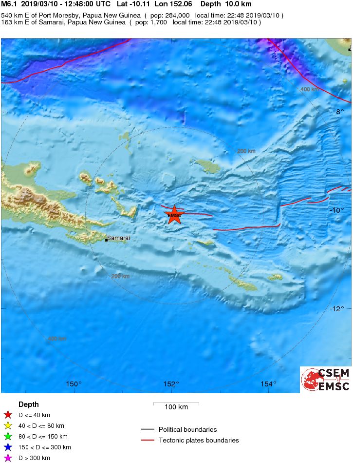
A strong and shallow earthquake registered by the USGS as M6.1 hit near the coast of Papua New Guinea at 12:48 UTC on March 10, 2019. The agency is reporting a depth of 10 km (6.2 miles). EMSC is reporting the same magnitude and depth. This is the second M6+ earthquake of the day.
According to the USGS, the epicenter was located 161 km (100 miles) ENE of Samarai and 176 km (109 miles) E of Alotau, Papua New Guinea.
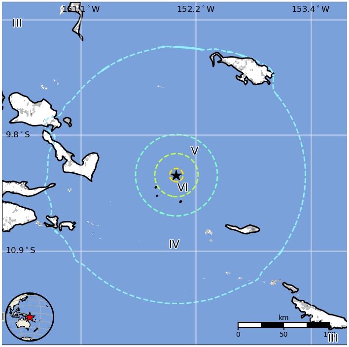
There are about 12 000 people living within 100 km (62 miles).
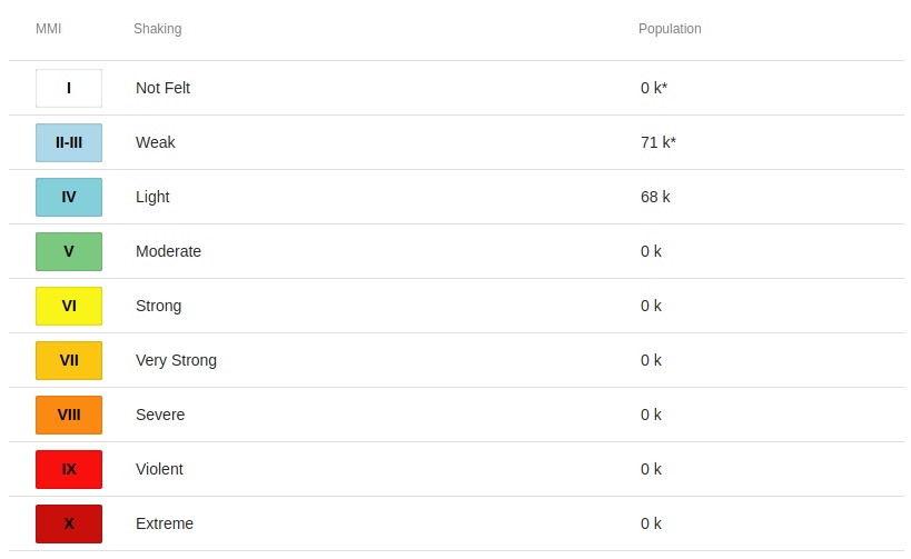
68 000 people are estimated to have felt light shaking and 71 000 weak.
The USGS issued a green alert for shaking-related fatalities and economic losses. There is a low likelihood of casualties and damage.
Overall, the population in this region resides in structures that are a mix of vulnerable and earthquake resistant construction. The predominant vulnerable building types are informal (metal, timber, GI etc.) and unreinforced brick masonry construction.
Estimated population exposure to earthquake shaking
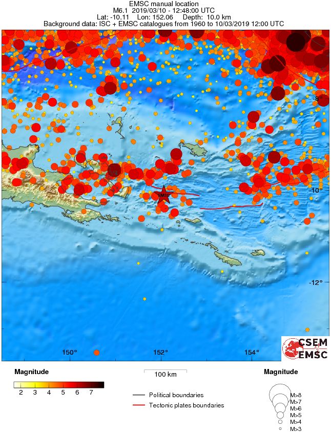
Regional seismicity
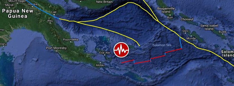
Featured image credit: Google, TW/SAM
Commenting rules and guidelines
We value the thoughts and opinions of our readers and welcome healthy discussions on our website. In order to maintain a respectful and positive community, we ask that all commenters follow these rules.