Massive California Highway 1 landslide seen from space
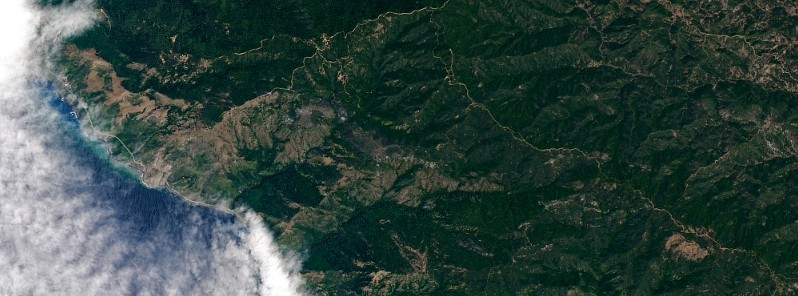
On the night of May 20, 2017, more than a million tons of rocks and dirt spilled over California's iconic Highway 1. The slide was so large it can be seen from space.
The slide covered roughly 530 m (0.3 miles) of the scenic route in 10 to 12 m (35 to 40 feet) of rubble, closing the highway for the forseeable future.
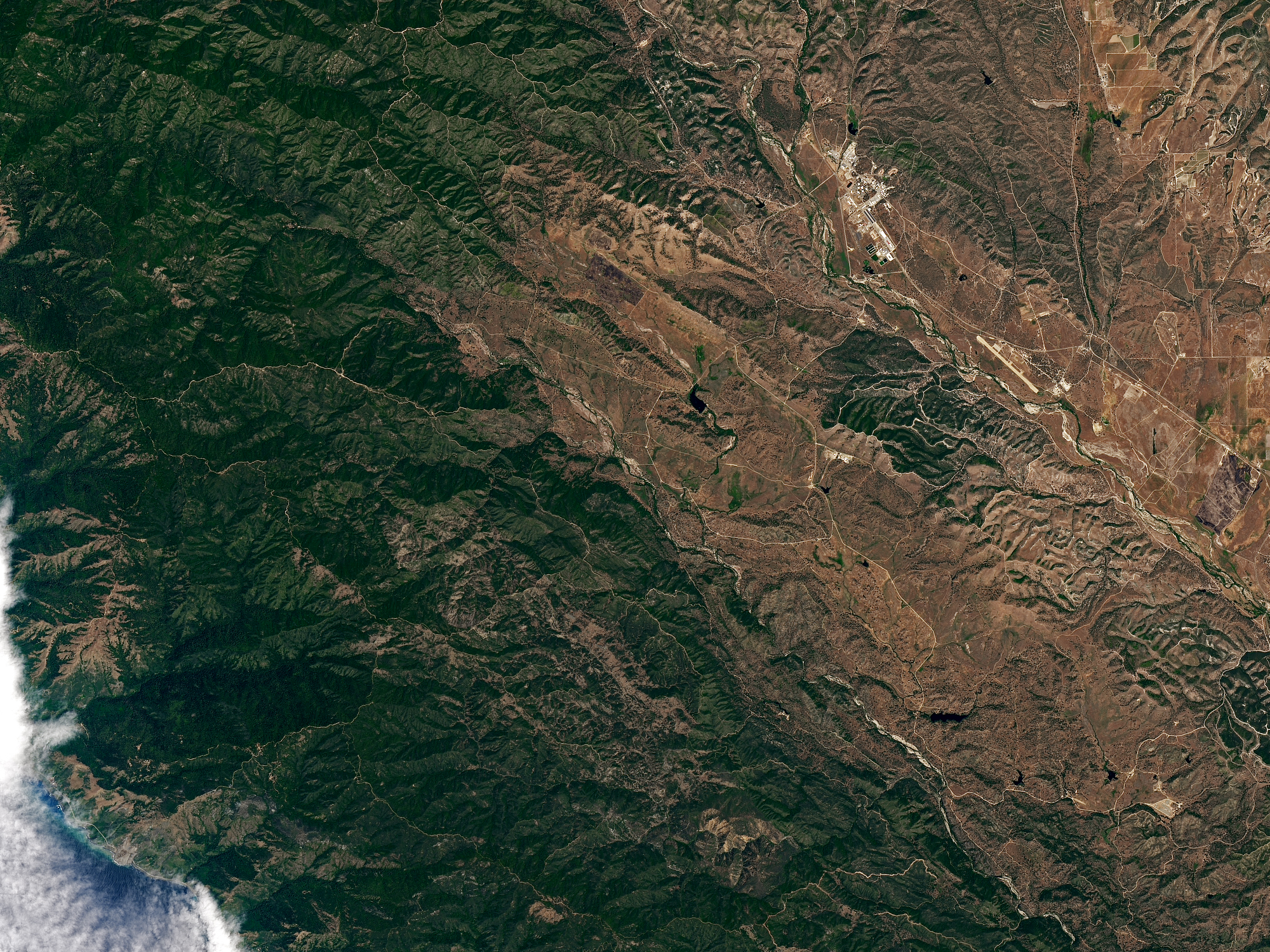
“This is a large slide preceded by smaller slides, which is not uncommon,” said Thomas Stanley, a geologist and researcher for NASA. “Much of the California coastline is prone to collapse, so it’s fortunate that this landslide happened in an unpopulated location.” In 2015, the Monterey County Environmental Resource Policy Department rated parts of the nearby coast as highly susceptible to landslides.
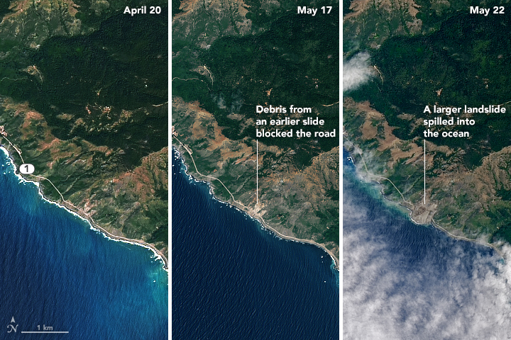
Images courtesy: NASA/Landsat 8 – OLI (April 20, May 22), ESA/Sentinel-2 (May 17)
Download high resolution images: April 20, May 17, May 22

Video courtesy CBS/Monterey County Sheriff's Office
Featured image credit: NASA/Landsat 8 – OLI
Commenting rules and guidelines
We value the thoughts and opinions of our readers and welcome healthy discussions on our website. In order to maintain a respectful and positive community, we ask that all commenters follow these rules.