







Latest articles
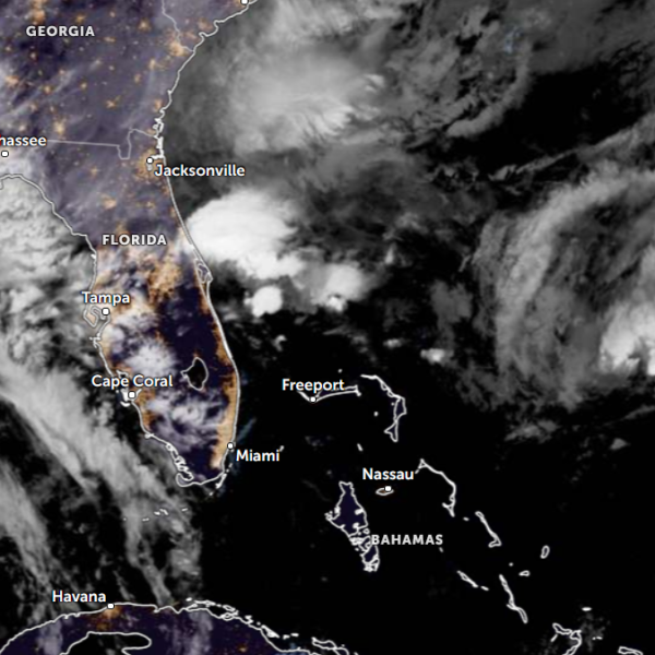
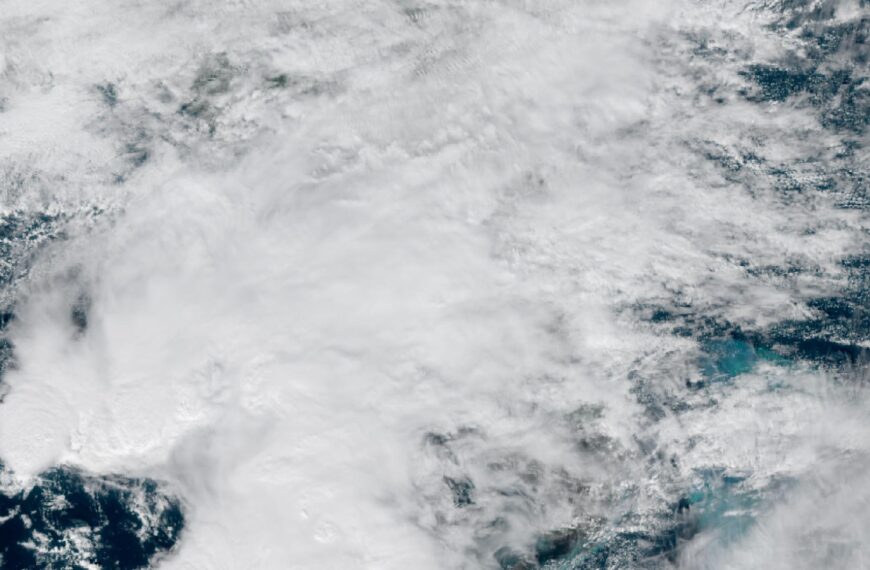
High Risk of excessive rainfall covers Florida’s Space Coast as St. Johns River near Cocoa reaches 5.67 m
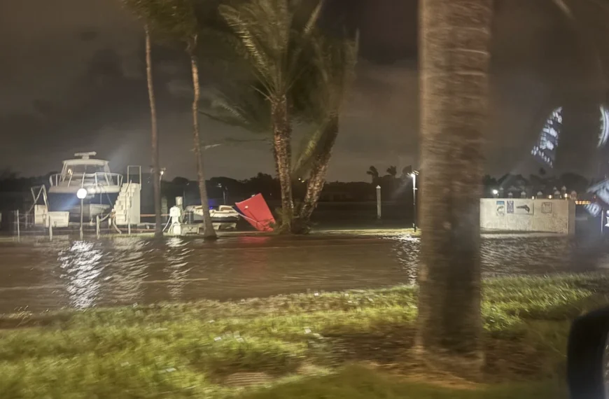
Parts of Florida’s east coast between Daytona Beach and Melbourne face a High Risk of excessive rainfall from 12:00 UTC Friday, November 20, through 12:00 UTC Saturday, November 21, after multiple reports of 152–305 mm (6–12 inches) of rain in…
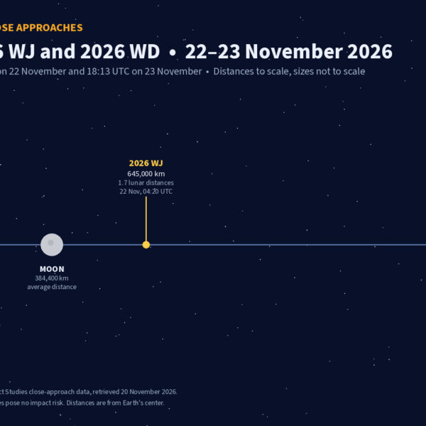
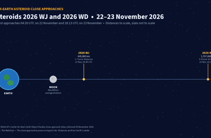
Four small asteroids will pass close to Earth from November 21 to 23
Four small near-Earth asteroids are expected to pass within 4.5 lunar distances of Earth between November 21 and 23, 2026, according to current NASA/JPL close-approach solutions. The closest, 2026 WA1, will pass about 474 000 km (295 000 miles) from…
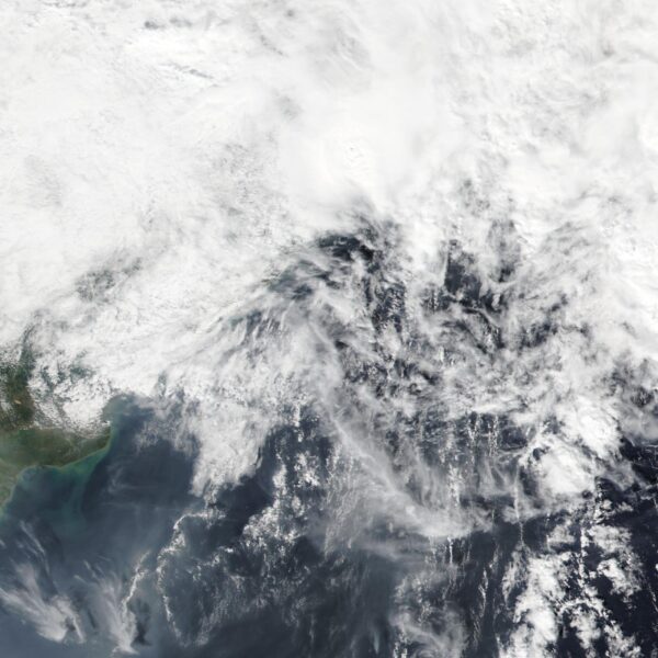
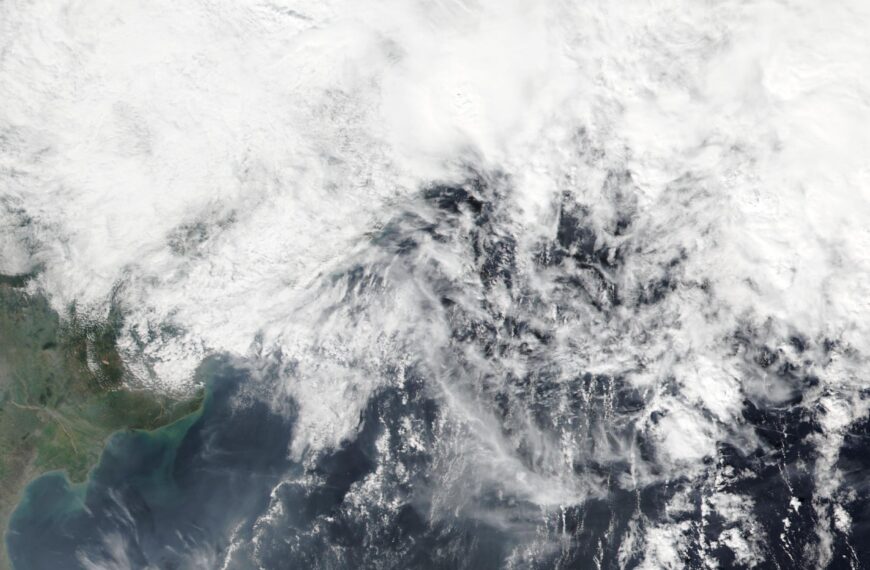
Cyclone Akvan weakens after landfall near Gopalpur; more than 300 000 evacuated in Odisha, India
Cyclone Akvan crossed the north Andhra Pradesh and south Odisha coasts near Gopalpur between 02:00 and 03:00 UTC (07:30–08:30 IST) on November 20, 2026, with sustained winds of 70–80 km/h (43–50 mph) and gusts to 90 km/h (56 mph), the…
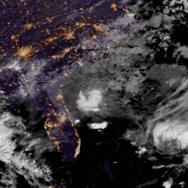
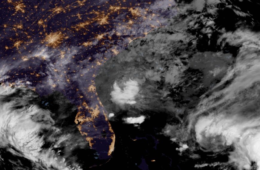
A broad low over southeastern Florida and the northwestern Bahamas has a 30 percent chance of subtropical or tropical development within 48 hours and a 50 percent chance within 7 days, the National Hurricane Center says
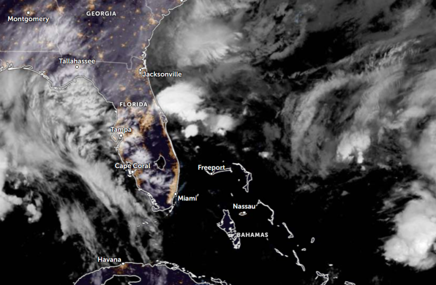
The National Hurricane Center said a broad low over southeastern Florida, the northwestern Bahamas and adjacent waters has a 30 percent chance of becoming a subtropical or tropical cyclone within 48 hours and a 50 percent chance within 7 days.…
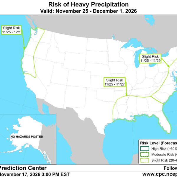
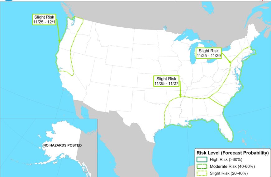
CPC posts a slight risk of heavy rain from the Gulf Coast to the Northeast urban corridor November 25-29, and a moderate risk of West Coast wind and Sierra snow on November 25
The Climate Prediction Center’s week-2 hazards outlook, issued November 17, posts a slight risk of heavy precipitation for the Gulf Coast, Tennessee and Lower Mississippi Valleys and the Southeast on November 25-27, and for the Mid-Atlantic and Northeast urban corridor…
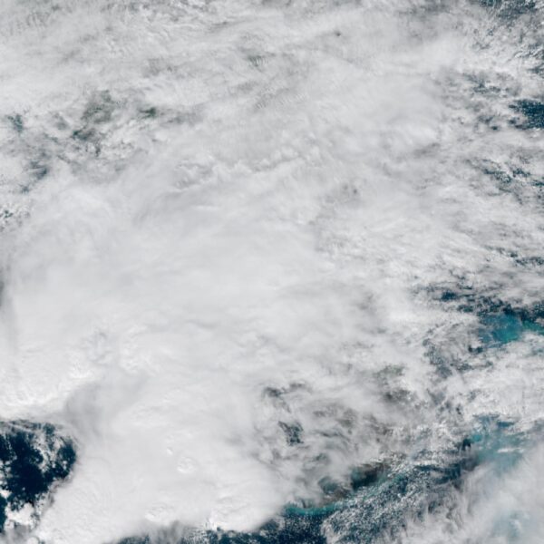
Florida’s east coast faces a moderate flash flood risk Wednesday through Friday, with 4 to 8 inches of rain forecast and the St. Johns River near Cocoa already in major flood at 17.13 feet
The Weather Prediction Center has a moderate, or level 3 of 4, risk of flash flooding on Florida’s east-central and northeast coast Wednesday through Friday. The Florida Division of Emergency Management forecasts 4 to 8 inches of rain along the…
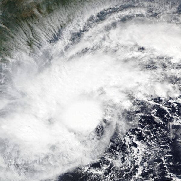
Cyclone Akvan to make landfall between Nellore and Visakhapatnam around noon on November 20, IMD forecasts 120-130 km/h winds gusting to 145
The India Meteorological Department forecasts Cyclone Akvan will cross the Andhra Pradesh and Yanam coasts between Nellore and Visakhapatnam around noon on November 20 as a very severe cyclonic storm, with maximum sustained winds of 120 to 130 km/h, gusting…
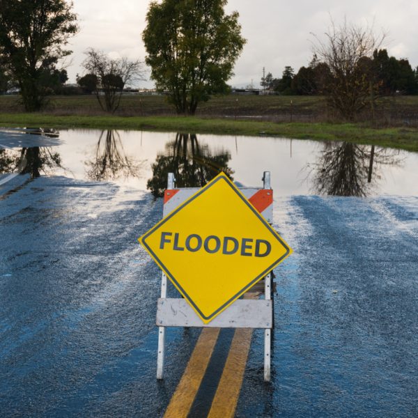
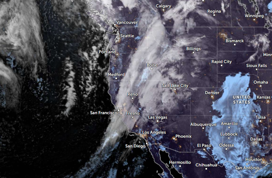
The storms drenching California this week are fed by a river in the sky, a band of water vapor that can carry up to 15 times the flow of the Mississippi River, and this winter’s near-record El Niño could keep aiming more of them at the West Coast
Across California this week, people are clearing gutters, filling sandbags and checking road closures. Forecasters expect flooding rain from the Bay Area to San Diego, heavy snow in the Sierra Nevada and strong winds, with the worst of it on…

Right about now, Voyager 1 is crossing a line no human-made object has ever reached, a full light-day from Earth, which means a message NASA sends tonight won’t arrive until tomorrow night, and the spacecraft’s answer won’t make it home until the night after that
At 10:16 UTC on Wednesday, November 18, a spacecraft about the size of a small car will slip past a boundary no human-made object has ever crossed. Voyager 1 will be one light-day from Earth, roughly 16.1 billion miles away.…
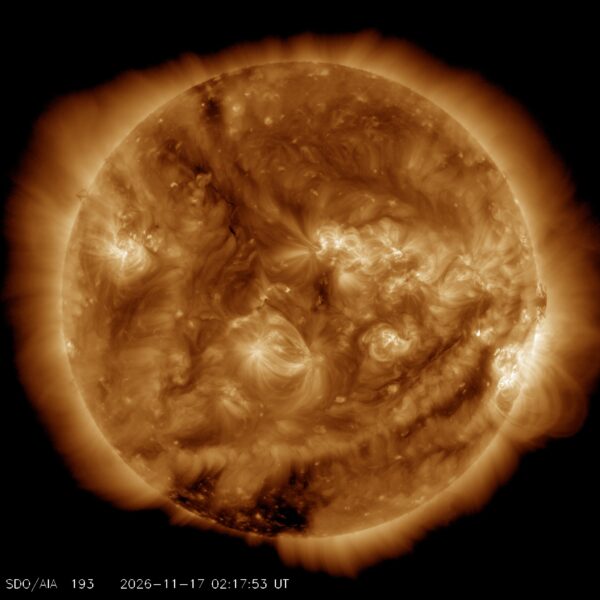
G1 geomagnetic storm watch remains in effect as NOAA forecasts Kp 4.67 late on November 17 and early on November 18
NOAA’s Space Weather Prediction Center is forecasting isolated G1 geomagnetic storms late on November 17 and early on November 18, with Kp expected to reach 4.67, driven by a coronal hole high-speed stream and a low-confidence glancing CME.
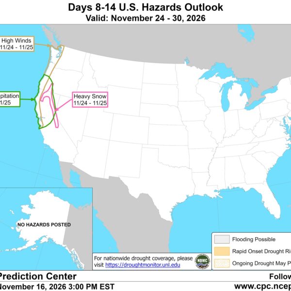
Atmospheric river brings moderate risk of heavy rain, mountain snow and high winds to northern California and southwest Oregon on November 24-25
The Climate Prediction Center posted a moderate risk of heavy rain, mountain snow and high winds for northern California and southwestern Oregon on November 24-25, associated with a strong pulse of Pacific moisture. The storm is separate from the atmospheric…
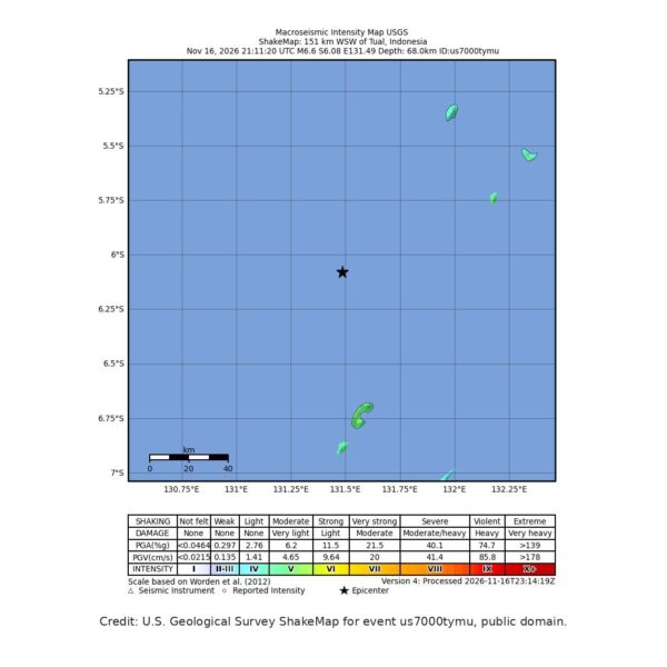
M6.6 earthquake hits the Banda Sea 148 km west-southwest of Tual, Indonesia, at 68 km depth, USGS issues Green alert
A magnitude 6.6 earthquake struck the Banda Sea 148 km west-southwest of Tual, Indonesia, at 21:11 UTC on November 16, the U.S. Geological Survey reported. USGS issued a Green alert, and BMKG said the earthquake did not have tsunami potential.
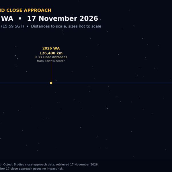
Asteroid 2026 WA passed Earth at 126,400 km, about a third of the Moon’s distance, at 07:59 UTC on November 17
Asteroid 2026 WA passed Earth at 07:59 UTC (15:59 SGT) on November 17 at about 126,400 km, or roughly a third of the Moon’s distance, according to NASA’s Jet Propulsion Laboratory. The close approach posed no impact risk.
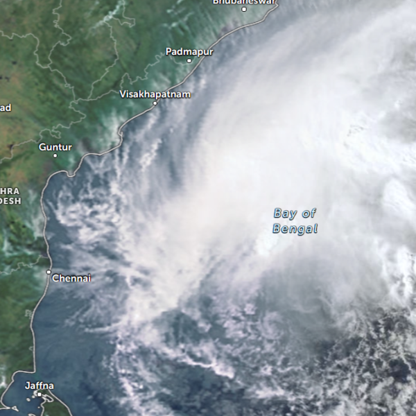
Bay of Bengal system to become Cyclone Akvan, landfall forecast between Nellore and Tuni on November 20, India
Cyclonic Storm Akvan was over the southern Bay of Bengal at 03:00 UTC (08:30 IST) on November 17, with sustained winds of 70–80 km/h (43–50 mph) and gusts to 90 km/h (56 mph). The India Meteorological Department (IMD) forecasts it…
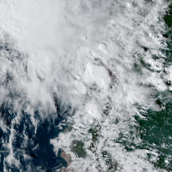
El Niño floods kill 2 in Guayaquil as 172.8 mm of rain swamps Milagro, Ecuador’s toll rises to 14
Floods in Guayas province killed two people in Guayaquil and left two missing on November 13, after 172.8 mm of rain fell overnight in Milagro. SNGR now counts 14 El Niño deaths in Ecuador since August 29.
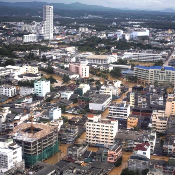
Southern Thailand braces for heavy rain, 15 provinces on flood and landslide alert for November 18-22
Thailand’s DDPM has put 15 central and southern provinces on alert for flash floods and landslides from November 18 to 22 as a strengthening northeast monsoon brings heavy to very heavy rain to the south.
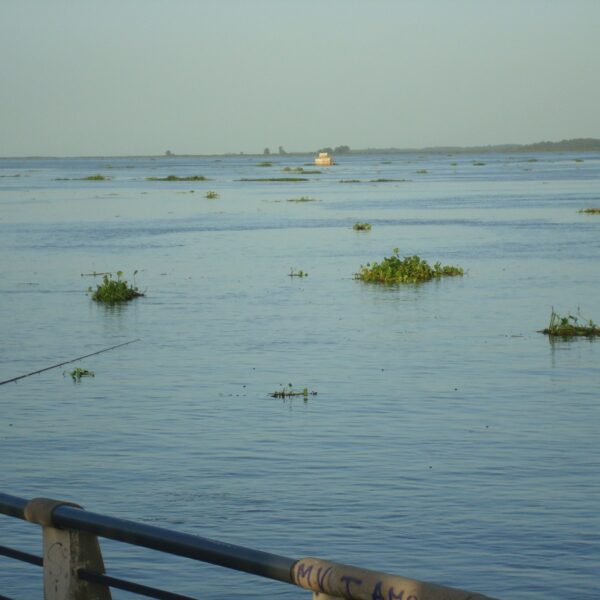
Paraná River floods force 4 547 from homes as water tops evacuation levels in 10 Argentine towns
The Paraná River is above evacuation levels in ten localities in Chaco, Corrientes, Santa Fe and Entre Ríos, with 4 547 people evacuated, and INA expects it to keep rising at Santa Fe and Rosario through late November.
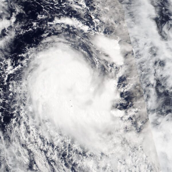
Tropical Cyclone Xavier reaches Category 2 over Northern Cook Islands, gale warning for Manihiki and Rakahanga
RSMC Nadi has already classified Tropical Cyclone Xavier as a Category 2 system near the Northern Cook Islands, with a gale warning for Manihiki and Rakahanga, and forecasts it could become a severe tropical cyclone on November 17.

Weipa hits 41 straight days above 36°C as severe heatwave grips Far North Queensland through November 19
Weipa has recorded 41 consecutive days above 36°C, its longest run on record, and BoM expects severe heatwave conditions on Cape York Peninsula to intensify, with highs in the high 30s to low 40s °C through November 19.
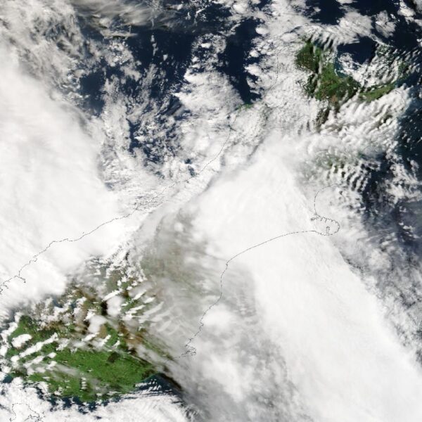
190 mm of rain and 131 km/h gusts hit New Zealand’s South Island, flooding West Coast highways
An active front dropped 190 mm of rain on the South Westland ranges and 163 mm at Franz Josef, with a 131 km/h gust on Banks Peninsula, as flooding prompted warnings on West Coast state highways on November 16.
