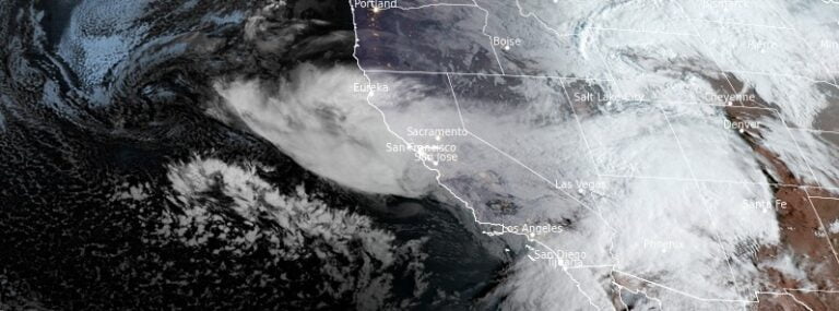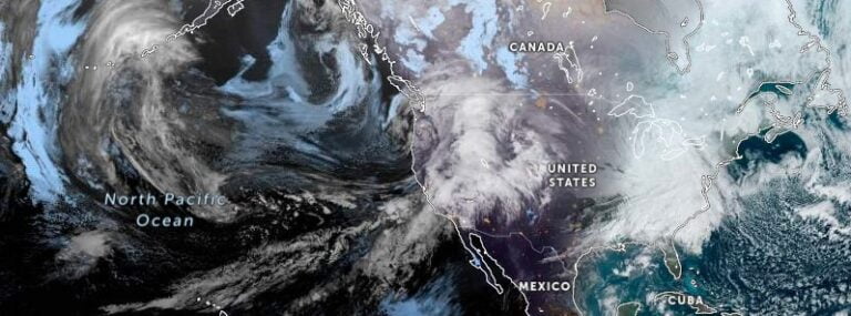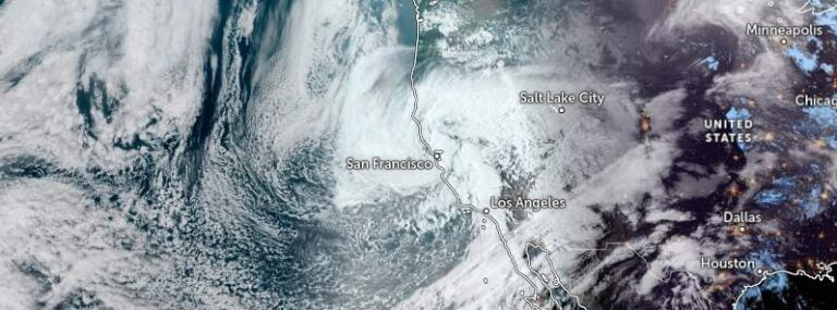
More than 700 000 people lost power, 5 killed as heavy rainfall and strong winds hit California, U.S.
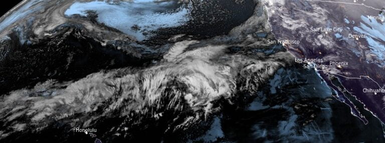
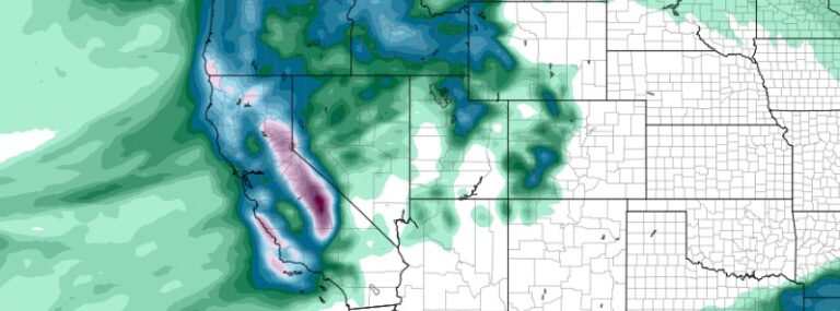
Southern California faces a barrage of extreme weather as record-breaking rainfall, powerful wind gusts, and widespread power outages impact the region. At least 5 people lost their lives. While the torrential downpour provides relief from the long-term drought, it brings additional challenges, including flooding, flight cancellations, and complications for communities in the mountains still recovering from recent snowstorms.