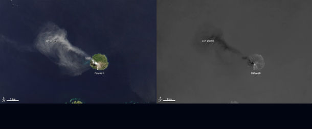
• Landsat`s thermal sensor illuminates from volcanic heat

    While the Landsat Data Continuity Mission (LDCM) flew over Indonesia’s Flores Sea on April 29, 2013, the satellite’s Operational Land Imager (OLI) took a natural-color photo of Paluweh volcano pluming ash.The Thermal Infrared Sensor (TIRS) on LDCM got an

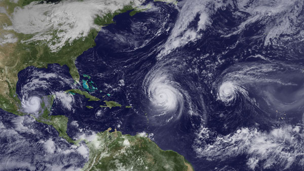
  • Dust by Senegal River and Cap-Vert Peninsula, West Africa

    Dust from the Sahara Desert blows westward off the coast of West Africa. The dust is thickest around the border between Mauritania and Senegal, with plumes visible just north of the Senegal River and the Cap-Vert peninsula, extending west from the main sandy areas of

  • Arctic amplification

    Since the mid-20th Century, average global temperatures have warmed about 0.6°C (1.1°F), however, warming has not occurred equally everywhere. Temperatures have increased about twice as fast in the Arctic as in the mid-latitudes, a phenomenon known as

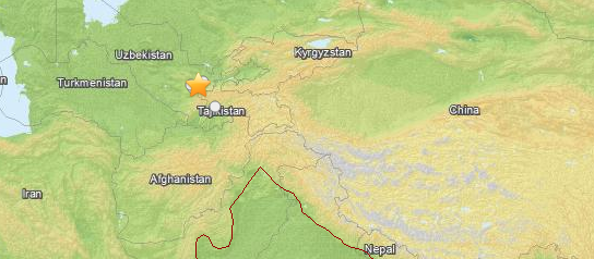
  • Dangerous earthquake M 5.8 struck southeastern Uzbekistan

    Shallow earthquake M 5.8 (USGS) struck southeastern Uzbekistan on May 26, 2013 at 06:18 UTC. By preliminary reports USGS is reporting depth of 19.4 km, EMSC is reporting M 6.0 and depth at 10 km. GFZ is reporting M 5.8 at depth of 15

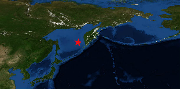
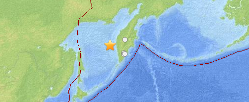
  • Massive and deep earthquake M 8.3 struck Sea of Okhotsk

    A massive but deep earthquake M 8.3 struck Sea of Okhotsk on May 24, 2013 at 05:49 UTC. By preliminary reports, USGS has measured depth od 601 km, EMSC 599 km. The epicenter was about 403 km WNW of area previously reported for strong earthquake swarm,