Huge storm produced tornado-like cloud over Atlantic County, New Jersey, US

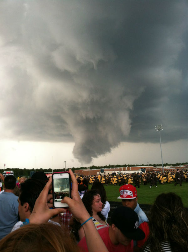
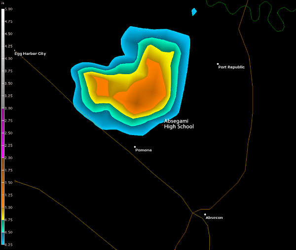
A severe storm producing dangerous lightning, loud booms of thunder, high winds, large hail and scary clouds hit Atlantic County, New Jersey during the evening hours on June 7, 2012. Storm produced something that could be described as tornado-like semi-funnel. Many thought that the cloud was a funnel cloud, which is defined as a rotating column of air that does not reach the ground (visible due to condensation). Funnel clouds that reach all the way to the ground are tornadoes.

National Weather Service reported a funnel cloud in Galloway Township. However, NWS stated that it could be developing wall cloud. AccuWeather.com meteorologists were skeptical of it being a funnel cloud as well, since there was no apparent rotation in the cloud. It appears that the cloud was a result of condensation that occurred as humid air was rapidly lifted into the storm.

Sources: NWS, AccuWeather, Capital Weather Gang, ShoreNewsToday

Commenting rules and guidelines
We value the thoughts and opinions of our readers and welcome healthy discussions on our website. In order to maintain a respectful and positive community, we ask that all commenters follow these rules.