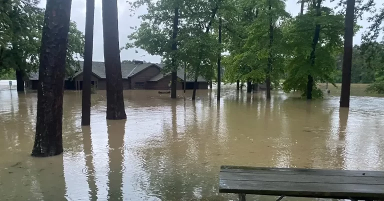
• Major flooding and mandatory evacuations in southeast Texas

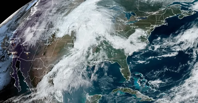
    Southeastern Texas experienced severe flooding this week, affecting areas from College Station to Houston. The flooding has led to the overflowing of rivers, including the Trinity and San Jacinto, causing significant disruptions and leading to urgent evacuations. Heavy rain and flooding continued into Friday, May 3, 2024.
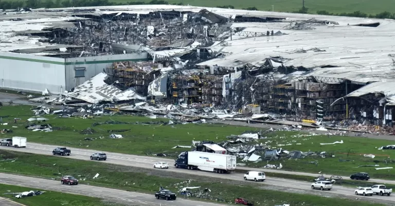
  • Destructive tornado outbreak strikes Nebraska and Iowa, EF2 – EF5 tornado threat continues into Sunday, U.S.

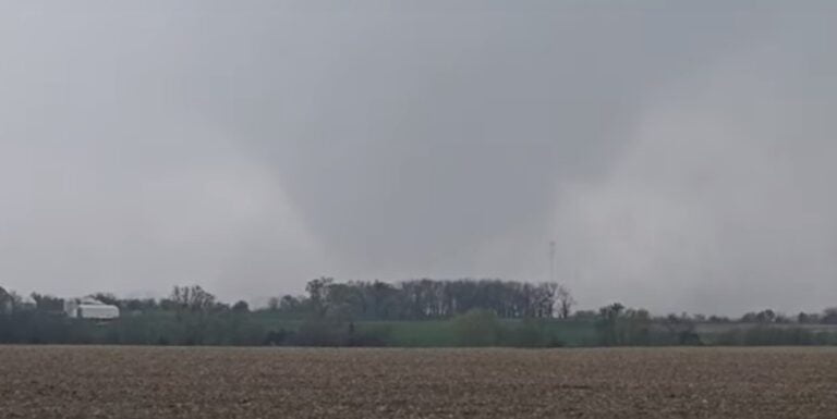
    A destructive tornado outbreak with at least 78 tornadoes impacted the U.S. Plains on Friday, April 26, 2024, leaving a trail of damage and more than a dozen injuries. The outbreak occurred as a part of a multi-day severe weather threat covering over 60 million Americans. The threat of EF2 – EF5 tornadoes will continue into Sunday, April 28.

  • Severe thunderstorms in northwest Texas

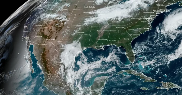
    Severe thunderstorms are forecasted for northwest Texas this afternoon and evening, April 23, 2024, with the potential for large hail and damaging wind gusts. This weather shift comes as part of a broader pattern affecting the Great Plains and Midwest, initiated by a developing upper trough over the western U.S. and a series of cold fronts impacting the Great Lakes and Ohio Valley. The Storm Prediction Center has issued a Slight Risk alert for northwest Texas today due to these conditions.

  • Softball-sized hail causes extensive damage in Rock Hill, South Carolina

    A powerful storm rolled over South Carolina on April 20, 2024, bringing strong winds, heavy rain, and golf to softball-sized hail. The storm system affected the larger areas of Lancaster and York counties but focused its most intense effects in northeast-central York County, causing significant structural damage and power outages.

  • Enhanced Risk of Severe Weather (level 3/5) for portions of southern Iowa, northeastern Missouri, and far western Illinois

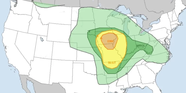
    There is an Enhanced Risk (Level 3 of 5) for severe thunderstorms on Tuesday, April 16, 2024, with threats for significant severe hail and tornado potential over southern Iowa into northern Missouri and west-central Illinois, the National Weather Service (NWS) warns. Additionally, elevated to critical fire weather is possible Tuesday due to gusty winds and dry conditions over parts of the southern High Plains and northeastern Montana.