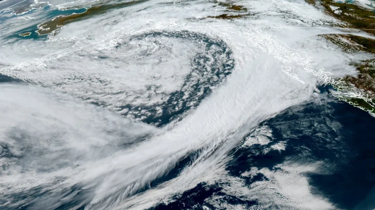
• Storm parade and strong atmospheric river forecast for southern B.C., heavy rain into the weekend

    A strong atmospheric river is forecast to shift southward along the British Columbia coast between September 26 and 29, 2025, bringing several low-pressure systems and periods of heavy rainfall to Vancouver Island and the South Coast. Forecasts suggest up to 100 mm (4 inches) of rain in west-facing coastal mountains, with persistent showers likely across the Lower Mainland.

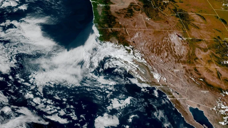
  • Heavy to excessive monsoon rainfall forecast over the Desert Southwest, isolated flash flooding risk

    Heavy to excessive rainfall from monsoon thunderstorms may bring isolated flash and urban flooding to the Desert Southwest into Sunday, September 28, 2025. A plume of anomalously high monsoonal moisture streaming northward on the eastern flank of a slow-moving upper-level low will fuel several rounds of widespread showers and thunderstorms, with greatest impacts expected across southeastern Arizona and southwestern New Mexico.

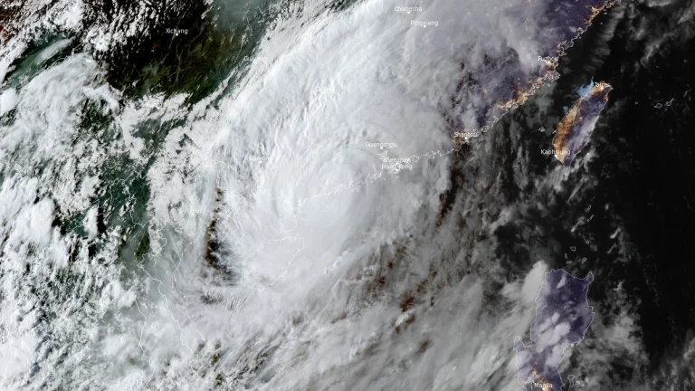
  • Tropical Storm Bualoi (Opong) forecast to make landfall in Bicol on September 26

    Tropical Storm Bualoi, known in the Philippines as Opong, intensified over the Philippine Sea on September 24, 2025, moving west-northwest at 20 km/h (12 mph) with winds of 95 km/h (59 mph) and gusts up to 115 km/h (71 mph). PAGASA forecasts landfall in the Bicol Region on September 26, with warnings issued for heavy rainfall, flooding, and storm surge of up to 3 m (10 feet) along eastern coastal provinces.

  • Thunderstorms shift east bringing flood risk for New England and New York City area

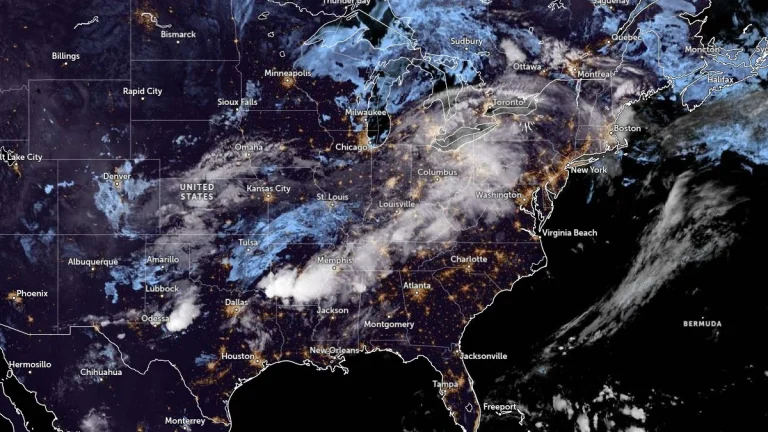
    Widespread thunderstorms are forecast across the United States on Wednesday and Thursday, September 24 and 25, 2025, as a cold front advances eastward. The Weather Prediction Center (WPC) has issued a Slight Risk of Excessive Rainfall for parts of the Ohio and Tennessee Valleys, while isolated flash flooding is possible in southern New England and the New York City metropolitan area as storms reach the Northeast.

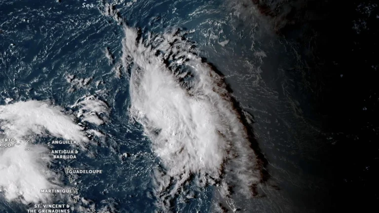
  • NHC monitoring two tropical waves in the Atlantic basin

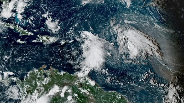
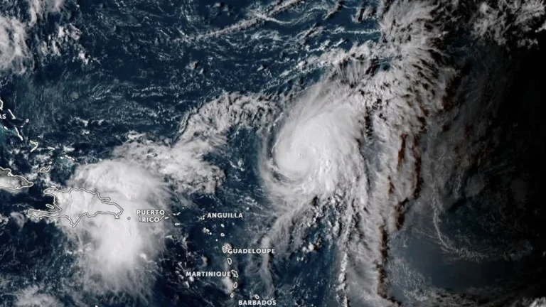
    A tropical wave over the northeastern Caribbean Sea is producing showers, thunderstorms, and gusty winds across the Windward and Leeward Islands on September 24, 2025. The National Hurricane Center (NHC) said the disturbance will spread heavy rainfall and gusty winds into Puerto Rico and the Virgin Islands later today and into the Dominican Republic tonight, with conditions becoming more favorable for development later this week near the Bahamas. Another wave, located about 1 125 km (700 miles) east of the Leeward Islands, also has a high chance of becoming a tropical depression in the coming days.

  • Hurricane Gabrielle forecast to approach Azores on Thursday, September 25

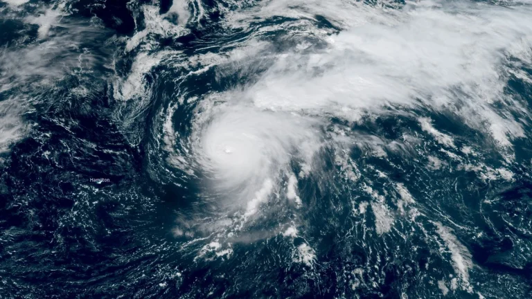
    A Hurricane Watch was issued for all islands of the Azores at 11:00 AST (15:00 UTC) on Tuesday, September 23, 2025, as Category 4 Hurricane Gabrielle moves east-northeastward over the North Atlantic. The system is forecast to approach the archipelago late Thursday, bringing the risk of hurricane-force winds, storm surge, and 75–125 mm (3–5 inches) of rainfall to the central and western islands. Swells are already affecting Bermuda, the U.S. East Coast, and Atlantic Canada.