• World earthquakes visualization map 2012-2013

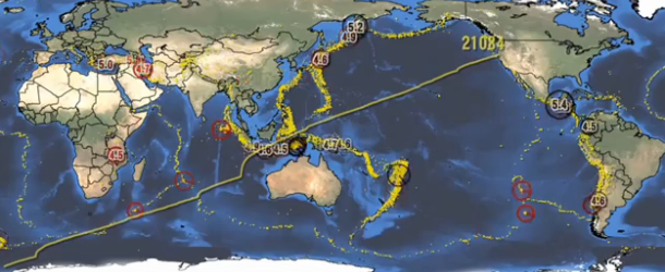
    World Earthquakes Visualization Map shows  animation of earthquake activity from January 2012 until May 2013.

    Worldwide Earthquakes of 2012. All recorded earthquakes greater than magnitude 4.0 are shown for the full year, along with their depths and
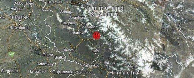
  • Strong and shallow earthquake M 5.4 struck eastern Kashmir

    A strong and shallow earthquake M 5.4 struck eastern Kashmir region, India on Wednesday, May 01, 2013 at 06:57 UTC. Epicenter of the earthquake was located 17 km (10 miles) NE of Bhadarwah, India and 23 km (14 miles) SSE of Kishtwar, India at

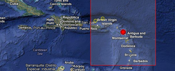
  • Strong M 5.3 earthquake off the coast of Antigua and Barbuda

    A strong earthquake registered as M 5.3 occurred off the coast of Barbuda, eastern Caribbean, on April 30, 2013 at 06:56 UTC. The epicenter was located in sea, about 50 km off the coast or 37 km (22 miles) WSW of Codrington, Barbuda, 51 km (31 miles) NW of Saint

  • Deadly earthquake and flash floods hit northern Afghanistan

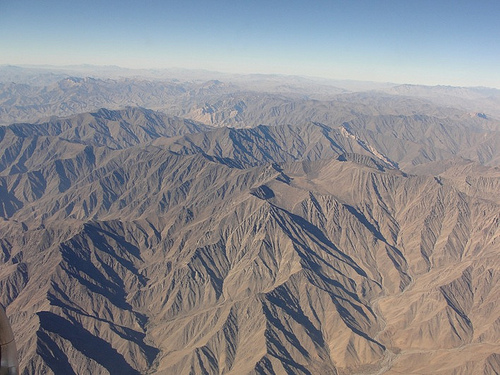
    A deadly earthquake magnitude 5.6 (USGS) struck Hindu Kush, northeastern Afghanistan, on April 24, 2013 at 09:25 UTC (13:55 local time). Epicenter was located in Nangarhar province, 11 km (6 miles) S of Mehtar Lam, Afghanistan and 25 km (15 miles)

  • Strong earthquake M 6.5 struck New Ireland Region, Papua New Guinea

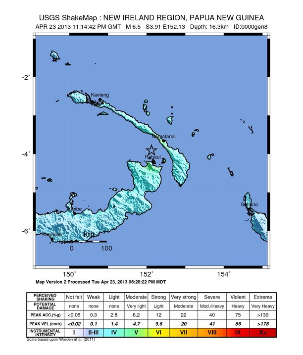
    A strong earthquake M 6.5 struck New Ireland Region, Papua New Guinea on Tuesday, April 23, 2013 at 23:14 UTC. Epicenter of the earthquake was located 30 km (18 miles) N of Rabaul, Papua New Guinea and 50 km (31 miles) NNW of Kokopo, Papua

  • M 6.1 earthquake struck near Izu Islands, Japan

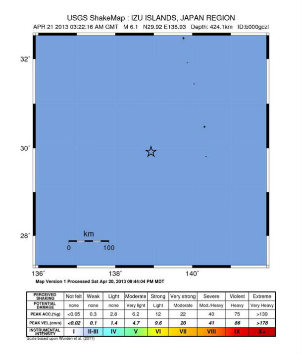
    Magnitude 6.1 earthquake  (USGS) struck near Izu Island, Japan on April 21, 2013 at 03:22 UTC. The epicenter was located 360 km (223 miles) SSW of Hachijo-jima and 506 km (314 miles) SE of Shingu, Japan at coordinates 29.915°N,

  • M 6.0 earthquake struck east of Kuril Islands

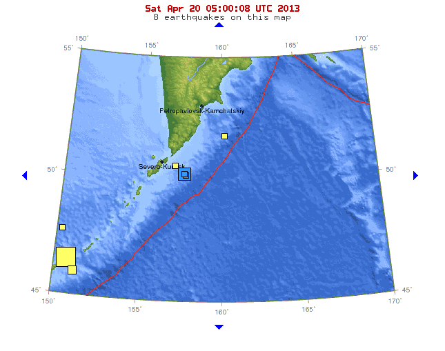
    Magnitude 6.0 earthquake (USGS) struck east of Kuril Islands on Friday, April 19, 2013 at 19:58:40 UTC. The epicenter was located 133 km (82 miles) SE of Severo-Kuril’sk and 333 km (206 miles) S of Vilyuchinsk, Russia at coordinates 49.938°N, 157.639°E. The depth

  • Very strong and deep earthquake M 7.2 struck Kuril Islands

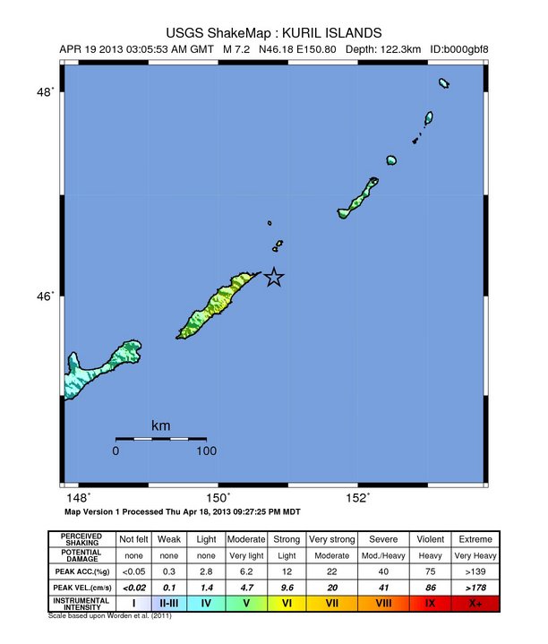
    A very strong but luckily deep earthquake magnitude 7.2 struck off the coast, sparsely populated, Kuril Islands on April 19, 2013 at 03:05 UTC. USGS reports depth of 122 km, EMSC measured 100km. A tsunami was not generated and no tsunami warning was issued. JMA still