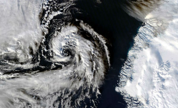
• Powerful Arctic storm ‘bombing out’ in North Atlantic

    Ten  days after a severe storm underwent a process of rapid intensification over the North Pacific Ocean, pummeling the western Aleutian Islands of Alaska with hurricane force winds and high waves, another serious storm system is taking place right now in the open
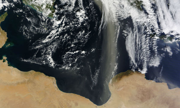
  • Dust plumes from Sahara over Mediterranean Sea

    A plume of Saharan dust, extending roughly 1,110 kilometers (700 miles), spanned the Mediterranean Sea in late January 2013. A swath of dust blows northward from the Sahara Desert in Libya, over the Gulf of Sidra, past the western end of the Jebel Akhdar

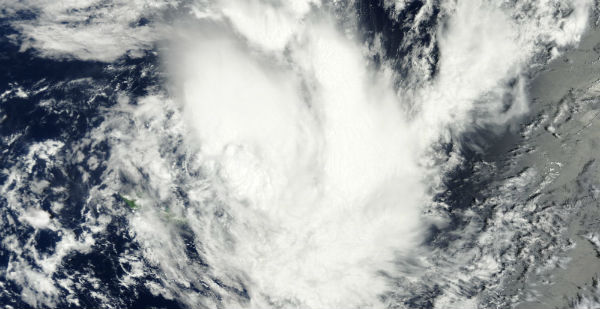
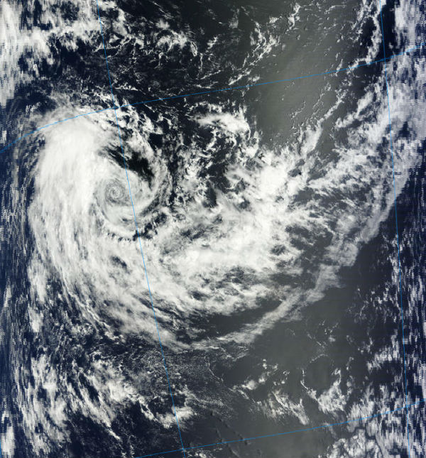
  • Tropical Cyclone Garry formed in South Pacific

    The tenth tropical cyclone in the Southern Pacific Ocean season gained its strength north of Samoa in South Pacific Ocean. This tropical disturbance was named Garry (TC 10P) on January 22, 2013 as it was passing near Samoa. A gale warning remained  in effect for

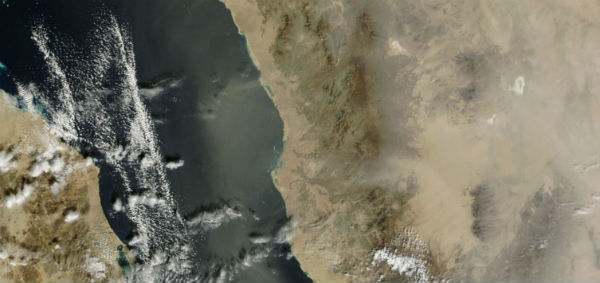
  • Dust over Saudi Arabia and Red Sea

    Dust can be seen in the air over Saudi Arabia and blowing westward over the Red Sea. Unsettled weather is typical in Saudi Arabia in winter, with strong winds a frequent occurrence. The Rub’ al Khali desert, the world’s largest sand sea, covers large parts of the

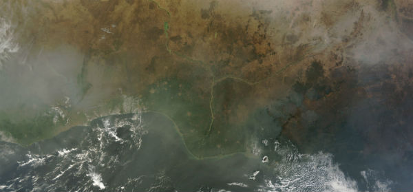
  • West Africa veiled by dust and smoke

    Dust from the Bodélé Depression, in the Sahara Desert, blows southwestward towards Lake Chad, and can also be seen south of the lake. The lower portion of the image is also covered by a hazy veil, although this is due to fires in Chad and the Central African Republic

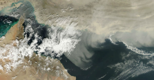
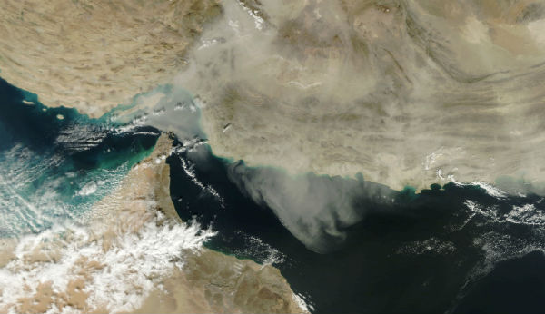
  • Dust storm over Iran

    A dust storm can be seen spreading over eastern Iran and western Pakistan and over Arabian Sea. The dust blows southward, over the coast of the Arabian Sea, Gulf of Oman and Strait of Hormuz.

    Dust plumes captured by MODIS/Terra satellite on January 17, 2013

  • Shamal and dust storms over Southwest Asia

    Dust blows off the coast of Iran and over the Strait of Hormuz and the Gulf of Oman. In winter time dust storms are associated chiefly with the passage of westerly depressions in this region.This dust storm may be connected to a local phenomenon known as the

  • Tropical Cyclone Emang picks up speed

    According to latest report by Joint Typhoon Warning Center (JTWC), Tropical Cyclone Emang was located approximately 500 nm east- southeast of Diego Garcia, and was moving at speed of 5 knots. Animated infrared (IR) satellite imagery depicts a partially exposed

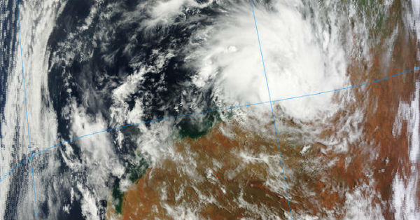
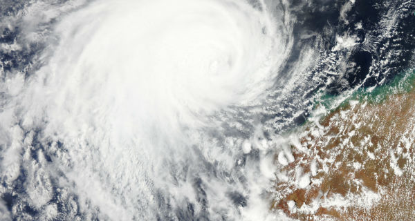
  • TC Narelle has begun a steady weakening trend

    Tropical Cyclone Narelle has begun a steady weakening trend and it is now classified as Category 1 storm with sustained winds of 145 km/h (90 mph). Narelle peaked yesterday with winds of 210 km/h (130 mph) as category 3 storm. TC Narelle captured by Terra/MODIS