Severe thunderstorms hit Kansas and Oklahoma with strong winds, baseball-sized hail and tornadoes
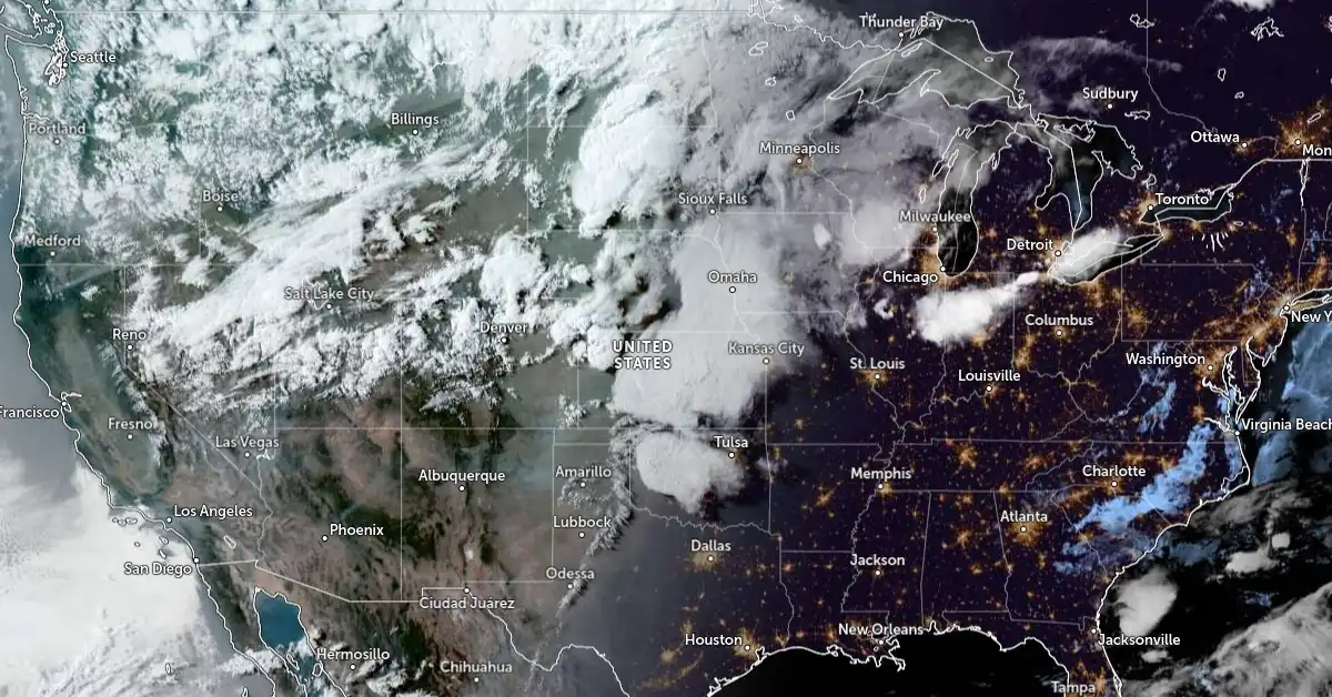
Severe thunderstorms swept through the central U.S. on Sunday, May 19, 2024, producing strong winds and heavy rains, baseball-sized hail, and several tornadoes in Colorado, Kansas, and Oklahoma.
- Severe thunderstorms will continue to be likely across the Central Plains into the Midwest on Monday, May 20, NWS warns.
- Thunderstorm development is also possible in portions of the Middle Mississippi Valley to Lower Michigan on Monday afternoon (LT).
Severe thunderstorms battered the central United States on Sunday, May 19, 2024, resulting in significant damage across several states. The National Weather Service (NWS) issued multiple Tornado, Severe Thunderstorm, and Flash Flood warnings as the storms brought strong winds, heavy rains, and large hail, as well as multiple tornadoes.
The NWS Storm Prediction Center reported 13 tornadoes in Colorado, Kansas, and Oklahoma on Sunday.
One tornado crossed Interstate 70 west of Russell, Kansas, causing substantial damage to the electric distribution system, homes, businesses, and vehicles, with at least three structures leveled.
Widespread damage was also reported around Wichita, Kansas, where winds reached 120 km/h (75 mph), FOX Weather reported.
The town of Newton, north of Wichita, was hit particularly hard, and winds up to 130 km/h (80 mph) were reported in Whitewater, northeast of Wichita. A wind gust of 160 km/h (100 mph) was reported at the airport in Salina, Kansas, on Sunday evening, and a gust of 145 km/h (90 mph) near Fowler, Kansas.
Hail between 6.4 cm and 7.6 cm (tennis ball- and baseball-sized) was reported with several storms. The largest hail reported to the NWS on Sunday evening was 7.6 cm (3 inches) in Ellis, Kansas.
The NWS warned that severe thunderstorms are likely to continue across the Central Plains into the Midwest on Monday, May 20. Thunderstorm development is expected in parts of the Middle Mississippi Valley to Lower Michigan on Monday afternoon.
NWS forecaster Putnam noted at 04:00 EDT on May 20 that an energetic upper-level pattern with multiple shortwaves from a broader long-wave trough over the western U.S. would continue to bring active weather to the central U.S. throughout the week.
On Monday, showers and thunderstorms are expected in the Upper Midwest and Great Lakes Region, with a Slight Risk of severe weather (level 2/5) for northeastern Illinois and adjacent Wisconsin and Indiana. There is also a risk of locally heavy downpours and isolated flash flooding.
Further west, lee cyclogenesis is anticipated over the central High Plains, with an Enhanced Risk of severe weather (level 3/5) over northeastern Colorado and southwestern Nebraska. Some robust storms may produce very large hail, significant damaging winds, and a few tornadoes. A broader Slight Risk extends northeastward along the front through the central Plains into the Upper Midwest.
Increasing storm coverage on Monday evening could bring isolated flash flooding from northeastern Colorado to northwestern Iowa. Moisture spreading into the northern High Plains and Rockies may result in moderate precipitation, with heavy snowfall possible at higher elevations.
On Tuesday, May 21, another shortwave from the western trough will bring a greater chance of severe weather and flash flooding to the Midwest. The surface low pressure system will deepen and move northeast from the Plains into the Upper Midwest, with a broad warm sector from the Southern Plains to the Upper Mississippi Valley. The Enhanced Risk of severe weather includes the potential for tornadoes, significant damaging winds, and large hail. Heavy downpours and isolated flash flooding are also possible in central and southern Minnesota and northwestern Wisconsin.
Lingering showers and thunderstorms will extend westward through the central Plains into the northern Rockies.
Thunderstorms remain possible over the Florida Peninsula through at least Tuesday.
A broad area of above-average temperatures is expected over much of the central and eastern U.S., with highs in the 27 – 32 °C (80s and 90s).
Sweltering heat continues in southern Texas and the southern High Plains, with highs reaching 38 °C (100s). This is complicating recovery efforts after severe thunderstorms swept through Houston on May 16, killing 7 people and leaving 2.2 million without power. As of early Monday, May 20, there are still over 225 000 customers without power — some 650 000 people.
NWS meteorologist Marc Chennard said temperatures will continue increasing, with heat risk further increasing from May 21 to May 22.
Cooler, below-average temperatures are expected in the Pacific Northwest, Great Basin, northern Rockies, and northern Plains, with highs in the 10 – 16 °C (50s and 60s). The Southwest will see closer-to-average temperatures with highs in the 27 – 32 °C (80s and 90s).
References:
1 Short Range Forecast Discussion – NWS WPC – 400 AM EDT Mon May 20 2024
2 ‘Significant damage’ reported as storms with 100-mph winds, baseball-sized hail rip across Kansas – FOX Weather – May 19, 2024
3 Hot weather poses new risk as thousands remain without power after deadly Houston storm – NBC DFW – May 18, 2024
Featured image credit: NOAA/GOES-East, Zoom Earth, The Watchers. Acquired at 00:30 UTC on May 20, 2024
Commenting rules and guidelines
We value the thoughts and opinions of our readers and welcome healthy discussions on our website. In order to maintain a respectful and positive community, we ask that all commenters follow these rules.