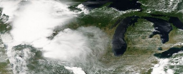
Satellite animation of storms that flooded the Midwestern U.S.
From June 16 through June 23 a series of thunderstorms dropped large amounts of rainfall on the Upper Midwest that caused flooding and spawned tornadoes. Visible and infrared data from NOAA's GOES-East satellite covering that period of time were compiled into an ani