• Active volcanoes in the world: October 3 – October 09, 2012

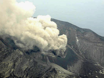
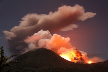
    New unrest has been noticed around 5 volcanoes, ongoing activity was reported for 8 volcanoes. This report covers active volcanoes in the world recorded from October 3 – October 9, 2012 based on Smithsonian/USGS criteria.The Weekly Volcanic Activity Report is a

  • Magnitude 6.4 shallow earthquake hit Balleny Islands region

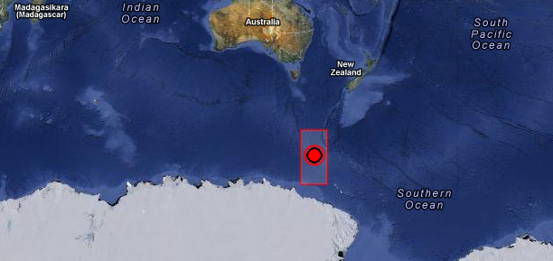
    Strong and shallow earthquake with recorded magnitude of 6.4 hit Balleny Islands region on October 9, 2012 at 12:32 UTC according to USGS. Epicenter was located 729 km (452 miles) NW of Young Island and 1875 km (1165 miles) SSW of Invercargill, New Zealand at

  • Shiveluch volcano eruption seen from space, Kamchatka

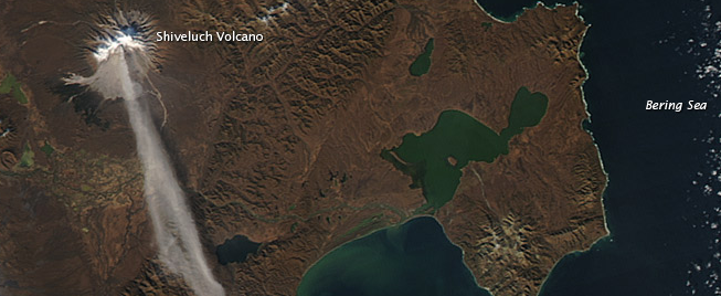
    When NASA’s Terra satellite passed over Russia’s Kamchatka Peninsula at noon local time (00:00 Universal Time) on October 6, 2012, Shilveluch Volcano was quiet (first image). By the time NASA’s Aqua satellite passed over the area

  • Two new low pressure areas formed in Atlantic

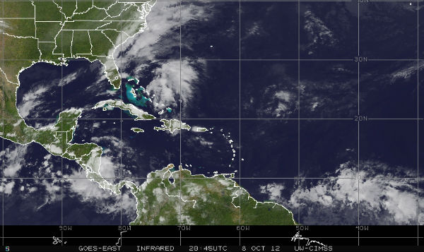
    A trough of low pressure (Invest 97L) is extending from southeastern Bahamas northward over the western Atlantic for a couple hundred miles. The system is producing disorganized showers and thunderstorm activity. Upper-level winds are forecast to become less conducive

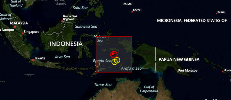
  • M 6.3 earthquake hit Banda Sea, Indonesia

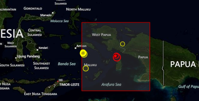
    An earthquake with recorded magnitude of 6.3 (USGS) hit Banda Sea, Indonesia on October 8, 2012 at 11:43 UTC. Epicenter was located 112 km (69 miles) SSE of Saparua, Indonesia at coordinates 4.442°S, 129.165°E. Recorded depth of this earthquake was 34.7 km

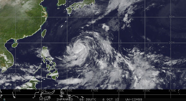
  • Tropical Storm Prapiroon formed in west Pacific

    Tropical Depression 22W become Tropical Storm Prapiroon on October 7 and now is located approximately 640 nm southeast of Kadena AB, Okinawa, Japan. The system is moving westward at 06 knots (11 km/h) over the past six hours. Maximum sustained winds are about 5o

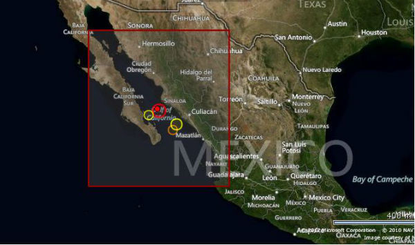
  • M 6.0 earthquake hit Gulf of California

    Earthquake M6.0 hit Gulf of California on October 08, 2012 at 06:26:22 UTC. The epicenter was located  93 km (58 miles) SSW (209°) from Ahome, Sinaloa and Los Mochis, Sinaloa, Mexico (25.182°N, 109.622°W) at depth of 10.1 km (6.3 miles) according to USGS.EMSC

  • September’s Wang Shan landslide in Gansu, China – videos

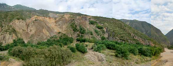
    Two members of the British Geological Survey landslide response team observed a landslide event at Wang Shan, China, on September 13, 2012.During a conference field trip around Gansu Province, the team captured a video of the landslide in progress; including the