• Mount Agung erupts ash 4.5 km a.s.l., Alert Level remains at 3

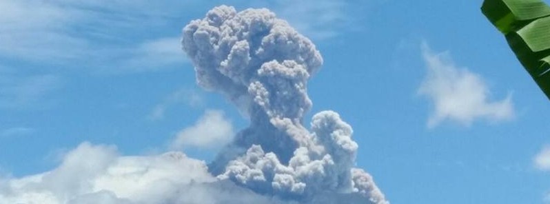
    Mount Agung erupted at 03:49 UTC on February 13, 2018, ejecting a column of ash up to 4.5 km (15 000 feet) above sea level, that's 1.5 km (5 000 feet) above the crater. The eruption comes two days after authorities lowered Alert Level from 4 to 3, the second…

  • Deadly floods and landslides hit Indonesia after extreme rainfall

    Floods and landslides left several people dead or missing and more than 6 500 people living in parts of South and East Jakarta displaced due to floods as authorities were forced to release water from a major reservoir in the city of Bogor on Monday, February 5,…

  • Shallow M6.0 hits near the coast of Java, Indonesia

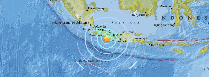
    A strong earthquake registered by the USGS as M6.0 hit near the coast of Java, Indonesia at 06:43 UTC on Tuesday, January 23, 2018. The agency is reporting a depth of 43.9 km (27.3 miles). EMSC reports M6.0 at a depth of 80 km (49.7 miles). According to the USGS,…

  • Strong phreatic eruption at Mount Agung, Bali, Indonesia

    A strong phreatic eruption started at Mount Agung, Bali, Indonesia at 09:30 UTC (17:30 WIB) on Saturday, November 25, 2017. This is the second eruption of this volcano since Tuesday, November 21. Although significantly stronger, the Alert Level remains at second…