• Active volcanoes in the world: October 3 – October 09, 2012

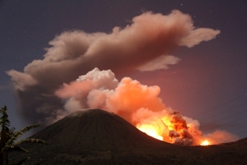
    New unrest has been noticed around 5 volcanoes, ongoing activity was reported for 8 volcanoes. This report covers active volcanoes in the world recorded from October 3 – October 9, 2012 based on Smithsonian/USGS criteria.The Weekly Volcanic Activity Report is a
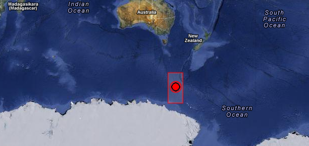
  • Magnitude 6.4 shallow earthquake hit Balleny Islands region

    Strong and shallow earthquake with recorded magnitude of 6.4 hit Balleny Islands region on October 9, 2012 at 12:32 UTC according to USGS. Epicenter was located 729 km (452 miles) NW of Young Island and 1875 km (1165 miles) SSW of Invercargill, New Zealand at

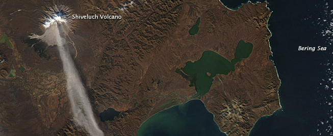
  • Shiveluch volcano eruption seen from space, Kamchatka

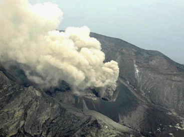
    When NASA’s Terra satellite passed over Russia’s Kamchatka Peninsula at noon local time (00:00 Universal Time) on October 6, 2012, Shilveluch Volcano was quiet (first image). By the time NASA’s Aqua satellite passed over the area

  • Two new low pressure areas formed in Atlantic

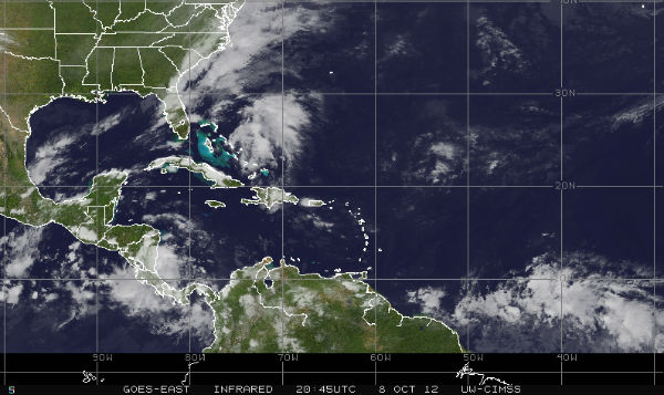
    A trough of low pressure (Invest 97L) is extending from southeastern Bahamas northward over the western Atlantic for a couple hundred miles. The system is producing disorganized showers and thunderstorm activity. Upper-level winds are forecast to become less conducive

  • M 6.3 earthquake hit Banda Sea, Indonesia

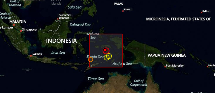
    An earthquake with recorded magnitude of 6.3 (USGS) hit Banda Sea, Indonesia on October 8, 2012 at 11:43 UTC. Epicenter was located 112 km (69 miles) SSE of Saparua, Indonesia at coordinates 4.442°S, 129.165°E. Recorded depth of this earthquake was 34.7 km

  • Tropical Storm Prapiroon formed in west Pacific

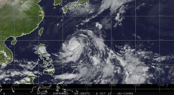
    Tropical Depression 22W become Tropical Storm Prapiroon on October 7 and now is located approximately 640 nm southeast of Kadena AB, Okinawa, Japan. The system is moving westward at 06 knots (11 km/h) over the past six hours. Maximum sustained winds are about 5o

  • M 6.0 earthquake hit Gulf of California

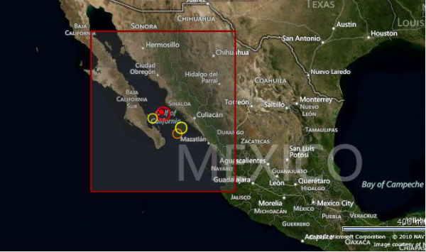
    Earthquake M6.0 hit Gulf of California on October 08, 2012 at 06:26:22 UTC. The epicenter was located  93 km (58 miles) SSW (209°) from Ahome, Sinaloa and Los Mochis, Sinaloa, Mexico (25.182°N, 109.622°W) at depth of 10.1 km (6.3 miles) according to USGS.EMSC

  • September’s Wang Shan landslide in Gansu, China – videos

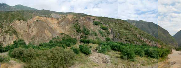
    Two members of the British Geological Survey landslide response team observed a landslide event at Wang Shan, China, on September 13, 2012.During a conference field trip around Gansu Province, the team captured a video of the landslide in progress; including the

  • Haze continues to spread over northeastern China and Bohai Sea

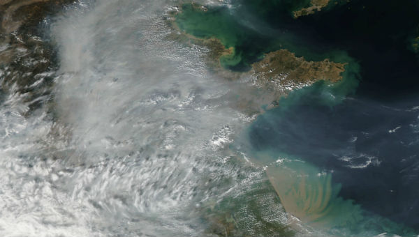
    Haze continues to loom in the air over northeastern China. The hazy veil has cleared over the Bohai Sea, but thickened over the plains nearby.Haze is common in this region, often caused by one or more of the following factors: wildfires or agricultural fires,