M6.0 earthquake registered south of the Kermadec Islands, New Zealand
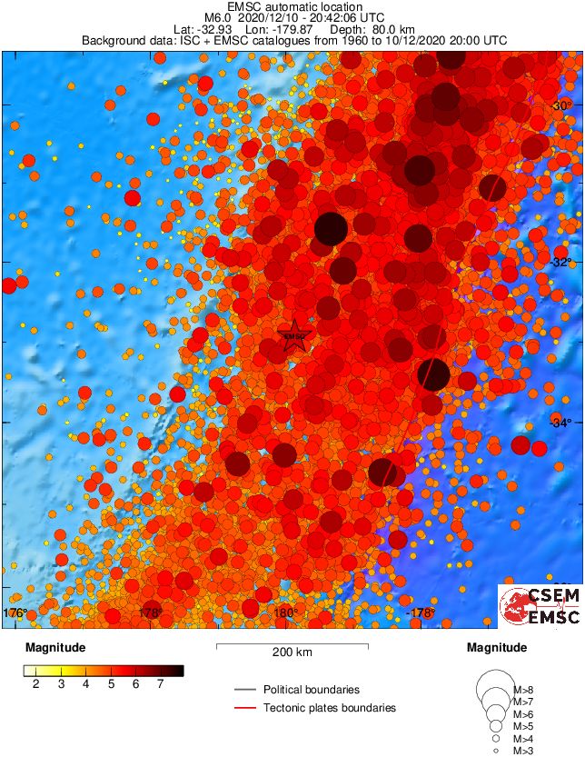
A strong earthquake registered by the USGS as M6.0 hit south of the Kermadec Islands, New Zealand at 20:42 UTC on December 6, 2020. The agency is reporting a depth of 82.7 km (51 miles). EMSC is reporting M6.0 at a depth of 80 km (49 miles).
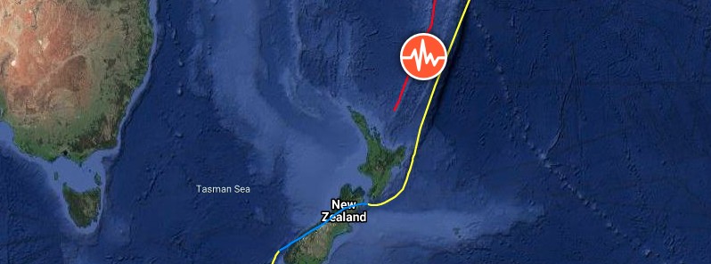
The epicenter was located 596 km (370 miles) NE of Whitianga, New Zealand.
There are no people living within 100 km (62 miles).
There is no tsunami threat from this earthquake.
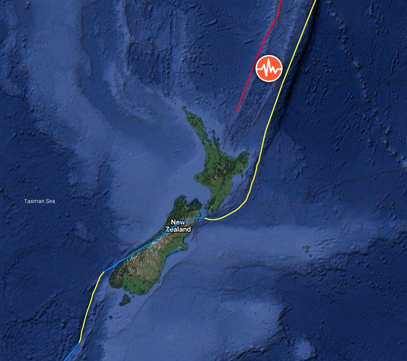
Image credit: TW/SAM, Google
The USGS issued a green alert for shaking-related fatalities and economic losses. There is a low likelihood of casualties and damage.
Regional seismicity
The Kermadec Islands are a subtropical island arc in the South Pacific Ocean 800 – 1 000 km (500 – 620 miles) northeast of New Zealand's North Island.
They are uninhabited, except for the permanently manned Raoul Island Station, the northernmost outpost of New Zealand.
Featured image credit: TW/SAM, Google
Commenting rules and guidelines
We value the thoughts and opinions of our readers and welcome healthy discussions on our website. In order to maintain a respectful and positive community, we ask that all commenters follow these rules:
We reserve the right to remove any comments that violate these rules. By commenting on our website, you agree to abide by these guidelines. Thank you for helping to create a positive and welcoming environment for all.