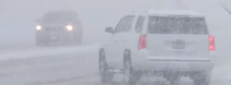
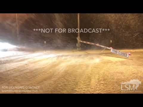
Major storm system producing widespread hazardous weather across much of the Central U.S.

A major storm system will continue producing heavy snow and blizzard conditions from the Dakotas to Minnesota Thursday into Friday, Aprill 11 into 12, 2019. Further south, destructive winds, blowing dust, and critical fire weather continues for the Southern Plains. Severe thunderstorms will threaten eastern Illinois and western Indiana Thursday. Power outages and dangerous travel are likely due to this widespread hazardous weather.
The storm is raising fears of more severe flooding in areas still trying to recover from last month's bomb cyclone and historic flooding that followed.
Portions of the interstate were shut down in Colorado, Minnesota and South Dakota, while schools were closed altogether or let out early in much of the region on Wednesday, April 10. Hundreds of flights were canceled and road conditions deteriorated rapidly throughout the afternoon.


A strong storm over the Central Plains will move northeastward to near James Bay by Saturday, April 12. Heavy, wet snow will continue west and north of the associated surface low, and 1 to 2 feet of (30 – 60 cm) snow is forecast from Northern Nebraska northeastward into parts of the Dakotas and Minnesota, NWS forecaster Ziegenfelder noted 11:42 UTC (07:42 UTC), April 11.
High winds are also likely, creating blizzard conditions in the Central/Northern Plains. Difficult to impossible travel conditions and power outages are expected.
Freezing rain is also a threat along the rain/snow line; a quarter of an inch (6 mm) of freezing rain is possible near the Iowa/Minnesota border and into Wisconsin.
Farther south in the warm air ahead of the low system, rain and thunderstorms are expected.
A Slight Risk of severe thunderstorms is in effect for the Western Ohio Valley in the Storm Prediction Center's outlook for Thursday. Marginal Risks of excessive rainfall/flash flooding are in place for portions of the Upper Great Lakes and Ohio Valley on Thursday.
Showers and thunderstorms will develop along and ahead of the associated front this afternoon and evening from the Western Ohio Valleys southward to the Lower Mississippi Valley. The showers and thunderstorms will move eastward to parts of the Northern Mid-Atlantic, Central Appalachians, and into the Central Gulf Coast by Friday evening into Saturday.
Behind the storm and an associated dryline, conditions will be favorable for fire weather throughout the Southwest and Southern/Central Plains, as high winds and higher gusts combine with very low relative humidities.
Featured image credit: Live Storms Media

Commenting rules and guidelines
We value the thoughts and opinions of our readers and welcome healthy discussions on our website. In order to maintain a respectful and positive community, we ask that all commenters follow these rules:
We reserve the right to remove any comments that violate these rules. By commenting on our website, you agree to abide by these guidelines. Thank you for helping to create a positive and welcoming environment for all.