Strong and shallow M6.2 earthquake hits Solomon Islands
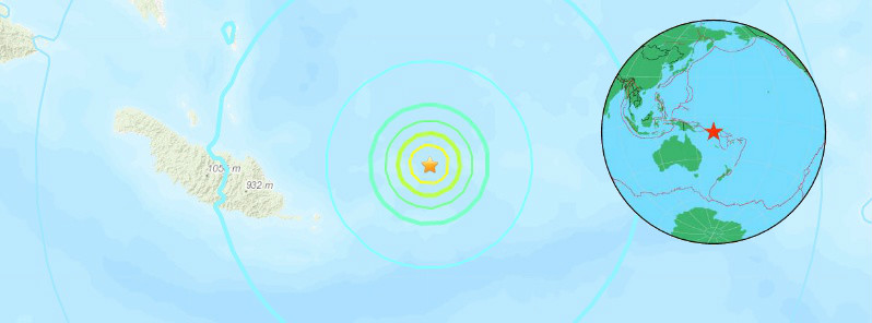
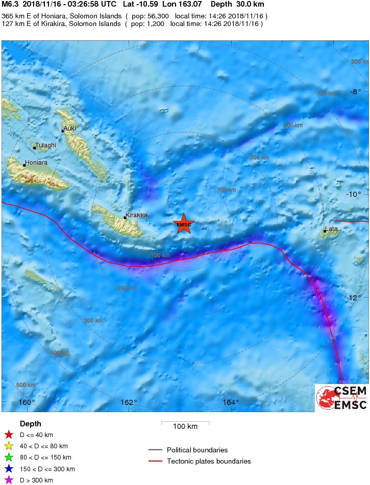
A strong and shallow earthquake registered by the USGS as M6.2 hit near the Solomon Islands at 03:26 UTC on November 16, 2018. The agency is reporting a depth of 10.6 km (6.6 miles). EMSC is reporting M6.3 at a depth of 30 km (18.6 miles). The quake was initially reported as M6.6.
This earthquake can have a low humanitarian impact based on the magnitude and the affected population and their vulnerability.
The epicenter was located 132 km (82 miles) E of Kirakira (population 1 122), and 370 km (230 miles) ESE of Honiara (population 56 298), Solomon Islands.
There were no immediate tsunami threat or reports of damage or casualties from the quake.
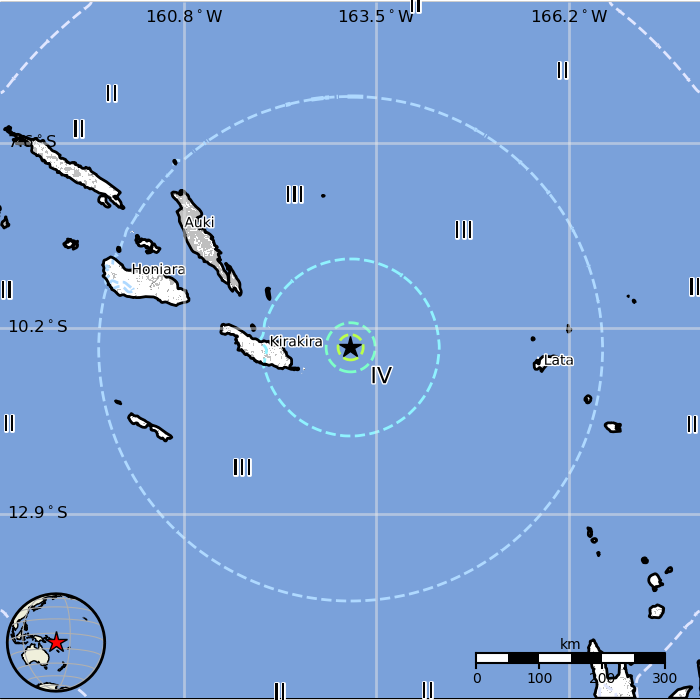
Some 29 000 people are estimated to have felt light shaking and 529 000 weak.
The USGS issued a green alert for shaking-related fatalities and economic losses. There is a low likelihood of casualties and damage.
Overall, the population in this region resides in structures that are highly vulnerable to earthquake shaking, though some resistant structures exist. The predominant vulnerable building types are unknown/miscellaneous types and wood construction.
Regional seismicity
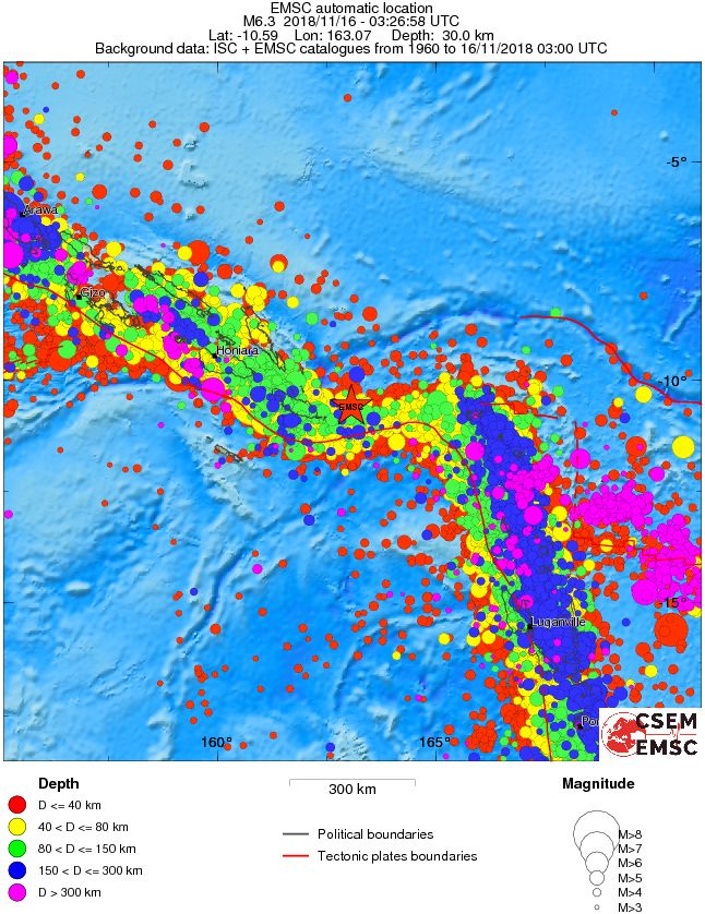
This is the fourth M6+ earthquake since 21:21 UTC, November 14 when M6.0 was registered near the east coast of Kamchatka, Russia. The Kamchatka quake was followed by M6.4 off the coast of off the coast Visokoi Island, South Georgia and the South Sandwich Islands at 20:02 UTC on November 15, 2018 and M6.3 at Southern East Pacific Rise at 23:09 UTC on November 15, 2018.
Featured image credit: USGS, EMSC, TW
Commenting rules and guidelines
We value the thoughts and opinions of our readers and welcome healthy discussions on our website. In order to maintain a respectful and positive community, we ask that all commenters follow these rules.