Double the average: Snowiest winter on record in Billings, Montana
The winter of 2017/18 will go down in the record books as the snowiest on record in Billings, Montana's largest city.
After an additional 6.6 cm (2.6 inches) of snow on April 23, Billings officially reached its snowiest winter on record, with 269.5 cm (106.1 inches) of snow so far this winter through the afternoon of April 23.
The previous record for Billings took place in 2013-14 when 262.9 cm (103.5 inches) of snow fell. In an average winter, Billings sees only 140 cm (55.1 inches) of snow, making this winter’s total nearly double the seasonal average.
A persistent pattern of moisture into the Pacific Northwest has led to well above average moisture in this part of the country while leaving areas further south much drier and warmer. California, Nevada and the Four Corners states have all seen considerably less snow than average, according to the WeatherNation.
The snow will clear, though, WeatherNation said, adding that the rest of the week and into the weekend looks drier and warmer, with above average temperatures.
Several more inches of snow fell in Billings, Montana, on Monday, bringing the city's 2017-2018 seasonal snowfall total to 106.1 inches. This makes the 2017-2018 winter season their snowiest on record. However, warmer weather is in store this week: https://t.co/mZVQUPSUnk pic.twitter.com/H1ag79XLwh
— AccuWeather (@breakingweather) April 24, 2018
The extended stretch of above average heat will also lead to rapid snowmelt in the Washington Cascades and Bitterroots, where current snowpack is running well above normal for late April.
"Some rivers and streams are running high and flowing fast, and the accelerated rate of melting snow will cause water levels to rise even more this week,” AccuWeather Senior meteorologist Mike Doll said.
Streams, creeks and rivers in watersheds encompassing the mountains of southern British Columbia and the northern Washington Cascades are at the highest risk for overflowing their banks and threatening lives and property with flooding, he warns.
The above-average temperatures will end over the weekend when a vigorous, energetic storm system rolls into the Pacific Northwest and Northern California, renewing the threat of rain, thunder and hail.
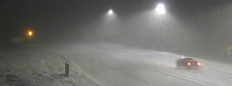
Featured image: Snowing in Montana's MacDonald Pass / Lewis Dortch
Commenting rules and guidelines
We value the thoughts and opinions of our readers and welcome healthy discussions on our website. In order to maintain a respectful and positive community, we ask that all commenters follow these rules:
We reserve the right to remove any comments that violate these rules. By commenting on our website, you agree to abide by these guidelines. Thank you for helping to create a positive and welcoming environment for all.