Lake-like structure after landslide at Gangotri glacier, source of River Ganges
Authorities are monitoring a lake-like structure that formed a few months ago after a heavy landslide occurred at Gaumukh, the mouth of Gangotri glacier in Uttarakhand, India. This glacier, one of the primary sources of River Ganges, is one of the largest in the Himalayas with an estimated volume of over 27 km3 (6.5 mi3).
Another team of scientists and specialists comprising personnel of the State Disaster Response Force (SDRF), Nehru Institute of Mountaineering and forest department was on its way to the site Wednesday, December 13, after a technical task force team dispatched Tuesday had to return due to snowfall.
The initial decision to investigate the glacier was made after satellite images acquired Monday, December 11 showed a heavy landslide occurred at the Gangotri glacier. The imagery suggested a fresh water body has been formed and is possibly affecting the glacier.
According to The Times of India, scientists on an expedition to the glacier in October had found that because of the formation of the lake, the river is now flowing from the left side of the glacial snout instead of straight as was the case earlier. This change in flow might have disastrous consequences for Gaumukh, leading to its collapse, they had warned.
The implications of the creation of another water body in the glacier were not immediately apparent although the information created anxiety among the government agencies.
Update
According to The Indian Express, a team of scientists and government officials who did an aerial survey of the Gangotri glacier Thursday, December 14 dismissed claims of any lake formation at Gaumukh which could hinder the course of the Bhagirathi river.
"While the course of the Bhagirathi has shifted slightly to the right due to the landslide in July, we didn’t observe any obstruction in the path of the river," said Vikram Gupta, scientist at the Dehradun-based Wadia Institute of Himalayan Geology (WIHG) who was a part of the team that did the aerial survey.
"Debris had accumulated near the Gangotri snout after the July landslide, but it might have been washed off during rainfall since we didn’t witness much debris near Gaumukh," Piyoosh Rautela, Executive Director of Disaster Mitigation and Management Centre (DMMC) said.
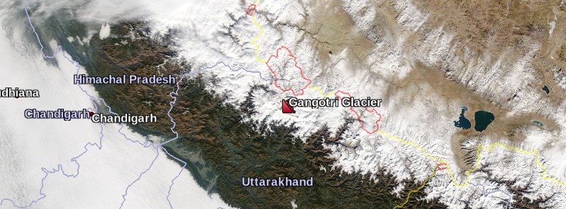
Featured image: Gangotri Glacier, India. Credit: NASA Aqua/MODIS (December 14, 2017), Google
Commenting rules and guidelines
We value the thoughts and opinions of our readers and welcome healthy discussions on our website. In order to maintain a respectful and positive community, we ask that all commenters follow these rules.