High volcanic gas emission and Crater Lake temperature at Mount Ruapehu, New Zealand
An increase in volcanic gas emissions and sustained high lake temperature (Te Wai Ā-Moe) suggest a slightly higher level of activity at New Zealand's Mount Ruapehu, GeoNet reports. The Volcanic Alert Level remains at 1 and the Aviation Color Code at Green. The last eruption of this volcano took place in 2007.
The recent fine weather has allowed GeoNet scientists to make airborne gas measurements over Mount Ruapehu. These recorded high levels of CO2, SO2 and H2S emission from the Crater Lake (Te Wai Ā-Moe). The CO2 emission rate on November 23 was 2 290 tonnes per day, one of the largest values recorded in recent years. The current lake temperature is 37 °C (98.6 °F), which is near the top of its usual range and has been sustained over the past 2 months.
"The data are consistent with open vent degassing of Ruapehu. Higher than usual temperatures and high gas fluxes like we have now are common in the open vent situation and have been observed in the past outside eruptive periods," GeoNet's Duty Volcanologist Tony Hurst said.
Volcanic seismic tremor remains at moderate levels, Hurst added. "The fine weather has also allowed the taking of water samples from Ruapehu Crater Lake and the analysis of these samples is underway. "
The Volcanic Alert Level of Ruapehu remains at 1 and the Aviation Color Code at Green.
The last eruption of this volcano occurred on September 25, 2017. It had Volcanic Explosivity Index of 1 (out of 7).
Geological summary
Ruapehu, one of New Zealand's most active volcanoes, is a complex stratovolcano constructed during at least four cone-building episodes dating back to about 200 000 years ago. The 110 km3 (26.4 mi3) dominantly andesitic volcanic massif is elongated in a NNE-SSW direction and surrounded by another 100 km3 (24 mi3) ring plain of volcaniclastic debris, including the Murimoto debris-avalanche deposit on the NW flank.
A series of subplinian eruptions took place between about 22 600 and 10 000 years ago, but pyroclastic flows have been infrequent. A single historically active vent, Crater Lake, is located in the broad summit region, but at least five other vents on the summit and flank have been active during the Holocene. Frequent mild-to-moderate explosive eruptions have occurred in historical time from the Crater Lake vent, and tephra characteristics suggest that the crater lake may have formed as early as 3 000 years ago. Lahars produced by phreatic eruptions from the summit crater lake are a hazard to a ski area on the upper flanks and to lower river valleys. (GVP)
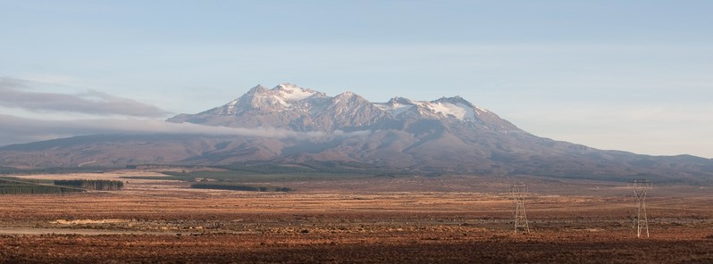
Featured image: Mount Ruapehu, New Zealand. Credit: Russellstreet
Commenting rules and guidelines
We value the thoughts and opinions of our readers and welcome healthy discussions on our website. In order to maintain a respectful and positive community, we ask that all commenters follow these rules:
We reserve the right to remove any comments that violate these rules. By commenting on our website, you agree to abide by these guidelines. Thank you for helping to create a positive and welcoming environment for all.