Queensland had wettest October since 1975 and 3rd wettest on record, Australia
Queensland had its third-wettest October on record averaged across the State, and the wettest October since 1975, the Australian Bureau of Meteorology reported in their monthly climate summary released November 1. The storms forced evacuations, caused power outages, road closures, widespread crop losses and left 7 people dead.
It was the wettest October on record in parts of the Wide Bay, Burnett and North Tropical Coast districts. Daytime temperatures were cooler than average in the east and warmer than average in the west. Overnight temperatures were warmer than average across most of the State, with record warm nights in the southeast, and in parts of the southern and central interior.
The main driver of the unusually wet conditions appear to be warmer-than-usual sea surface temperatures off the Queensland coast, Weatherzone meteorologist Rob Sharpe said.
Record high rainfall in eastern and southern Queensland
- Queensland had its third-wettest October on record, averaged across the State
- Numerous rain-bearing systems brought widespread, moderate to locally heavy falls during the month
- At the start of the month, a surface trough and upper level disturbance produced heavy rainfall in the Wide Bay and Burnett district – some locations had their highest October daily rainfall on record on the 3rd
- Another low level trough and upper level low in the middle of the month produced further widespread moderate to heavy falls along Queensland's east coast, with many locations reporting their highest October daily rainfall on record between the 17th and the 20th
- Many locations had their highest total October rainfall on record or in several decades
Flooding; severe thunderstorms
- Major flooding occurred in the Kolan River and Baffle Creek during October
- Severe thunderstorms produced damaging wind gusts and large hail on the 23rd, with a house losing its roof near Oakey and reports of hail at Gympie with a diameter greater than 3 cm (1.2 inches)
- On the 27th, severe thunderstorms produced damaging winds, with structural damage to a shed at Withcott near Toowoomba, and to property at Burleigh Heads in the Gold Coast
- Reports of hail with a diameter greater than 4 cm (1.6 inches) at Gatton, Beaudesert and Toowoomba on the 27th
- Severe thunderstorms produced hail between 2 cm and 4 cm (0.8 and 1.6 inches) in diameter at Deception Bay, Kallangur, Petrie, Highvale and Greenbank on the 30th
Above average days in the west and below average in the east
- Statewide, mean maximum temperatures were slightly above average
- Warmer than average days in the west; cooler than average days in the east due to numerous rainfall events during the month
- A cool start to the month, with Mitchell and St George recording their coolest October day (lowest maximum temperature) on record on the 1st
Third-warmest mean minimum temperatures on record
- Queensland had its third-warmest mean minimum temperatures on record
- Overnight temperatures were warmer than average across most of the State, with record warm nights in the southeast and southern interior
- Warm nights on the 11th and 12th, with Brisbane, Sunshine Coast Airport, Coolangatta and Injune reporting their warmest October night (highest daily minimum temperature) on record
- Numerous stations, including Charleville, Gympie, Rockhampton, Gatton, Brisbane and the Sunshine Coast had their highest October mean daily minimum temperature on record or in several decades
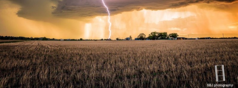
Featured image: Queensland, Australia on October 29, 2017. Image copyright: SBJ Photography
Commenting rules and guidelines
We value the thoughts and opinions of our readers and welcome healthy discussions on our website. In order to maintain a respectful and positive community, we ask that all commenters follow these rules.