October seismicity in Yellowstone marked by the ongoing but waning swarm
The October 2017 seismicity in Yellowstone was marked by the ongoing but waning earthquake swarm north of West Yellowstone, MT, contributing 60 earthquakes to the existing catalog of 2 475 events located in the area since June, the Yellowstone Volcano Observatory reports in their monthly update released November 1, 2017.
During October 2017, the University of Utah Seismograph Stations, responsible for the operation and analysis of the Yellowstone Seismic Network, reports that 111 earthquakes were located in the Yellowstone National Park region.
The two largest earthquakes of the month both registered magnitude 2.2 and occurred on October 30 and 31, one about 11 km (7 miles) northeast of West Yellowstone, MT, at 09:29 UTC (03:29 MDT) on October 30, and another about 5 km (3 miles) north-northeast of West Thumb, WY, at 05:12 UTC on October 31 (23:12 MDT, October 30).
October seismicity in Yellowstone was marked by the ongoing but waning swarm north of West Yellowstone, contributing 60 earthquakes to the existing catalog of 2 475 events located in the area since June. The largest event of the swarm during the month was the October 30, 09:29 UTC (03:29 MDT), magnitude 2.2 earthquake.
Overall activity in this swarm since its June 12 initiation includes one earthquake of magnitude 4.4, 12 earthquakes in the magnitude 3 range, and 186 earthquakes in the magnitude 2 range.
There are several additional earthquakes visible on the webicorders that cannot be located because they are too small or overlap another event, and these are not included in earthquake counts, the report said.
Additionally, October 2017 seismicity includes a small swarm of 21 located earthquakes that occurred on October 30 (MDT) about 5 km (3 miles) north-northeast of West Thumb, WY. The largest event in the series was the other aforementioned magnitude 2.2 earthquake (05:12 UTC on October 31 (23:12 MDT, October 30)).
Earthquake sequences like these are common and account for roughly 50% of the total seismicity in the Yellowstone region. Yellowstone seismicity is at normal levels compared with typical background activity.
Styles and rates of ground deformation in the region have been steady for the past several months. Uplift near the Norris Geyser Basin and subsidence within the caldera are both occurring a rates of a few millimeters per month. These deformation patterns are consistent with historical activity.
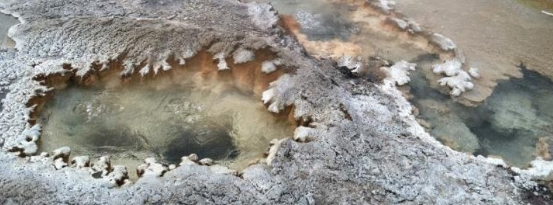
Featured image: Silica sinter (an amorphous form of silicon dioxide) forms from the waters that flow from hot springs near Shoshone Lake, Yellowstone National Park. Credit: USGS/YVO
Commenting rules and guidelines
We value the thoughts and opinions of our readers and welcome healthy discussions on our website. In order to maintain a respectful and positive community, we ask that all commenters follow these rules:
We reserve the right to remove any comments that violate these rules. By commenting on our website, you agree to abide by these guidelines. Thank you for helping to create a positive and welcoming environment for all.