Bardarbunga eruption intensifies – two new effusive fissures opened up, Iceland
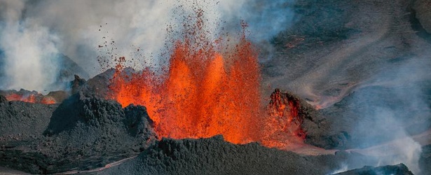
Two new effusive fissures have opened up in the Holuhraun eruption (Bardarbunga volcano), about 2 kilometres north of the Dyngjujokull outlet glacier. Lava is streaming out of the new fissures, but they are smaller than the one that started erupting last Sunday. The area around the Holuhraun eruption is now closed to all traffic.
According to RUV – The Icelandic National Broadcasting Service, the two new fissures are about 1,5 kilometers south of the previous eruption.
Volcanologist Thorvaldur Thordarson said large new surface cracks have been observed there in the last days, and a small rift valley (graben) has formed, which extends under the glacier.
According to Icelandic Met Office (IMO), earthquakes until 06:00 UTC today have been recorded in similar locations as in recent days: in Bárðarbunga, in the dyke intrusion beneath and north of Dyngjujökull and at Herðubreiðartögl.
Two earthquakes of magnitude 4.3 and 5.2 occurred on the rim of the Bárðarbunga caldera. The first earthquake was recorded at 23:33 UTC yesterday and the larger event at 01:19 UTC today.
Since midnight, the total number of automatically located earthquakes is around 100.
Web camera views of the eruption site during the night showed volcanic activity at similar levels to yesterday. See map.

New map
The position this morning of the southern tip of the new fissure (red triangle) and of the new extent of the earlier lava (red circle) are given on a new map. The expansion of the earlier lava is also shown.
.jpg)
Institute of Earth Sciences University of Iceland September 5, 2014: New coordinates from surveillance flight. Edges of lava 31.8-4.9. based on radar images from TF-SIF of the Coast Guard and GPS measurements from the field (IES). Map base from the National Land Survey of Iceland.
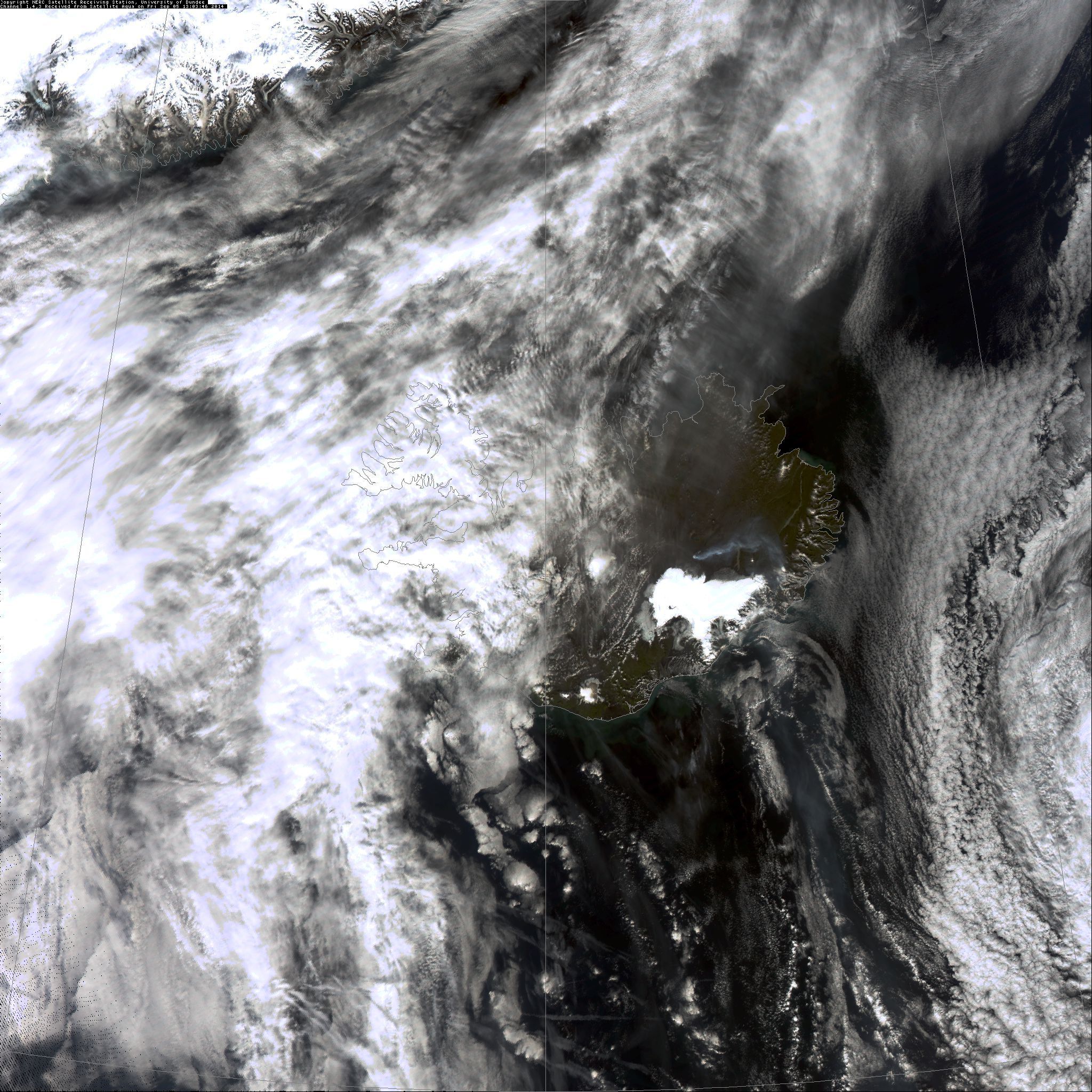
Below is a satellite image which shows the drift of the plume.
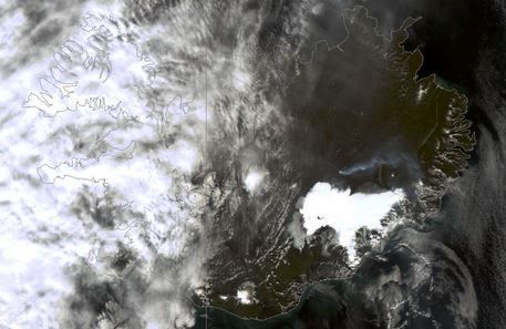
The plume from Holuhraun on September 5, 2014 seems to drift southwards just east of the Vatnajökull ice cap. Ash is negligible. Part of a larger satellite image: NERC Satellite Receiving Station, University of Dundee, Channel 1, 4, 3, Aqua, Friday, September 5, 2014 at 13:03 UTC.
Two new fissures closer to #Dyngjujokull glacier discovered by our reporter @laraomars #Bardarbunga #Holuhraun pic.twitter.com/DlNC7tYfKk
— Fréttastofa RÚV (@RUVfrettir) September 5, 2014
New one near the glacier #holuhraun #eruption #volcano @RUVfrettir #bardarbunga pic.twitter.com/Dn2aIjHNZ7
— Lara Omarsdottir (@laraomars) September 5, 2014
World's newest rocks #bardarbunga pic.twitter.com/28TwNqaH9W
— BGS Volcanology (@BGSvolcanology) September 4, 2014
100m high lava fountains this morning! The one on right has always been active, left one formed Sept 2. #Bardarbunga pic.twitter.com/XQlNKZkUcW
— Univ. of Iceland (@uni_iceland) September 4, 2014
The northernmost crater in #Holuhraun this morning. Credit: Þorbjörg Ágústsdóttir (@fencingtobba) pic.twitter.com/g9Nt6Wj5VB
— Univ. of Iceland (@uni_iceland) September 4, 2014
Fire and ice. #Holuhraun eruption with #Dyngjujökul in the back.. Credit: Univ. of Iceland/Ágúst Þór Gunnlaugsson pic.twitter.com/NAa7bvK0X1
— Univ. of Iceland (@uni_iceland) September 4, 2014
How about this! Pilot takes detour so passengers can see #Bardarbunga eruption @Icelandair http://t.co/PN6q05n3l1 pic.twitter.com/LdO5KEZsqK
— Telegraph Travel (@TelegraphTravel) September 4, 2014
Featured image credit: University of Iceland
Unbelievable