Saltwater coming upstream into the Mississippi river, US
Salt water is threatening drinking water in the New Orleans area. Due to low water levels in the Mississippi River, salt water has been moving far upriver and was at the outskirts of New Orleans by August 15, reaching about 145 km (89 miles) north of the mouth of the Mississippi. The Mississippi River’s volume of water flow has fallen to a level that allows saltwater to intrude upstream into the Mississippi River above the Head of Passes according to USACE Team New Orleans. The Mississippi River has been closed temporarily as contractors placed a pipeline in the Mississippi River to build an underwater barrier that the US Army Corps of Engineers (USACE) says will stop the advance of salt water.

USACE reports that the intrusion of saltwater upstream into the Mississippi River is a naturally occurring periodic condition. The river’s bottom profile is deeper that the Gulf of Mexico water surface level up to about 25 km (15 miles) downstream of Natchez, Mississippi. Denser saltwater flows upstream along the bottom of the river underneath the less dense fresh river water. Saltwater’s upriver travel can affect municipal drinking water and industrial water supplies.

Health concern
Slowing currents amid one of the most widespread droughts in recent memory has allowed water from the Gulf of Mexico to breach Plaquemines’ water plants and come within six river miles of New Orleans’ own water supply points. Drinking water advisory were issued as saltwater contaminated water supplies at Dalcour, Belle Chasse, Pointe a la Hache and Port Sulphur. On August 15, Plaquemines Parish issued an advisory to residents living in the parish that high levels of sodium and chloride were being measured in drinking water. Anyone on dialysis and/or low-sodium diets was urged to check with a health care provider about drinking parish water. EPA’s secondary maximum contaminant level for chloride is 250 mg/L. The maximum chloride detected in drinking water in the Port Sulphur area was 362 mg/L. Sodium levels in the parish’s drinking water ranged from 60 mg/L to 200 mg/L , which is far more than the EPA recommendation of no more than 20 mg/L for people on very low sodium diets.
However, Guy Laigast, director of the parish’s Office of Homeland Security and Emergency Preparedness said that the water’s “perfectly safe to drink, it’s just got the elevated salt”. But we advice you to drink safe water instead of elevated salt one. Salty water is denser than fresh, it tends to collect at lower depth.But pipes that pull drinking water from the river tend to draw from those same depths.
Saltwater wedge and underwater barrier

Drought conditions
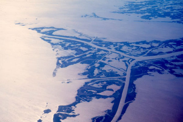
Featured image: Mississippi delta (Credit: NOAA Photo Library)
Tides are a force to be reckoned with in my neck of the woods especially where the creek/river meets the sea. Water sea levels can surge fast and furious in a creek/river to a point of overwhelming you if you’re not paying attention.
It’s hard to fathom the mighty Mississippi running low levels of fresh water only to be replaced with sea water. Commerce will come to halt on the river that will affect our economy immensely, in the meantime, we will need to rely on other modes of expensive transportation for commodities that were once inexpensive via shipping lanes if the water levels continue to deteriorate.